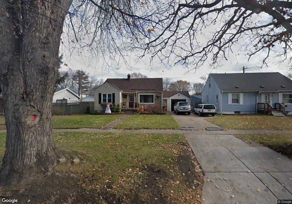
3126 10th Ave Port Huron, MI 48060
Estimated Value: $206,789 - $229,000
3
Beds
2
Baths
1,550
Sq Ft
$141/Sq Ft
Est. Value
About This Home
This home is located at 3126 10th Ave, Port Huron, MI 48060 and is currently estimated at $218,447, approximately $140 per square foot. 3126 10th Ave is a home located in St. Clair County with nearby schools including Garfield Elementary School, Holland Woods Middle School, and Port Huron Northern High School.
Ownership History
Date
Name
Owned For
Owner Type
Purchase Details
Closed on
Oct 20, 2010
Sold by
Sanderson Michael S and Sanderson Amy K
Bought by
Loewenthal Andrew
Current Estimated Value
Home Financials for this Owner
Home Financials are based on the most recent Mortgage that was taken out on this home.
Original Mortgage
$88,701
Interest Rate
4.23%
Mortgage Type
FHA
Purchase Details
Closed on
Aug 27, 2009
Sold by
Mcvety Daniel J and Mcvety Paula M
Bought by
The Bank Of New York Mellon and The Bank Of New York
Create a Home Valuation Report for This Property
The Home Valuation Report is an in-depth analysis detailing your home's value as well as a comparison with similar homes in the area
Home Values in the Area
Average Home Value in this Area
Purchase History
| Date | Buyer | Sale Price | Title Company |
|---|---|---|---|
| Loewenthal Andrew | $89,900 | None Available | |
| The Bank Of New York Mellon | $85,000 | None Available |
Source: Public Records
Mortgage History
| Date | Status | Borrower | Loan Amount |
|---|---|---|---|
| Previous Owner | Loewenthal Andrew | $88,701 |
Source: Public Records
Tax History Compared to Growth
Tax History
| Year | Tax Paid | Tax Assessment Tax Assessment Total Assessment is a certain percentage of the fair market value that is determined by local assessors to be the total taxable value of land and additions on the property. | Land | Improvement |
|---|---|---|---|---|
| 2025 | $2,273 | $90,400 | $0 | $0 |
| 2024 | $1,936 | $82,600 | $0 | $0 |
| 2023 | $1,829 | $73,300 | $0 | $0 |
| 2022 | $1,924 | $65,300 | $0 | $0 |
| 2021 | $1,826 | $60,900 | $0 | $0 |
| 2020 | $1,847 | $58,300 | $58,300 | $0 |
| 2019 | $1,814 | $51,100 | $0 | $0 |
| 2018 | $1,774 | $51,100 | $0 | $0 |
| 2017 | $1,584 | $46,100 | $0 | $0 |
| 2016 | $1,355 | $46,100 | $0 | $0 |
| 2015 | $1,330 | $41,400 | $41,400 | $0 |
| 2014 | $1,330 | $37,900 | $37,900 | $0 |
| 2013 | -- | $36,500 | $0 | $0 |
Source: Public Records
Map
Nearby Homes
- 3214 Poplar St
- 1020 Sanborn St
- 3321 Stone St
- 1202 Palmer Ct
- 2913 11th Ave
- 1531 Robinson St
- 1424 Hazelwood Ln
- 1434 Schumaker St
- 1218 Garfield St
- 3455 Gratiot Ave
- 3208 Mount Vernon Rd
- 1116 Hancock St
- 2835 17th Ave
- 2812 19th Ave
- 2419 Cherry St
- 2400 Stone St Unit 2414
- 3419 Riverside Dr
- 909 Elmwood St
- 2431 Armour St
- 2215 Hancock St
- 3122 10th Ave
- 3127 Poplar St
- 3132 10th Ave
- 3120 10th Ave
- 3131 Poplar St
- 3133 Poplar St
- 1306 Florida Ave
- 3123 Poplar St
- 3112 10th Ave
- 1302 Florida Ave
- 3135 10th Ave
- 3131 10th Ave
- 3113 Poplar St
- 3144 10th Ave
- 3128 Poplar St
- 3130 Poplar St
- 3106 10th Ave
- 3126 Poplar St
- 1302 Florida Ave Ave
- 1213 Sparta Dr