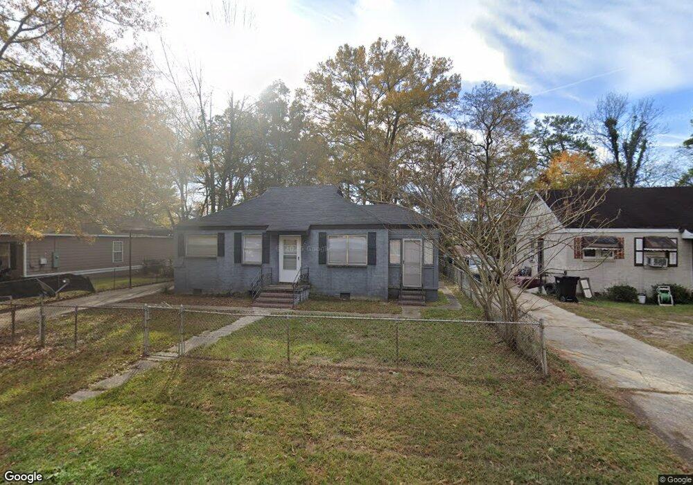
3126 Baker Cir Columbus, GA 31903
Estimated Value: $26,000 - $53,000
2
Beds
1
Bath
942
Sq Ft
$48/Sq Ft
Est. Value
About This Home
This home is located at 3126 Baker Cir, Columbus, GA 31903 and is currently estimated at $44,770, approximately $47 per square foot. 3126 Baker Cir is a home located in Muscogee County with nearby schools including Dorothy Height Elementary School, Baker Middle School, and Spencer High School.
Ownership History
Date
Name
Owned For
Owner Type
Purchase Details
Closed on
May 23, 2007
Sold by
The Bank Of New York Trust Co Na
Bought by
Orca Development Llc
Current Estimated Value
Home Financials for this Owner
Home Financials are based on the most recent Mortgage that was taken out on this home.
Original Mortgage
$27,500
Interest Rate
6.12%
Mortgage Type
Purchase Money Mortgage
Purchase Details
Closed on
Feb 6, 2007
Sold by
Bush Christopher J
Bought by
The Bank Of New York Trust Co Na
Create a Home Valuation Report for This Property
The Home Valuation Report is an in-depth analysis detailing your home's value as well as a comparison with similar homes in the area
Home Values in the Area
Average Home Value in this Area
Purchase History
| Date | Buyer | Sale Price | Title Company |
|---|---|---|---|
| Orca Development Llc | $20,000 | None Available | |
| The Bank Of New York Trust Co Na | $42,240 | None Available |
Source: Public Records
Mortgage History
| Date | Status | Borrower | Loan Amount |
|---|---|---|---|
| Closed | Orca Development Llc | $27,500 |
Source: Public Records
Tax History Compared to Growth
Tax History
| Year | Tax Paid | Tax Assessment Tax Assessment Total Assessment is a certain percentage of the fair market value that is determined by local assessors to be the total taxable value of land and additions on the property. | Land | Improvement |
|---|---|---|---|---|
| 2025 | $595 | $15,200 | $4,212 | $10,988 |
| 2024 | $595 | $15,200 | $4,212 | $10,988 |
| 2023 | $231 | $15,280 | $4,212 | $11,068 |
| 2022 | $239 | $5,860 | $4,212 | $1,648 |
| 2021 | $163 | $3,980 | $3,980 | $0 |
| 2020 | $163 | $3,980 | $3,980 | $0 |
| 2019 | $295 | $7,192 | $1,052 | $6,140 |
| 2018 | $295 | $7,192 | $1,052 | $6,140 |
| 2017 | $296 | $7,192 | $1,052 | $6,140 |
| 2016 | $545 | $13,217 | $1,826 | $11,391 |
| 2015 | $546 | $13,217 | $1,826 | $11,391 |
| 2014 | $547 | $13,217 | $1,826 | $11,391 |
| 2013 | -- | $13,217 | $1,826 | $11,391 |
Source: Public Records
Map
Nearby Homes
- 3135 Baker Cir
- 3111 Baker Cir
- 1029 Harbison Dr
- 920 Brooks Rd
- 1025 Fletcher Ave
- 903 Winston Rd
- 906 Winston Rd
- 824 Winston Rd
- 1274 Providence Ln
- 2459 Brownie Ln
- 2463 Brownie Ln
- 2451 Brownie Ln
- 917 Fletcher Ave
- 750 Winston Rd
- 812 Benning Dr
- 2463 Brownie St
- 716 Benning Dr
- 2973 Hawthorne Dr
- 1401 Clark Ave
- 3223 Lee St