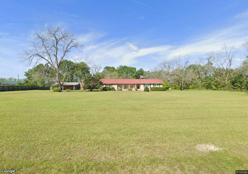
3126 Duncan Rd Quitman, GA 31643
Estimated Value: $182,038 - $296,000
3
Beds
3
Baths
1,720
Sq Ft
$126/Sq Ft
Est. Value
About This Home
This home is located at 3126 Duncan Rd, Quitman, GA 31643 and is currently estimated at $217,010, approximately $126 per square foot. 3126 Duncan Rd is a home located in Brooks County with nearby schools including Quitman Elementary School.
Ownership History
Date
Name
Owned For
Owner Type
Purchase Details
Closed on
Feb 28, 2013
Sold by
Sapp Brenda M
Bought by
Lee Laura S
Current Estimated Value
Purchase Details
Closed on
Sep 10, 2009
Sold by
Sapp Brenda M
Bought by
Sapp Martin A
Purchase Details
Closed on
Aug 3, 2006
Sold by
Brooks Land & Timber Llc
Bought by
Carroll Wayne H and Carroll Donna D
Purchase Details
Closed on
Dec 15, 2000
Sold by
Mcallister Georgia
Bought by
Sapp Brenda M
Purchase Details
Closed on
Oct 4, 1995
Sold by
Mcallister Herbert
Bought by
Mcallister Georgia
Create a Home Valuation Report for This Property
The Home Valuation Report is an in-depth analysis detailing your home's value as well as a comparison with similar homes in the area
Purchase History
| Date | Buyer | Sale Price | Title Company |
|---|---|---|---|
| Lee Laura S | -- | -- | |
| Sapp Martin A | -- | -- | |
| Carroll Wayne H | $6,128 | -- | |
| Sapp Brenda M | -- | -- | |
| Mcallister Georgia | -- | -- |
Source: Public Records
Tax History
| Year | Tax Paid | Tax Assessment Tax Assessment Total Assessment is a certain percentage of the fair market value that is determined by local assessors to be the total taxable value of land and additions on the property. | Land | Improvement |
|---|---|---|---|---|
| 2025 | $1,873 | $61,940 | $9,960 | $51,980 |
| 2024 | $1,873 | $61,940 | $9,960 | $51,980 |
| 2023 | $1,924 | $58,460 | $9,440 | $49,020 |
| 2022 | $1,827 | $54,980 | $9,000 | $45,980 |
| 2021 | $1,521 | $45,300 | $9,360 | $35,940 |
| 2020 | $1,278 | $46,020 | $9,360 | $36,660 |
| 2019 | $1,320 | $39,500 | $9,000 | $30,500 |
| 2018 | $1,145 | $39,220 | $8,160 | $31,060 |
| 2017 | $1,264 | $38,100 | $8,160 | $29,940 |
| 2016 | $1,311 | $38,620 | $8,160 | $30,460 |
| 2015 | -- | $37,300 | $8,160 | $29,140 |
| 2014 | -- | $38,300 | $8,160 | $30,140 |
| 2013 | -- | $38,300 | $8,160 | $30,140 |
Source: Public Records
Map
Nearby Homes
- 1019 Fodie Rd
- 1521 Mount Carmel Chuch Rx
- 2430 Spain Rd
- 714 Morris Ave
- 103 Victorian Way
- 506 Oglesby St
- 1306 E Screven St
- 807 N Court St
- 204 Oak St
- 300 N Highland Rd
- 700 N Washington St
- 0 E Gordon St
- 606 N Court St
- 203 N Clay St
- Lot 14 Dawn Ln
- 376 Jamar Trail
- 471 Jamar Trail
- 149 Sunflower Trail
- 19 Sunflower Trail
- 521 Sunflower Trail
- 3130 Duncan Rd
- 3130 Duncan Rd
- 2670 Duncan Rd
- 3376 Duncan Rd
- 3434 Duncan Rd
- 2484 Duncan Rd
- 1909 Troupeville Rd
- 2375 Duncan Rd
- 1445 Troupeville Rd
- 1910 Troupeville Rd
- 3346 Adel Hwy
- 1946 Troupeville Rd
- 1305 Troupeville Rd
- 3282 Adel Hwy
- 2077 Troupeville Rd
- 1381 Troupeville Rd
- 1952 Troupeville Rd
- 3424 Adel Hwy
- 1992 Troupeville Rd
- 1534 Troupeville Rd
Your Personal Tour Guide
Ask me questions while you tour the home.