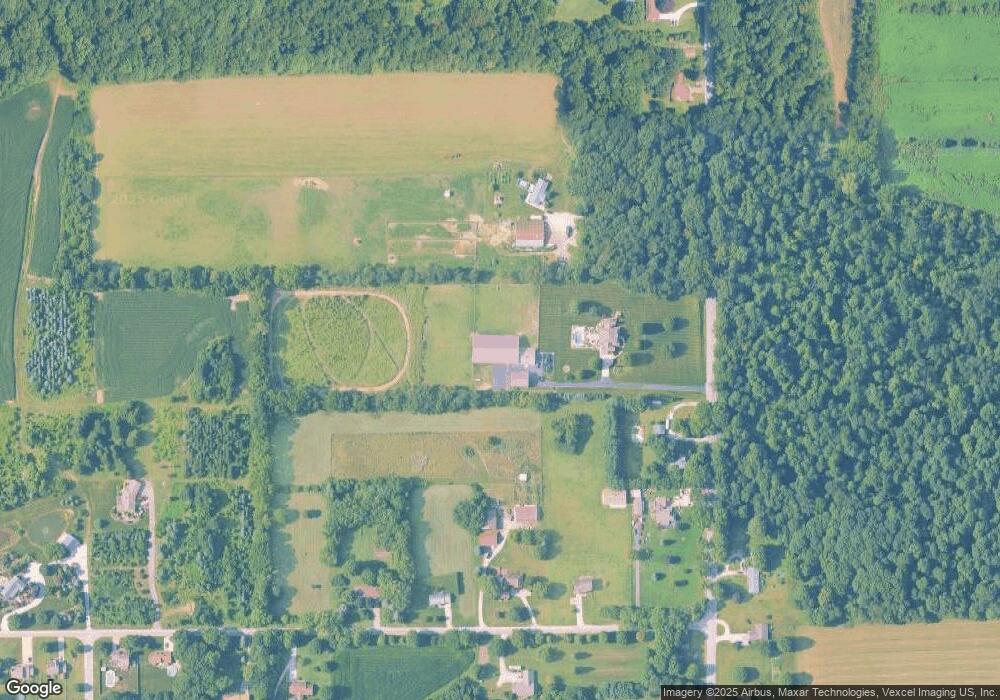
3126 N Fail Rd La Porte, IN 46350
Estimated Value: $1,021,000 - $1,209,542
5
Beds
4
Baths
4,916
Sq Ft
$227/Sq Ft
Est. Value
About This Home
This home is located at 3126 N Fail Rd, La Porte, IN 46350 and is currently estimated at $1,115,271, approximately $226 per square foot. 3126 N Fail Rd is a home located in LaPorte County with nearby schools including New Prairie High School and St. John's Lutheran School.
Ownership History
Date
Name
Owned For
Owner Type
Purchase Details
Closed on
May 8, 2018
Sold by
Martin Mark R and Martin Karen S
Bought by
Hensley Steven B
Current Estimated Value
Home Financials for this Owner
Home Financials are based on the most recent Mortgage that was taken out on this home.
Original Mortgage
$560,000
Outstanding Balance
$470,145
Interest Rate
3.37%
Mortgage Type
Adjustable Rate Mortgage/ARM
Estimated Equity
$645,126
Create a Home Valuation Report for This Property
The Home Valuation Report is an in-depth analysis detailing your home's value as well as a comparison with similar homes in the area
Home Values in the Area
Average Home Value in this Area
Purchase History
| Date | Buyer | Sale Price | Title Company |
|---|---|---|---|
| Hensley Steven B | -- | None Available |
Source: Public Records
Mortgage History
| Date | Status | Borrower | Loan Amount |
|---|---|---|---|
| Open | Hensley Steven B | $560,000 |
Source: Public Records
Tax History Compared to Growth
Tax History
| Year | Tax Paid | Tax Assessment Tax Assessment Total Assessment is a certain percentage of the fair market value that is determined by local assessors to be the total taxable value of land and additions on the property. | Land | Improvement |
|---|---|---|---|---|
| 2024 | $10,803 | $894,500 | $58,500 | $836,000 |
| 2023 | $10,792 | $898,200 | $56,200 | $842,000 |
| 2022 | $11,444 | $924,300 | $53,800 | $870,500 |
| 2021 | $11,059 | $866,500 | $52,600 | $813,900 |
| 2020 | $9,962 | $866,500 | $52,600 | $813,900 |
| 2019 | $9,733 | $787,900 | $54,200 | $733,700 |
| 2018 | $7,981 | $689,600 | $42,200 | $647,400 |
| 2017 | $4,617 | $402,700 | $39,000 | $363,700 |
| 2016 | $5,006 | $405,500 | $39,800 | $365,700 |
| 2014 | $4,670 | $431,300 | $35,500 | $395,800 |
Source: Public Records
Map
Nearby Homes
- 4233 N Blueridge Dr
- 2088 N 150 E
- 2027 N Coachlight Dr
- 201 E 200 N
- 1083 E State Road 2 Unit 559
- 0 W 250 N
- 4951 N Meadow Ct
- 6864 N Nature Ln
- 6862 N Nature Ln
- 4755 N Range Rd
- 5223 N Barclay
- 3202 N 300 E
- 0 Route 20 Unit 155390
- 865 W 200 N
- Lots 41-44 Campbell
- 1944 Park St
- 1960 Park St
- 1964 Park St
- 1962 Park St
- 5405 N Campbell