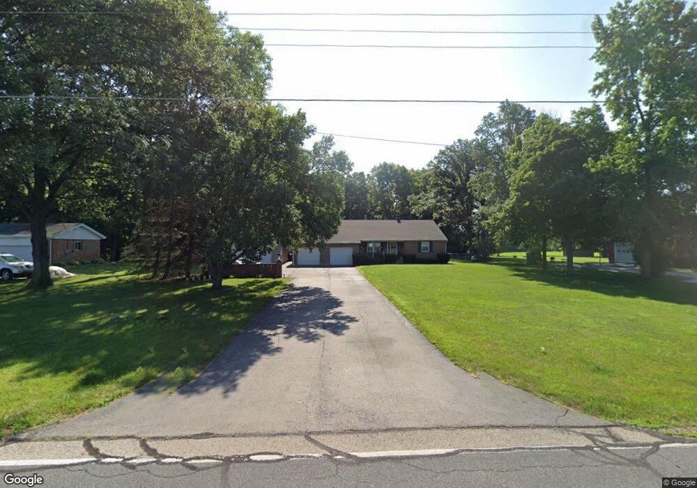
3126 Spence Rd New Carlisle, OH 45344
Estimated Value: $321,000 - $371,000
4
Beds
2
Baths
1,603
Sq Ft
$220/Sq Ft
Est. Value
About This Home
This home is located at 3126 Spence Rd, New Carlisle, OH 45344 and is currently estimated at $351,872, approximately $219 per square foot. 3126 Spence Rd is a home located in Clark County with nearby schools including Northwestern Elementary School and Northwestern Junior/Senior High School.
Ownership History
Date
Name
Owned For
Owner Type
Purchase Details
Closed on
May 6, 2011
Sold by
Bills Paul K and Bills Dionne K
Bought by
Dewitt Dawn L
Current Estimated Value
Home Financials for this Owner
Home Financials are based on the most recent Mortgage that was taken out on this home.
Original Mortgage
$153,506
Outstanding Balance
$106,680
Interest Rate
4.88%
Mortgage Type
FHA
Estimated Equity
$245,192
Purchase Details
Closed on
Jan 21, 2002
Sold by
Furbee Howard R and Furbee Ellen Jo
Bought by
Bills Paul K and Bills Freddie J
Home Financials for this Owner
Home Financials are based on the most recent Mortgage that was taken out on this home.
Original Mortgage
$119,200
Interest Rate
7.16%
Mortgage Type
Purchase Money Mortgage
Purchase Details
Closed on
Mar 14, 2001
Sold by
Furbee Howard R and Furbee Ellen Jo
Bought by
Furbee Jo Ellen and Furbee Howard R
Create a Home Valuation Report for This Property
The Home Valuation Report is an in-depth analysis detailing your home's value as well as a comparison with similar homes in the area
Home Values in the Area
Average Home Value in this Area
Purchase History
| Date | Buyer | Sale Price | Title Company |
|---|---|---|---|
| Dewitt Dawn L | $157,500 | Attorney | |
| Bills Paul K | $149,900 | -- | |
| Furbee Jo Ellen | -- | -- |
Source: Public Records
Mortgage History
| Date | Status | Borrower | Loan Amount |
|---|---|---|---|
| Open | Dewitt Dawn L | $153,506 | |
| Previous Owner | Bills Paul K | $119,200 |
Source: Public Records
Tax History Compared to Growth
Tax History
| Year | Tax Paid | Tax Assessment Tax Assessment Total Assessment is a certain percentage of the fair market value that is determined by local assessors to be the total taxable value of land and additions on the property. | Land | Improvement |
|---|---|---|---|---|
| 2024 | $3,791 | $80,860 | $8,550 | $72,310 |
| 2023 | $3,791 | $80,860 | $8,550 | $72,310 |
| 2022 | $3,893 | $80,860 | $8,550 | $72,310 |
| 2021 | $3,316 | $60,860 | $6,240 | $54,620 |
| 2020 | $3,285 | $60,860 | $6,240 | $54,620 |
| 2019 | $3,317 | $60,860 | $6,240 | $54,620 |
| 2018 | $3,352 | $61,090 | $6,240 | $54,850 |
| 2017 | $3,353 | $61,096 | $6,244 | $54,852 |
| 2016 | $2,948 | $54,765 | $6,244 | $48,521 |
| 2015 | $2,745 | $52,066 | $6,244 | $45,822 |
| 2014 | $2,744 | $52,066 | $6,244 | $45,822 |
| 2013 | $2,725 | $52,066 | $6,244 | $45,822 |
Source: Public Records
Map
Nearby Homes
- 3390 Spence Rd
- 7585 Wrenview Dr
- 3771 Spence Rd
- 7475 Detrick Jordan Pike
- 286 Hampton Trail
- 268 Hampton Trail
- 2430 Myers Rd
- 81 W Clark St
- 00 Folk Ream Rd
- 1 Folk Ream Rd
- 3172 Folk Ream Rd
- 6580 Shaler Dr
- 3961 Shrine Rd
- 6258 Zachary Ave
- 1559 Folk Ream Rd
- 5889 Troy Rd
- 1650 Cranbrook Dr
- 3410 Michael Dr
- 3430 Michael Dr
- 3000-3002 Shrine Rd
- 3142 Spence Rd
- 3108 Spence Rd
- 3158 Spence Rd
- 3078 Spence Rd
- 3056 Spence Rd
- 3184 Spence Rd
- 3201 Spence Rd
- 3208 Spence Rd
- 3030 Spence Rd
- 3012 Spence Rd
- 2988 Spence Rd
- 2970 Spence Rd
- 7888 Sunrise Dr
- 7844 Sunrise Dr
- 7807 Sunrise Dr
- 2954 Spence Rd
- 7820 Sunrise Dr
- 7765 Sunrise Dr
- 3315 Spence Rd
- 2932 Spence Rd