3126 State Route 705 New Weston, OH 45348
Estimated Value: $189,000 - $296,000
4
Beds
2
Baths
1,836
Sq Ft
$139/Sq Ft
Est. Value
About This Home
This home is located at 3126 State Route 705, New Weston, OH 45348 and is currently estimated at $255,262, approximately $139 per square foot. 3126 State Route 705 is a home located in Darke County with nearby schools including St. Henry Elementary School, St. Henry Middle School, and St. Henry High School.
Ownership History
Date
Name
Owned For
Owner Type
Purchase Details
Closed on
Nov 20, 2020
Sold by
Hein Daniel D and Hein Joyce A
Bought by
Hein Scott M and Jutte Rachel M
Current Estimated Value
Home Financials for this Owner
Home Financials are based on the most recent Mortgage that was taken out on this home.
Original Mortgage
$30,000
Outstanding Balance
$16,544
Interest Rate
2.8%
Mortgage Type
New Conventional
Estimated Equity
$238,718
Purchase Details
Closed on
Dec 4, 2018
Sold by
Kunkler Rose Evelyn Le
Bought by
Hein Joyce A and Hein Daniel D
Purchase Details
Closed on
May 7, 2010
Sold by
Kunkler Rose Evelyn
Bought by
Hein Daniel D and Hein Joyce A
Home Financials for this Owner
Home Financials are based on the most recent Mortgage that was taken out on this home.
Original Mortgage
$96,255
Interest Rate
5.16%
Mortgage Type
Future Advance Clause Open End Mortgage
Create a Home Valuation Report for This Property
The Home Valuation Report is an in-depth analysis detailing your home's value as well as a comparison with similar homes in the area
Home Values in the Area
Average Home Value in this Area
Purchase History
| Date | Buyer | Sale Price | Title Company |
|---|---|---|---|
| Hein Scott M | $125,000 | None Available | |
| Hein Joyce A | -- | -- | |
| Hein Daniel D | -- | Attorney |
Source: Public Records
Mortgage History
| Date | Status | Borrower | Loan Amount |
|---|---|---|---|
| Open | Hein Scott M | $30,000 | |
| Previous Owner | Hein Daniel D | $96,255 |
Source: Public Records
Tax History Compared to Growth
Tax History
| Year | Tax Paid | Tax Assessment Tax Assessment Total Assessment is a certain percentage of the fair market value that is determined by local assessors to be the total taxable value of land and additions on the property. | Land | Improvement |
|---|---|---|---|---|
| 2024 | $2,222 | $78,060 | $18,470 | $59,590 |
| 2023 | $2,238 | $78,060 | $18,470 | $59,590 |
| 2022 | $2,432 | $77,560 | $16,270 | $61,290 |
| 2021 | $2,367 | $77,560 | $16,270 | $61,290 |
| 2020 | $2,193 | $70,600 | $16,270 | $54,330 |
| 2019 | $2,001 | $63,510 | $16,270 | $47,240 |
| 2018 | $1,797 | $63,510 | $16,270 | $47,240 |
| 2017 | $1,111 | $63,510 | $16,270 | $47,240 |
| 2016 | $1,079 | $43,600 | $13,230 | $30,370 |
| 2015 | $1,079 | $43,600 | $13,230 | $30,370 |
| 2014 | $1,235 | $47,940 | $13,230 | $34,710 |
| 2013 | $1,302 | $47,660 | $12,950 | $34,710 |
Source: Public Records
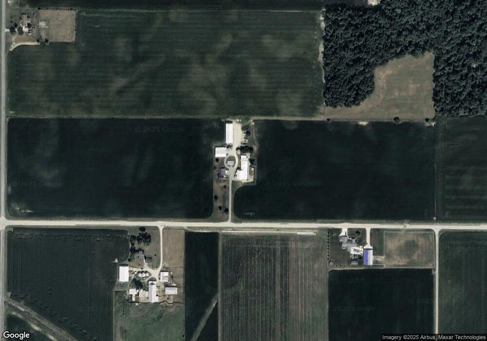
Map
Nearby Homes
- 4475 Ohio 705
- 3709 Rossburg-Lightsville Rd
- 4543 Lange Rd
- 21 E Star Rd
- 0 Ohio 118
- 201 W Wiggs St
- 304 S Wayne St
- 45 Cassella Montezuma Rd
- 63 Cassella-Montezuma Rd
- 3052 State Route 47
- 211 Pearl St
- 309 Smith St
- 5226 Riffle Rd
- 159 Mendenhall Rd
- 158 Mendenhall Rd
- 157 Mendenhall Rd
- 140 Liberty Dr
- 139 Liberty Dr
- 136 Liberty Dr
- 137 Liberty Dr