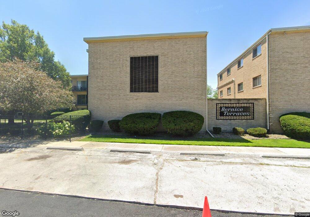
3127 Bernice Rd Unit 31272 Lansing, IL 60438
Estimated Value: $52,000 - $57,128
1
Bed
1
Bath
578
Sq Ft
$94/Sq Ft
Est. Value
About This Home
This home is located at 3127 Bernice Rd Unit 31272, Lansing, IL 60438 and is currently estimated at $54,043, approximately $93 per square foot. 3127 Bernice Rd Unit 31272 is a home located in Cook County with nearby schools including Reavis Elementary School, Memorial Jr High School, and Thornton Fractnl So High School.
Ownership History
Date
Name
Owned For
Owner Type
Purchase Details
Closed on
Aug 26, 2025
Sold by
Westshore Property Holdings Llc
Bought by
Press And Fold Laundry And Dry Cleaning Llc
Current Estimated Value
Purchase Details
Closed on
Jun 15, 2021
Sold by
County Of Cook
Bought by
Westshore Property Holdings Llc
Purchase Details
Closed on
Nov 3, 2003
Sold by
Tectonics Llc
Bought by
Watts Fredrick L
Home Financials for this Owner
Home Financials are based on the most recent Mortgage that was taken out on this home.
Original Mortgage
$55,100
Interest Rate
7.14%
Mortgage Type
Unknown
Create a Home Valuation Report for This Property
The Home Valuation Report is an in-depth analysis detailing your home's value as well as a comparison with similar homes in the area
Home Values in the Area
Average Home Value in this Area
Purchase History
| Date | Buyer | Sale Price | Title Company |
|---|---|---|---|
| Press And Fold Laundry And Dry Cleaning Llc | $52,000 | Fidelity National Title | |
| Westshore Property Holdings Llc | -- | Attorney | |
| Watts Fredrick L | $55,500 | First American |
Source: Public Records
Mortgage History
| Date | Status | Borrower | Loan Amount |
|---|---|---|---|
| Previous Owner | Watts Fredrick L | $55,100 |
Source: Public Records
Tax History
| Year | Tax Paid | Tax Assessment Tax Assessment Total Assessment is a certain percentage of the fair market value that is determined by local assessors to be the total taxable value of land and additions on the property. | Land | Improvement |
|---|---|---|---|---|
| 2025 | $2,372 | $4,904 | $349 | $4,555 |
| 2024 | $2,372 | $4,904 | $349 | $4,555 |
| 2023 | $1,700 | $4,904 | $349 | $4,555 |
| 2022 | $1,700 | $2,617 | $480 | $2,137 |
| 2021 | $1,654 | $2,616 | $479 | $2,137 |
| 2020 | $1,535 | $2,616 | $479 | $2,137 |
| 2019 | $1,904 | $3,345 | $435 | $2,910 |
| 2018 | $1,869 | $3,345 | $435 | $2,910 |
| 2017 | $1,887 | $3,345 | $435 | $2,910 |
| 2016 | $2,570 | $4,700 | $392 | $4,308 |
| 2015 | $2,388 | $4,700 | $392 | $4,308 |
| 2014 | $2,355 | $4,700 | $392 | $4,308 |
| 2013 | $1,570 | $3,488 | $392 | $3,096 |
Source: Public Records
Map
Nearby Homes
- 17423 Walter St
- 17318 Walter St
- 3018 Bernice Rd Unit 205
- 3425 Bernice Ave
- 17303 Chicago Ave
- 17518 Roy St
- 17303 Roy St
- 17552 Roy St
- 17335 Community St
- 17617 Burnham Ave
- 2938 173rd Place
- 17519 Community St
- 17226 Community St
- 17153 Walter St
- 17132 Walter St
- 2937 172nd St
- 17714 Burnham Ave
- 17056 Burnham Ave
- 17057 Park Ave
- 3238 178th St
- 3127 Bernice Rd Unit 31274
- 3127 Bernice Rd Unit 31271
- 3127 Bernice Rd Unit 31276
- 3127 Bernice Rd Unit 31273
- 3127 Bernice Rd Unit 5
- 3127 Bernice Rd Unit 1
- 3127 Bernice Rd Unit 4
- 3133 Bernice Rd Unit 31332
- 3133 Bernice Rd Unit 31333
- 3133 Bernice Rd Unit 31334
- 3133 Bernice Rd Unit 31336
- 3133 Bernice Rd Unit 4
- 3133 Bernice Rd Unit 1
- 3133 Bernice Rd Unit 5
- 3133 Bernice Rd Unit 2
- 3133 Bernice Rd
- 3133 Bernice Rd Unit 6
- 3133 Bernice Rd Unit 3
- 3125 Bernice Rd Unit 3
- 3125 Bernice Rd Unit 31254
Your Personal Tour Guide
Ask me questions while you tour the home.