3127 High Hill Rd SE Port Washington, OH 43837
Estimated Value: $468,000
5
Beds
2
Baths
3,690
Sq Ft
$127/Sq Ft
Est. Value
About This Home
This home is located at 3127 High Hill Rd SE, Port Washington, OH 43837 and is currently estimated at $468,000, approximately $126 per square foot. 3127 High Hill Rd SE is a home located in Tuscarawas County with nearby schools including Port Washington Elementary School, Tuscarawas Middle School, and Indian Valley High School.
Ownership History
Date
Name
Owned For
Owner Type
Purchase Details
Closed on
Oct 14, 2021
Sold by
Sprowl Ronald W and Sprowl Terrie B
Bought by
Sprowl Shawn and Sprowl Tracey
Current Estimated Value
Purchase Details
Closed on
Mar 4, 1997
Sold by
Dodds Lester R
Bought by
Sprowl Ronald W and Sprowl Terrie
Home Financials for this Owner
Home Financials are based on the most recent Mortgage that was taken out on this home.
Original Mortgage
$63,000
Interest Rate
6.75%
Mortgage Type
New Conventional
Create a Home Valuation Report for This Property
The Home Valuation Report is an in-depth analysis detailing your home's value as well as a comparison with similar homes in the area
Home Values in the Area
Average Home Value in this Area
Purchase History
| Date | Buyer | Sale Price | Title Company |
|---|---|---|---|
| Sprowl Shawn | -- | None Available | |
| Sprowl Ronald W | $15,000 | -- |
Source: Public Records
Mortgage History
| Date | Status | Borrower | Loan Amount |
|---|---|---|---|
| Closed | Sprowl Ronald W | $63,000 |
Source: Public Records
Tax History Compared to Growth
Tax History
| Year | Tax Paid | Tax Assessment Tax Assessment Total Assessment is a certain percentage of the fair market value that is determined by local assessors to be the total taxable value of land and additions on the property. | Land | Improvement |
|---|---|---|---|---|
| 2024 | $2,936 | $149,370 | $94,290 | $55,080 |
| 2023 | $2,936 | $420,820 | $263,440 | $157,380 |
| 2022 | $2,503 | $141,383 | $92,204 | $49,179 |
| 2021 | $2,174 | $117,727 | $73,798 | $43,929 |
| 2020 | $2,199 | $117,727 | $73,798 | $43,929 |
| 2019 | $2,212 | $117,727 | $73,798 | $43,929 |
| 2018 | $1,680 | $86,610 | $61,580 | $25,030 |
| 2017 | $1,611 | $86,610 | $61,580 | $25,030 |
| 2016 | $1,693 | $86,610 | $61,580 | $25,030 |
| 2014 | $1,240 | $68,630 | $52,550 | $16,080 |
| 2013 | $1,207 | $68,630 | $52,550 | $16,080 |
Source: Public Records
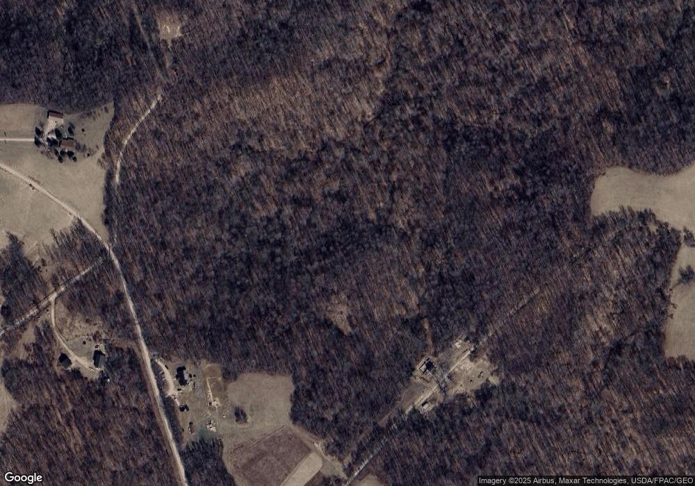
Map
Nearby Homes
- 15216 Grove Rd SW Unit TP142
- 15216 Grove Rd SE
- 5991 B Sandy Ridge Rd SE
- 3653 Turkey Flat Rd SE
- 5991 Sandy Ridge Rd SE
- 18063 Sligo Rd
- 0 Green Rd
- 16066 State Route 258 SW
- 4308 Flat Rd SE
- 0 Masada Ln Unit LotWP001
- 0 Masada Ln
- 0 Broadhead Rd Unit 179 & 180 5154762
- 75959 Vandalia Ln Unit 544
- 75959 Vandalia Ln Unit 32-33-34
- 75959 Vandalia Ln Unit 433 & 434
- 6413 Dague Rd SE
- 74369 Irish Ridge Rd
- 76160 Old Twenty One Rd
- 73353 Birmingham Rd
- 0 Twy Highway 116
- 2588 Bellflower Rd SE
- 16173 Grove Rd SE
- 15839 Grove Rd SE
- 2532 Bellflower Rd SE
- 2468 Bellflower Rd SE
- 16220 Grove Rd SE
- 16329 Grove Rd SE
- 15769 Grove Rd SE
- 2898 Mayflower Rd SE
- 16345 Grove Rd SE
- 15692 Grove Rd SE
- 2931 Phillips Fork Rd SE
- 15674 Grove Rd SE
- 15674 Grove Rd SE
- 3079 Phillips Fork Rd SE
- 2317 Bellflower Rd SE
- 2529 Phillips Fork Rd SE
- 3217 Phillips Fork Rd SE
- 15639 Grove Rd SE
- 15436 Rockville Hill Rd SE