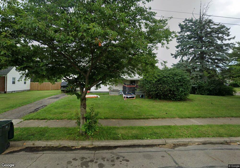
3127 Karl Rd Columbus, OH 43224
North Linden NeighborhoodEstimated Value: $182,981 - $216,000
3
Beds
2
Baths
1,109
Sq Ft
$182/Sq Ft
Est. Value
About This Home
This home is located at 3127 Karl Rd, Columbus, OH 43224 and is currently estimated at $201,745, approximately $181 per square foot. 3127 Karl Rd is a home located in Franklin County with nearby schools including Huy Elementary School, Medina Middle School, and Mifflin High School.
Ownership History
Date
Name
Owned For
Owner Type
Purchase Details
Closed on
Jul 15, 2015
Sold by
Urban Philip and Woods Cove Ii Llc
Bought by
J Pacific Ventures Llc
Current Estimated Value
Purchase Details
Closed on
Jun 30, 2005
Sold by
Mueller Sophia
Bought by
Urban Philip J and Coates Terri L
Create a Home Valuation Report for This Property
The Home Valuation Report is an in-depth analysis detailing your home's value as well as a comparison with similar homes in the area
Home Values in the Area
Average Home Value in this Area
Purchase History
| Date | Buyer | Sale Price | Title Company |
|---|---|---|---|
| J Pacific Ventures Llc | $32,000 | Attorney | |
| Urban Philip J | $103,200 | Metropolita |
Source: Public Records
Tax History Compared to Growth
Tax History
| Year | Tax Paid | Tax Assessment Tax Assessment Total Assessment is a certain percentage of the fair market value that is determined by local assessors to be the total taxable value of land and additions on the property. | Land | Improvement |
|---|---|---|---|---|
| 2024 | $2,356 | $51,420 | $12,180 | $39,240 |
| 2023 | $2,327 | $51,415 | $12,180 | $39,235 |
| 2022 | $1,691 | $31,820 | $8,790 | $23,030 |
| 2021 | $1,694 | $31,820 | $8,790 | $23,030 |
| 2020 | $1,697 | $31,820 | $8,790 | $23,030 |
| 2019 | $1,622 | $26,080 | $7,320 | $18,760 |
| 2018 | $1,497 | $26,080 | $7,320 | $18,760 |
| 2017 | $2,117 | $26,080 | $7,320 | $18,760 |
| 2016 | $2,535 | $23,450 | $3,850 | $19,600 |
| 2015 | $688 | $23,450 | $3,850 | $19,600 |
| 2014 | $1,454 | $23,450 | $3,850 | $19,600 |
| 2013 | $1,062 | $27,580 | $4,515 | $23,065 |
Source: Public Records
Map
Nearby Homes
- 3129 McGuffey Rd
- 3147 Grasmere Ave
- 1285 E North Broadway St
- 3071 Karl Rd
- 3043 McGuffey Rd
- 3107 Hamilton Ave
- 3029 McGuffey Rd
- 1247 Weldon Ave
- 3268 McGuffey Rd
- 2950 Grasmere Ave
- 1212 Abner Ave
- 2913 Gerbert Rd
- 2905 Ontario St
- 1126 Piedmont Rd
- 3056 Medina Ave
- 2899 Howey Rd
- 3134 Medina Ave
- 2888 Howey Rd
- 2860 Grasmere Ave
- 2872 Howey Rd
- 1231 E Broad St
- 1231 E North Broadway St
- 1227 E North Broadway St
- 3128 Karl Rd
- 3114 Karl Rd
- 3113 Karl Rd
- 3126 McGuffey Rd
- 3153 Karl Rd
- 1219 E North Broadway St
- 3120 McGuffey Rd
- 1236 E North Broadway St
- 3107 Karl Rd
- 3152 Karl Rd
- 3106 Karl Rd
- 1228 E North Broadway St
- 3112 McGuffey Rd
- 1273 E North Broadway St
- 3159 Karl Rd
- 1220 E North Broadway St
- 3089 Melva Ave