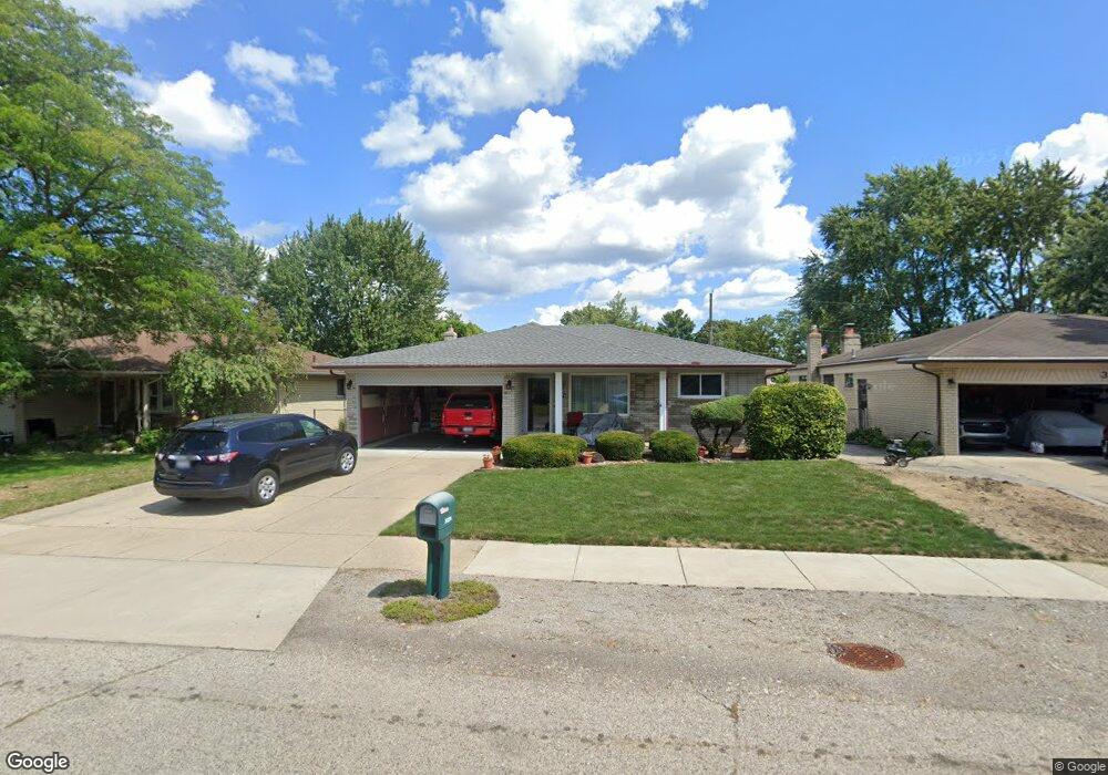
31274 Mc Namee Fraser, MI 48026
Estimated Value: $265,600 - $308,000
3
Beds
2
Baths
1,557
Sq Ft
$184/Sq Ft
Est. Value
About This Home
This home is located at 31274 Mc Namee, Fraser, MI 48026 and is currently estimated at $286,650, approximately $184 per square foot. 31274 Mc Namee is a home located in Macomb County with nearby schools including Mark Twain Elementary School, Richards Middle School, and Fraser High School.
Ownership History
Date
Name
Owned For
Owner Type
Purchase Details
Closed on
May 6, 2003
Sold by
Nancarrow Mary Lynn and Lupo Mary Lynn
Bought by
Nancarrow Robert and Nancarrow Mary Lynn
Current Estimated Value
Create a Home Valuation Report for This Property
The Home Valuation Report is an in-depth analysis detailing your home's value as well as a comparison with similar homes in the area
Home Values in the Area
Average Home Value in this Area
Purchase History
| Date | Buyer | Sale Price | Title Company |
|---|---|---|---|
| Nancarrow Robert | -- | Metropolitan Title Co |
Source: Public Records
Tax History
| Year | Tax Paid | Tax Assessment Tax Assessment Total Assessment is a certain percentage of the fair market value that is determined by local assessors to be the total taxable value of land and additions on the property. | Land | Improvement |
|---|---|---|---|---|
| 2025 | $3,121 | $127,000 | $0 | $0 |
| 2024 | $30 | $118,700 | $0 | $0 |
| 2023 | $2,918 | $107,200 | $0 | $0 |
| 2022 | $2,869 | $92,900 | $0 | $0 |
| 2021 | $2,838 | $89,200 | $0 | $0 |
| 2020 | $2,737 | $83,600 | $0 | $0 |
| 2019 | $3,145 | $73,000 | $0 | $0 |
| 2018 | $3,165 | $67,300 | $0 | $0 |
| 2017 | $2,717 | $69,434 | $12,943 | $56,491 |
| 2016 | $2,595 | $69,413 | $0 | $0 |
| 2015 | -- | $61,765 | $0 | $0 |
| 2013 | $2,205 | $50,909 | $0 | $0 |
| 2011 | -- | $53,442 | $15,138 | $38,304 |
Source: Public Records
Map
Nearby Homes
- 31263 Hayes Rd
- 31869 Grove
- 30776 Ferntree St
- 15218 Canberra St
- 30650 Glenwood Cir
- 30607 Glenwood Cir
- 14627 Masonic Blvd
- 30988 Moroso Dr
- 31077 Shawn Dr
- 31611 Fraser Dr Unit 6
- 30310 Valenti Dr
- 31603 Stricker Dr
- 14108 La Chene Ave
- 15195 La Grande Plaza
- 16572 Rosemary
- 14066 Castle Ave
- 32138 Bradner Dr
- 15180 Raphael Terrace
- 29448 El Dorado Plaza
- 29265 Hayes Rd
