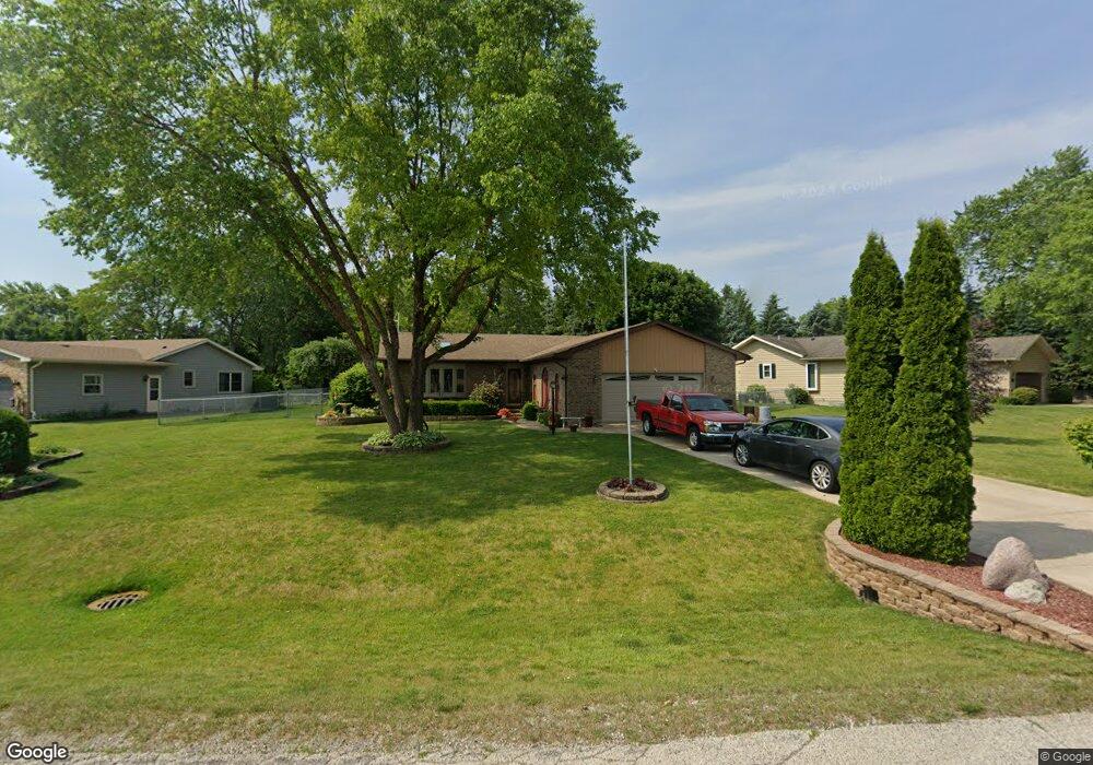
3129 James Ave Winthrop Harbor, IL 60096
Estimated Value: $343,508 - $370,000
4
Beds
3
Baths
1,500
Sq Ft
$241/Sq Ft
Est. Value
About This Home
This home is located at 3129 James Ave, Winthrop Harbor, IL 60096 and is currently estimated at $361,377, approximately $240 per square foot. 3129 James Ave is a home located in Lake County with nearby schools including Westfield School, North Prairie Junior High School, and Zion-Benton Township High School.
Ownership History
Date
Name
Owned For
Owner Type
Purchase Details
Closed on
Jun 30, 2005
Sold by
Zacker Michael R and Zacker Kathleen M
Bought by
Schwartz Robert G and Schwartz Julia E
Current Estimated Value
Home Financials for this Owner
Home Financials are based on the most recent Mortgage that was taken out on this home.
Original Mortgage
$145,000
Outstanding Balance
$75,936
Interest Rate
5.71%
Mortgage Type
Purchase Money Mortgage
Estimated Equity
$285,441
Create a Home Valuation Report for This Property
The Home Valuation Report is an in-depth analysis detailing your home's value as well as a comparison with similar homes in the area
Home Values in the Area
Average Home Value in this Area
Purchase History
| Date | Buyer | Sale Price | Title Company |
|---|---|---|---|
| Schwartz Robert G | $228,000 | First American Title |
Source: Public Records
Mortgage History
| Date | Status | Borrower | Loan Amount |
|---|---|---|---|
| Open | Schwartz Robert G | $145,000 |
Source: Public Records
Tax History
| Year | Tax Paid | Tax Assessment Tax Assessment Total Assessment is a certain percentage of the fair market value that is determined by local assessors to be the total taxable value of land and additions on the property. | Land | Improvement |
|---|---|---|---|---|
| 2024 | $7,290 | $87,174 | $10,680 | $76,494 |
| 2023 | $7,045 | $76,012 | $10,310 | $65,702 |
| 2022 | $7,045 | $70,370 | $10,057 | $60,313 |
| 2021 | $6,827 | $65,253 | $9,801 | $55,452 |
| 2020 | $6,616 | $62,270 | $9,353 | $52,917 |
| 2019 | $6,450 | $59,080 | $8,874 | $50,206 |
| 2018 | $7,006 | $63,417 | $10,801 | $52,616 |
| 2017 | $6,951 | $59,659 | $10,161 | $49,498 |
| 2016 | $6,766 | $56,796 | $9,673 | $47,123 |
| 2015 | $6,640 | $52,087 | $8,871 | $43,216 |
| 2014 | $6,802 | $55,105 | $12,110 | $42,995 |
| 2012 | $6,699 | $57,263 | $12,584 | $44,679 |
Source: Public Records
Map
Nearby Homes
- 440 Megan Place
- 809 Thompson Ave
- 150 Old Darby Ln
- 214 Garnett Ave
- 802 Kirkwood Ave
- 3106 13th St
- 732 Whitney Ave
- 0 13th St Unit MRD12569828
- 1636 Deerpath Cir
- 2205 13th St
- 0 14th St Unit MRD12502206
- 210 Oak Ln
- 1808 13th St
- 1234 Fulton Ave
- 3781 124th St
- 1405 Lewis Ave
- 11778 W 12th St
- 1400 Sheridan Rd
- Lt0 39th Ave
- 1715 14th St
- 3135 James Ave
- 3117 James Ave
- 628 Roberts Rd
- 42797 N Berrong Ct
- 700 Roberts Rd
- 3130 James Ave
- 3118 James Ave
- 3126 James Ave
- 3138 James Ave
- 3114 James Ave
- 618 Roberts Rd
- 42749 N Berrong Ct
- 42749 Berrong Ave
- 42845 N Berrong Ct
- 629 Roberts Rd
- 526 Judith Ct
- 712 Roberts Rd
- 527 Judith Ct
- 610 Roberts Rd
- 3030 James Ave
Your Personal Tour Guide
Ask me questions while you tour the home.