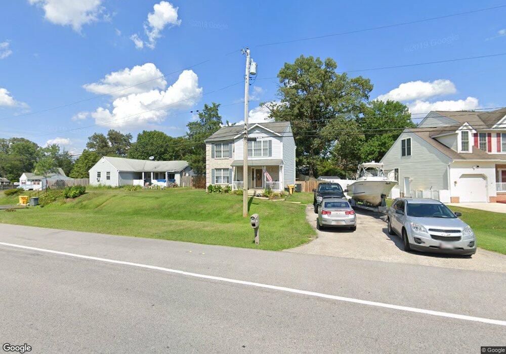
313 Andover Rd Glen Burnie, MD 21061
Estimated Value: $435,000 - $515,000
--
Bed
3
Baths
1,512
Sq Ft
$310/Sq Ft
Est. Value
About This Home
This home is located at 313 Andover Rd, Glen Burnie, MD 21061 and is currently estimated at $468,586, approximately $309 per square foot. 313 Andover Rd is a home located in Anne Arundel County with nearby schools including Linthicum Elementary School, Lindale Middle School, and North County High School.
Ownership History
Date
Name
Owned For
Owner Type
Purchase Details
Closed on
May 25, 2004
Sold by
Aye Titus T
Bought by
Anderson Keith and Anderson Nicole
Current Estimated Value
Purchase Details
Closed on
Dec 1, 1995
Sold by
Ameri & Star Homes Inc
Bought by
Aye Titus T and Aye Chun C
Purchase Details
Closed on
Feb 22, 1995
Sold by
Huttinger Theodore
Bought by
Ameri Star Homes Inc
Home Financials for this Owner
Home Financials are based on the most recent Mortgage that was taken out on this home.
Original Mortgage
$198,000
Interest Rate
9.17%
Create a Home Valuation Report for This Property
The Home Valuation Report is an in-depth analysis detailing your home's value as well as a comparison with similar homes in the area
Home Values in the Area
Average Home Value in this Area
Purchase History
| Date | Buyer | Sale Price | Title Company |
|---|---|---|---|
| Anderson Keith | $225,000 | -- | |
| Aye Titus T | $135,900 | -- | |
| Ameri Star Homes Inc | $57,000 | -- |
Source: Public Records
Mortgage History
| Date | Status | Borrower | Loan Amount |
|---|---|---|---|
| Previous Owner | Ameri Star Homes Inc | $198,000 | |
| Closed | Aye Titus T | -- |
Source: Public Records
Tax History Compared to Growth
Tax History
| Year | Tax Paid | Tax Assessment Tax Assessment Total Assessment is a certain percentage of the fair market value that is determined by local assessors to be the total taxable value of land and additions on the property. | Land | Improvement |
|---|---|---|---|---|
| 2025 | $2,880 | $329,500 | $146,300 | $183,200 |
| 2024 | $2,880 | $312,500 | $0 | $0 |
| 2023 | $2,313 | $295,500 | $0 | $0 |
| 2022 | $2,592 | $278,500 | $126,300 | $152,200 |
| 2021 | $5,089 | $268,533 | $0 | $0 |
| 2020 | $2,457 | $258,567 | $0 | $0 |
| 2019 | $2,413 | $248,600 | $116,300 | $132,300 |
| 2018 | $2,521 | $248,600 | $116,300 | $132,300 |
| 2017 | $2,290 | $248,600 | $0 | $0 |
| 2016 | -- | $265,900 | $0 | $0 |
| 2015 | -- | $248,900 | $0 | $0 |
| 2014 | -- | $231,900 | $0 | $0 |
Source: Public Records
Map
Nearby Homes
- 123 Forestdale Ave
- 133 Glendale Ave
- 237 Poplar Ave
- 220 Poplar Ave
- 52 Mapledale Ave
- 57 Mapledale Ave
- 33 Mapledale Ave
- 100 Oak Ave
- 401 Forest View Rd
- 104 1st Ave W
- 105 1st Ave W
- 104 Elm Ave
- 406 Broadview Blvd N
- 400 Broadview Blvd N
- 6439 Wilben Rd
- 527 Forest View Rd
- 112 S Camp Meade Rd
- 536 Forest View Rd
- 296 Church Cir
- 331 E Maple Rd
- 315 Andover Rd
- 122 Forestdale Ave
- 107 Laurel Ave
- 320 Andover Rd
- 120 Forestdale Ave
- 105 Laurel Ave
- 118 Forestdale Ave
- 103 Laurel Ave
- 127 Forestdale Ave
- 106 Laurel Ave
- 116 Forestdale Ave
- 121 Forestdale Ave
- 1205 Lotus Ave
- 119 Forestdale Ave
- 114 Forestdale Ave
- 108 Laurel Ave
- 101 Laurel Ave
- 117 Forestdale Ave
- 1203 Lotus Ave
- 114A Forestdale Ave