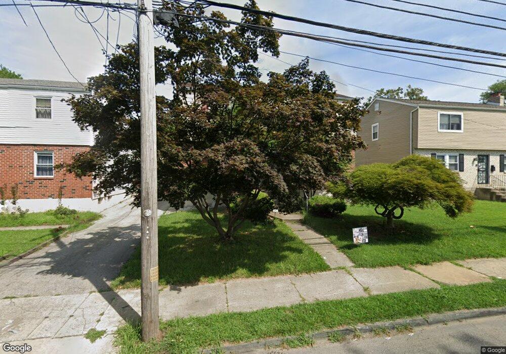
313 Baily Rd Lansdowne, PA 19050
Estimated Value: $295,736 - $327,000
3
Beds
2
Baths
1,935
Sq Ft
$160/Sq Ft
Est. Value
About This Home
This home is located at 313 Baily Rd, Lansdowne, PA 19050 and is currently estimated at $310,434, approximately $160 per square foot. 313 Baily Rd is a home located in Delaware County with nearby schools including Ardmore Avenue School, Penn Wood Middle School, and Penn Wood High School - Cypress Street Campus.
Ownership History
Date
Name
Owned For
Owner Type
Purchase Details
Closed on
Jun 19, 2014
Sold by
Noel Martime Ann
Bought by
Tore Properties Llc
Current Estimated Value
Purchase Details
Closed on
Jan 23, 2012
Sold by
Noel Martine Anne and Noel Karen Denise
Bought by
Noel Martine Anne
Purchase Details
Closed on
Jul 12, 2006
Sold by
Noel Edwidge and Estate Of Bernadette Noel
Bought by
Noel Martine Ann and Noel Karen Denise
Create a Home Valuation Report for This Property
The Home Valuation Report is an in-depth analysis detailing your home's value as well as a comparison with similar homes in the area
Home Values in the Area
Average Home Value in this Area
Purchase History
| Date | Buyer | Sale Price | Title Company |
|---|---|---|---|
| Tore Properties Llc | $42,846 | None Available | |
| Noel Martine Anne | -- | None Available | |
| Noel Martine Ann | -- | None Available |
Source: Public Records
Tax History
| Year | Tax Paid | Tax Assessment Tax Assessment Total Assessment is a certain percentage of the fair market value that is determined by local assessors to be the total taxable value of land and additions on the property. | Land | Improvement |
|---|---|---|---|---|
| 2025 | $6,516 | $152,600 | $27,810 | $124,790 |
| 2024 | $6,516 | $152,600 | $27,810 | $124,790 |
| 2023 | $5,918 | $152,600 | $27,810 | $124,790 |
| 2022 | $5,643 | $152,600 | $27,810 | $124,790 |
| 2021 | $8,533 | $152,600 | $27,810 | $124,790 |
| 2020 | $4,658 | $74,580 | $24,610 | $49,970 |
| 2019 | $4,576 | $74,580 | $24,610 | $49,970 |
| 2018 | $4,512 | $74,580 | $0 | $0 |
| 2017 | $5,020 | $74,580 | $0 | $0 |
| 2016 | $418 | $84,750 | $0 | $0 |
| 2015 | $475 | $104,410 | $0 | $0 |
| 2014 | $585 | $104,410 | $0 | $0 |
Source: Public Records
Map
Nearby Homes
- 137 Elder Ave
- 408 S Union Ave
- 192 Fairview Ave
- 103 Lincoln Ave
- 622 Yeadon Ave
- 116 Bartram Ave
- 442 Church Ln
- 30 E Providence Rd
- 438 Church Ln
- 436 Church Ln
- 702 Cedar Ave
- 105 Nyack Ave
- 46 S Maple Ave
- 734 Bullock Ave
- 401 Holly Rd
- 1339 Park Ln
- 22 Lexington Ave
- 1300 Wycombe Ave
- 1246 Wycombe Ave
- 417 Laurel Rd
Your Personal Tour Guide
Ask me questions while you tour the home.