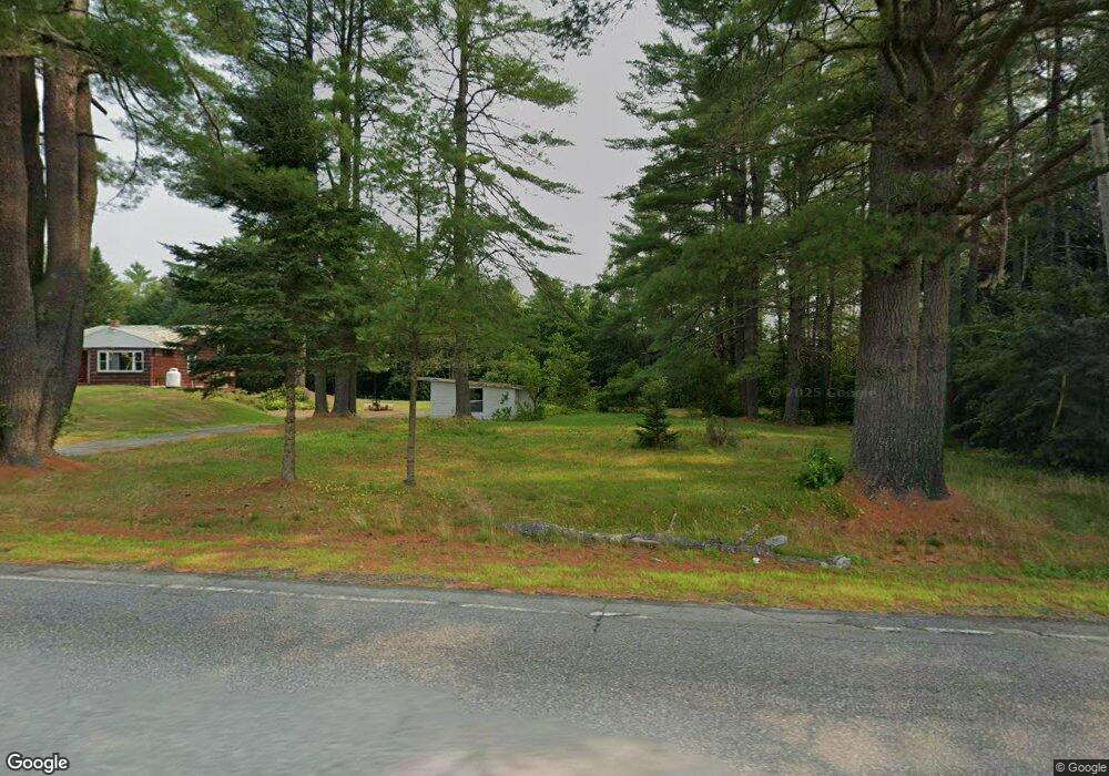
313 Bog Rd New Portland, ME 04961
Estimated Value: $240,886 - $257,000
4
Beds
2
Baths
1,280
Sq Ft
$196/Sq Ft
Est. Value
About This Home
This home is located at 313 Bog Rd, New Portland, ME 04961 and is currently estimated at $250,472, approximately $195 per square foot. 313 Bog Rd is a home located in Somerset County.
Ownership History
Date
Name
Owned For
Owner Type
Purchase Details
Closed on
Dec 23, 2021
Sold by
Cupples Carol and Cupples Garrison E
Bought by
Ross Leah
Current Estimated Value
Home Financials for this Owner
Home Financials are based on the most recent Mortgage that was taken out on this home.
Original Mortgage
$88,383
Outstanding Balance
$81,289
Interest Rate
3.11%
Mortgage Type
Purchase Money Mortgage
Estimated Equity
$169,183
Purchase Details
Closed on
Jun 25, 2018
Sold by
Cupples Garrison E and Cupples Carol
Bought by
Nickinello Kimberly M and Nickinello Jeffrey J
Create a Home Valuation Report for This Property
The Home Valuation Report is an in-depth analysis detailing your home's value as well as a comparison with similar homes in the area
Home Values in the Area
Average Home Value in this Area
Purchase History
| Date | Buyer | Sale Price | Title Company |
|---|---|---|---|
| Ross Leah | -- | None Available | |
| Nickinello Kimberly M | -- | -- |
Source: Public Records
Mortgage History
| Date | Status | Borrower | Loan Amount |
|---|---|---|---|
| Open | Ross Leah | $88,383 |
Source: Public Records
Tax History Compared to Growth
Tax History
| Year | Tax Paid | Tax Assessment Tax Assessment Total Assessment is a certain percentage of the fair market value that is determined by local assessors to be the total taxable value of land and additions on the property. | Land | Improvement |
|---|---|---|---|---|
| 2024 | $2,387 | $169,300 | $39,700 | $129,600 |
| 2023 | $2,244 | $162,600 | $33,000 | $129,600 |
| 2022 | $2,254 | $152,300 | $33,000 | $119,300 |
| 2021 | $2,575 | $120,900 | $25,400 | $95,500 |
| 2020 | $2,781 | $120,900 | $25,400 | $95,500 |
| 2019 | $2,309 | $120,900 | $25,400 | $95,500 |
| 2018 | $2,246 | $124,100 | $31,400 | $92,700 |
| 2017 | $2,221 | $124,100 | $31,400 | $92,700 |
| 2016 | $2,143 | $119,700 | $29,400 | $90,300 |
| 2015 | $2,035 | $119,700 | $29,400 | $90,300 |
| 2014 | $2,018 | $118,700 | $29,400 | $89,300 |
| 2013 | $1,983 | $115,300 | $23,400 | $91,900 |
Source: Public Records
Map
Nearby Homes
- 176 Long Falls Dam Rd
- 205 Long Falls Dam Rd
- M12 Lot 5 22
- 320 School St
- 307 Gilman Pond Rd
- 28 Long Falls Dam Rd
- 22 Long Falls Dam Rd
- 2401 Long Falls Dam Rd
- 283 Meadow Brook Rd
- 56 School St
- 461 Long Falls Dam Rd
- Lot 76.3 23 Acres Off Long Falls Dam Rd
- 0 River Rd Unit 1621274
- 1 Katie Crotch Rd
- 18 Pinkham Rd
- 301 Carrabassett Rd
- 130 Bennett Hill Rd
- 370 New Portland Hill Rd
- 42 43 47 & 49 River Rd
- 42 43 47 & 49 River Rd
- 40 Gilman Pond Rd
- 330 Bog Rd
- 24 Gilman Pond Rd
- 6 Airport Rd
- 39 Millay Hill
- 0 Millay Hill Rd Unit 819453
- 0 Millay Hill Rd Unit 819448
- 0 Millay Hill Road (Discontinued Unit 988385
- 0 Millay Hill Rd Unit 1095050
- 0 Millay Hill Rd Unit 1113956
- 0 Millay Hill Rd Unit 1113981
- 78 Airport Rd
- 227A Bog Rd
- 227 Bog Rd
- 128 Gilman Pond Rd
- 203 Bog Rd
- 6 Pines Dr
- 183 Bog Rd
- 3 Millay Hill Rd
- 197 Bog Rd