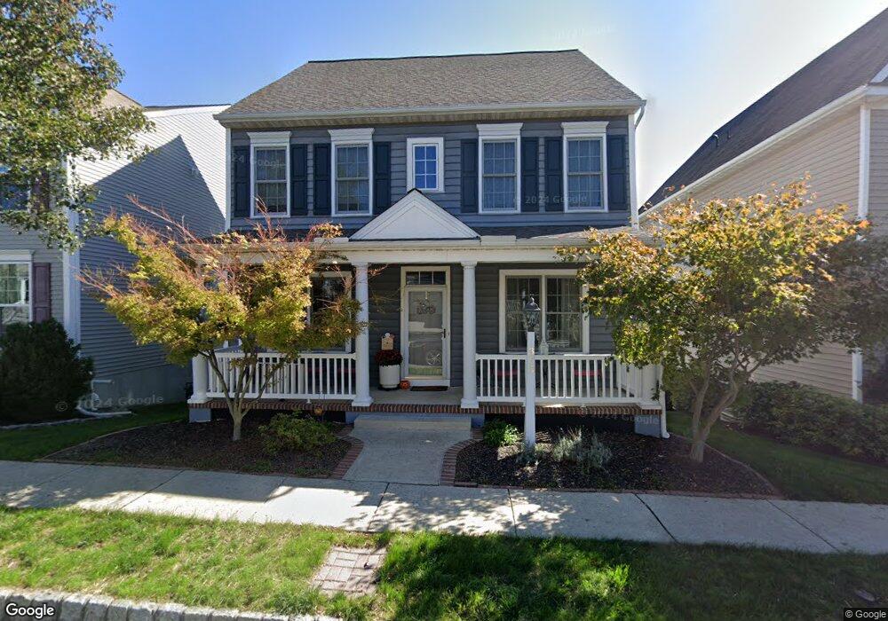
313 Brittany Ln Mount Joy, PA 17552
Estimated Value: $401,000 - $475,000
3
Beds
3
Baths
2,340
Sq Ft
$188/Sq Ft
Est. Value
About This Home
This home is located at 313 Brittany Ln, Mount Joy, PA 17552 and is currently estimated at $439,327, approximately $187 per square foot. 313 Brittany Ln is a home located in Lancaster County with nearby schools including Donegal Intermediate School and Donegal High School.
Ownership History
Date
Name
Owned For
Owner Type
Purchase Details
Closed on
Dec 8, 2006
Sold by
Charter Homes At Florin Hill Inc
Bought by
Scordo Michael J and Scordo Nicole L
Current Estimated Value
Home Financials for this Owner
Home Financials are based on the most recent Mortgage that was taken out on this home.
Original Mortgage
$223,500
Outstanding Balance
$133,922
Interest Rate
6.35%
Mortgage Type
Purchase Money Mortgage
Estimated Equity
$305,405
Create a Home Valuation Report for This Property
The Home Valuation Report is an in-depth analysis detailing your home's value as well as a comparison with similar homes in the area
Home Values in the Area
Average Home Value in this Area
Purchase History
| Date | Buyer | Sale Price | Title Company |
|---|---|---|---|
| Scordo Michael J | $285,686 | None Available |
Source: Public Records
Mortgage History
| Date | Status | Borrower | Loan Amount |
|---|---|---|---|
| Open | Scordo Michael J | $223,500 |
Source: Public Records
Tax History Compared to Growth
Tax History
| Year | Tax Paid | Tax Assessment Tax Assessment Total Assessment is a certain percentage of the fair market value that is determined by local assessors to be the total taxable value of land and additions on the property. | Land | Improvement |
|---|---|---|---|---|
| 2025 | $7,229 | $270,200 | -- | $270,200 |
| 2024 | $7,229 | $270,200 | -- | $270,200 |
| 2023 | $7,130 | $270,200 | $0 | $270,200 |
| 2022 | $7,019 | $270,200 | $0 | $270,200 |
| 2021 | $6,832 | $270,200 | $0 | $270,200 |
| 2020 | $6,832 | $270,200 | $0 | $270,200 |
| 2019 | $6,710 | $270,200 | $0 | $270,200 |
| 2018 | $4,780 | $268,600 | $0 | $268,600 |
| 2017 | $7,314 | $235,100 | $0 | $235,100 |
| 2016 | $7,314 | $235,100 | $0 | $235,100 |
| 2015 | $2,032 | $235,100 | $0 | $235,100 |
| 2014 | $5,247 | $244,100 | $0 | $244,100 |
Source: Public Records
Map
Nearby Homes
- Carter Plan at Florin Hill - Single Family
- Dundee Plan at Florin Hill - Single Family
- Marlow Plan at Florin Hill - Single Family
- Elgin Plan at Florin Hill - Single Family
- Andover Plan at Florin Hill - Single Family
- Anders Plan at Florin Hill - Single Family
- Darby Plan at Florin Hill - Single Family
- Arundel Plan at Florin Hill - Single Family
- Bromley Plan at Florin Hill - Single Family
- Helston Plan at Florin Hill - Single Family
- 202 Alden St Unit 198
- 104 Merchant Ave Unit ANDOVER
- 104 Merchant Ave Unit MARLOW
- 104 Merchant Ave Unit ELGIN
- 104 Merchant Ave Unit DUNDEE
- 104 Merchant Ave Unit ANDERS
- 104 Merchant Ave Unit ARUNDEL
- 104 Merchant Ave Unit CARTER
- 104 Merchant Ave Unit HELSTON
- 104 Merchant Ave Unit BROMLEY
- 315 Brittany Ln
- 315 Brittany Ln Unit 22
- 311 Brittany Ln
- 309 Brittany Ln
- 317 Brittany Ln Unit 23
- AV Brittany Ln
- CO Brittany Ln
- ST Brittany Ln
- ST Brittany Ln Unit TBB
- AV Brittany Ln Unit TBB
- CO Brittany Ln Unit TBB
- 310 Witwer Way
- 310 Witwer Way Unit 33
- 312 Witwer Way
- 312 Witwer Way Unit 32
- 308 Witwer Way
- 319 Brittany Ln
- 314 Witwer Way
- 314 Witwer Way Unit 31
- 306 Witwer Way