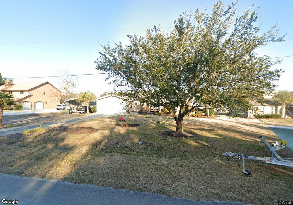
313 Brook Ln Newport, NC 28570
Estimated Value: $472,000 - $822,160
4
Beds
3
Baths
1,764
Sq Ft
$386/Sq Ft
Est. Value
About This Home
This home is located at 313 Brook Ln, Newport, NC 28570 and is currently estimated at $681,040, approximately $386 per square foot. 313 Brook Ln is a home located in Carteret County with nearby schools including Bogue Sound Elementary School, Broad Creek Middle School, and Croatan High School.
Ownership History
Date
Name
Owned For
Owner Type
Purchase Details
Closed on
Aug 4, 2021
Sold by
Honeycutt Elaine M
Bought by
C E E Properties Llc
Current Estimated Value
Home Financials for this Owner
Home Financials are based on the most recent Mortgage that was taken out on this home.
Original Mortgage
$750,000
Outstanding Balance
$618,587
Interest Rate
2.1%
Estimated Equity
$62,453
Purchase Details
Closed on
May 12, 2004
Create a Home Valuation Report for This Property
The Home Valuation Report is an in-depth analysis detailing your home's value as well as a comparison with similar homes in the area
Home Values in the Area
Average Home Value in this Area
Purchase History
| Date | Buyer | Sale Price | Title Company |
|---|---|---|---|
| C E E Properties Llc | -- | White And Allen Pa | |
| -- | $325,000 | -- |
Source: Public Records
Mortgage History
| Date | Status | Borrower | Loan Amount |
|---|---|---|---|
| Open | C E E Properties Llc | $750,000 |
Source: Public Records
Tax History
| Year | Tax Paid | Tax Assessment Tax Assessment Total Assessment is a certain percentage of the fair market value that is determined by local assessors to be the total taxable value of land and additions on the property. | Land | Improvement |
|---|---|---|---|---|
| 2025 | $2,541 | $800,934 | $358,986 | $441,948 |
| 2024 | $2,029 | $426,776 | $207,552 | $219,224 |
| 2023 | $2,107 | $427,631 | $207,552 | $220,079 |
| 2022 | $2,064 | $427,631 | $207,552 | $220,079 |
| 2021 | $0 | $427,631 | $207,552 | $220,079 |
| 2020 | $1,715 | $427,631 | $207,552 | $220,079 |
| 2019 | $1,806 | $474,325 | $239,982 | $234,343 |
| 2017 | $1,806 | $474,325 | $239,982 | $234,343 |
| 2016 | $1,806 | $474,325 | $239,982 | $234,343 |
| 2015 | $1,923 | $474,325 | $239,982 | $234,343 |
| 2014 | $1,934 | $526,161 | $332,748 | $193,413 |
Source: Public Records
Map
Nearby Homes
Your Personal Tour Guide
Ask me questions while you tour the home.