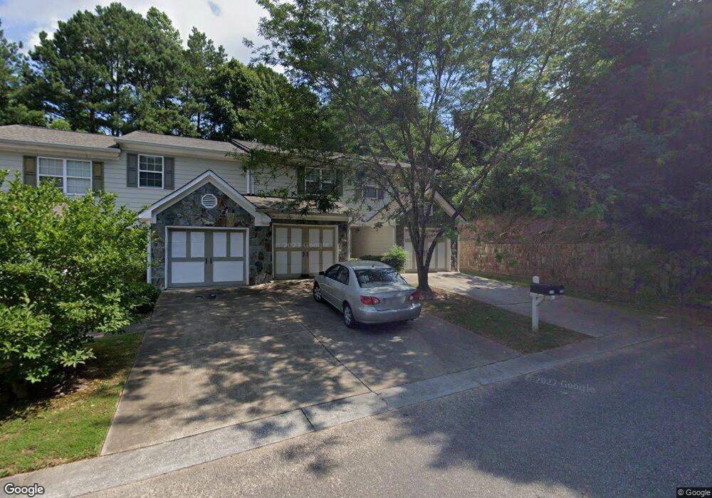
313 Brookside Way Unit 313 Canton, GA 30114
New Town NeighborhoodEstimated Value: $261,000 - $275,506
2
Beds
3
Baths
1,192
Sq Ft
$225/Sq Ft
Est. Value
About This Home
This home is located at 313 Brookside Way Unit 313, Canton, GA 30114 and is currently estimated at $268,253, approximately $225 per square foot. 313 Brookside Way Unit 313 is a home located in Cherokee County with nearby schools including R. M. Moore Elementary School, Teasley Middle School, and Cherokee High School.
Ownership History
Date
Name
Owned For
Owner Type
Purchase Details
Closed on
Aug 18, 2022
Sold by
Page Jason Nathaniel
Bought by
Maricar Sherine Idris
Current Estimated Value
Home Financials for this Owner
Home Financials are based on the most recent Mortgage that was taken out on this home.
Original Mortgage
$235,653
Outstanding Balance
$227,106
Interest Rate
6.6%
Mortgage Type
FHA
Estimated Equity
$41,147
Purchase Details
Closed on
Apr 9, 2020
Sold by
Earles Leslie
Bought by
Page Jason
Home Financials for this Owner
Home Financials are based on the most recent Mortgage that was taken out on this home.
Original Mortgage
$155,705
Interest Rate
3.3%
Mortgage Type
New Conventional
Purchase Details
Closed on
Oct 28, 2008
Sold by
Brookside Holdings Llc
Bought by
Earles Leslie
Home Financials for this Owner
Home Financials are based on the most recent Mortgage that was taken out on this home.
Original Mortgage
$98,204
Interest Rate
6.11%
Mortgage Type
New Conventional
Create a Home Valuation Report for This Property
The Home Valuation Report is an in-depth analysis detailing your home's value as well as a comparison with similar homes in the area
Home Values in the Area
Average Home Value in this Area
Purchase History
| Date | Buyer | Sale Price | Title Company |
|---|---|---|---|
| Maricar Sherine Idris | $240,000 | -- | |
| Page Jason | $163,900 | -- | |
| Earles Leslie | $99,500 | -- |
Source: Public Records
Mortgage History
| Date | Status | Borrower | Loan Amount |
|---|---|---|---|
| Open | Maricar Sherine Idris | $235,653 | |
| Previous Owner | Page Jason | $155,705 | |
| Previous Owner | Earles Leslie | $98,204 |
Source: Public Records
Tax History Compared to Growth
Tax History
| Year | Tax Paid | Tax Assessment Tax Assessment Total Assessment is a certain percentage of the fair market value that is determined by local assessors to be the total taxable value of land and additions on the property. | Land | Improvement |
|---|---|---|---|---|
| 2024 | $2,619 | $98,516 | $18,000 | $80,516 |
| 2023 | $2,565 | $98,528 | $18,000 | $80,528 |
| 2022 | $1,997 | $69,580 | $9,600 | $59,980 |
| 2021 | $1,822 | $59,752 | $9,600 | $50,152 |
| 2020 | $1,544 | $54,764 | $9,600 | $45,164 |
| 2019 | $1,424 | $50,000 | $9,600 | $40,400 |
| 2018 | $1,344 | $46,600 | $8,000 | $38,600 |
| 2017 | $990 | $109,100 | $8,000 | $35,640 |
| 2016 | $990 | $102,700 | $8,000 | $33,080 |
| 2015 | $785 | $82,100 | $5,600 | $27,240 |
| 2014 | $959 | $79,700 | $5,600 | $26,280 |
Source: Public Records
Map
Nearby Homes
- 220 Riverstone Place
- 257 Riverstone Place Unit 55
- 619 Elmwood St
- 213 Riverstone Commons Cir
- 212 Riverstone Commons Cir
- 6 Lots Riverstone Commons Cir
- 621 Elmwood St
- 540 Hospital Rd
- 700 Hospital Rd
- 61 Daisy Cir
- 100 Daisy Cir
- 70 Daisy Cir
- 80 Daisy Cir
- 560 Waleska Rd
- 550 Waleska Rd
- 131 Riverwatch Ct
- 0 Lake St Unit 10599928
- 311 Brookside Way
- 311 Brookside Way Unit 311
- 311 Brookside Way
- 309 Brookside Way
- 313 Brookside Way
- 307 Brookside Way
- 307 Brookside Way Unit 307
- 305 Brookside Way
- 305 Brookside Way Unit 305
- 303 Brookside Way
- 301 Brookside Way
- 301 Brookside Way Unit 301
- 315 Brookside Way
- 209 Riverstone Place
- 317 Brookside Way
- 207 Riverstone Place
- 211 Riverstone Place
- 211 Riverstone Place Unit 211
- 205 Riverstone Place Unit 84
- 205 Riverstone Place Unit 1