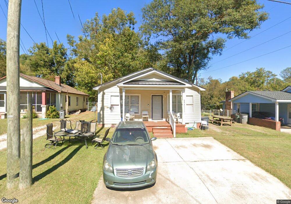
313 Brown St Lagrange, GA 30241
Estimated Value: $102,000 - $140,208
About This Home
This home is located at 313 Brown St, Lagrange, GA 30241 and is currently estimated at $122,802, approximately $99 per square foot. 313 Brown St is a home located in Troup County with nearby schools including Callaway Elementary School, Hogansville Elementary School, and Callaway Middle School.
Ownership History
We collect this data history from publicly available records. To have your information removed, we recommend requesting removal directly through your county’s website.
Purchase Details
Home Financials for this Owner
Home Financials are based on the most recent Mortgage that was taken out on this home.Purchase Details
Purchase Details
Purchase Details
Purchase Details
Purchase Details
Purchase Details
Purchase Details
Purchase History
We collect this data history from publicly available records. To have your information removed, we recommend requesting removal directly through your county’s website.
| Date | Buyer | Sale Price | Title Company |
|---|---|---|---|
| $120,000 | -- | ||
| -- | -- | ||
| $6,000 | -- | ||
| $6,000 | -- | ||
| $20,000 | -- | ||
| -- | -- | ||
| -- | -- | ||
| $12,000 | -- | ||
| -- | -- |
Mortgage History
We collect this data history from publicly available records. To have your information removed, we recommend requesting removal directly through your county’s website.
| Date | Status | Borrower | Loan Amount |
|---|---|---|---|
| Open | $117,817 |
Tax History
We collect this data history from publicly available records. To have your information removed, we recommend requesting removal directly through your county’s website.
| Year | Tax Paid | Tax Assessment Tax Assessment Total Assessment is a certain percentage of the fair market value that is determined by local assessors to be the total taxable value of land and additions on the property. | Land | Improvement |
|---|---|---|---|---|
| 2025 | $948 | $34,760 | $3,200 | $31,560 |
| 2024 | $867 | $31,800 | $3,200 | $28,600 |
| 2023 | $607 | $22,240 | $3,200 | $19,040 |
| 2022 | $589 | $21,120 | $3,200 | $17,920 |
| 2021 | $508 | $16,840 | $1,920 | $14,920 |
| 2020 | $508 | $16,840 | $1,920 | $14,920 |
| 2019 | $455 | $15,080 | $1,800 | $13,280 |
| 2018 | $455 | $15,080 | $1,800 | $13,280 |
| 2017 | $455 | $15,080 | $1,800 | $13,280 |
| 2016 | $448 | $14,860 | $1,800 | $13,060 |
| 2015 | $453 | $14,981 | $1,921 | $13,060 |
| 2014 | $414 | $13,675 | $1,921 | $11,754 |
| 2013 | -- | $14,676 | $1,921 | $12,755 |
Map
- 0 Brown St Unit 10550761
- 0 Brown St Unit 10550754
- 626 Smoot St
- 510 Smoot St
- 200 Mccall St
- 203 Revis St
- 205 Revis St
- 0 Burr St
- 306 Burr St
- 105 Dix St
- 0 E Fendig St
- 113 E Fendig St
- 209 Dix St
- 720 Glenn Robertson Dr
- 0 Locust St
- 901 Whiteline St
- 203 Fannin St
- 747 Matthews St
- 303 E Mulberry St
- 0 Kelley St Unit 10550311
Ask me questions while you tour the home.