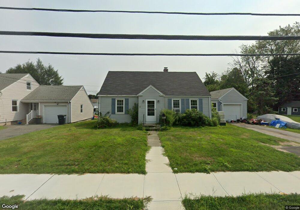
313 Burncoat St Worcester, MA 01606
Burncoat NeighborhoodEstimated Value: $336,000 - $360,000
1
Bed
1
Bath
1,129
Sq Ft
$310/Sq Ft
Est. Value
About This Home
This home is located at 313 Burncoat St, Worcester, MA 01606 and is currently estimated at $350,190, approximately $310 per square foot. 313 Burncoat St is a home located in Worcester County with nearby schools including Jacob Hiatt Magnet School, Chandler Magnet, and Thorndyke Road School.
Ownership History
Date
Name
Owned For
Owner Type
Purchase Details
Closed on
Oct 23, 2019
Sold by
Barry Thomas A and Barry Frances M
Bought by
Bear Luna Rt
Current Estimated Value
Purchase Details
Closed on
Jun 26, 2013
Sold by
Barry Thomas A
Bought by
Barry Thomas A and Barry Frances M
Purchase Details
Closed on
Sep 15, 1987
Sold by
Erickson Roland A
Bought by
Barry B H
Create a Home Valuation Report for This Property
The Home Valuation Report is an in-depth analysis detailing your home's value as well as a comparison with similar homes in the area
Home Values in the Area
Average Home Value in this Area
Purchase History
| Date | Buyer | Sale Price | Title Company |
|---|---|---|---|
| Bear Luna Rt | -- | -- | |
| Barry Thomas A | -- | -- | |
| Barry B H | $137,500 | -- |
Source: Public Records
Mortgage History
| Date | Status | Borrower | Loan Amount |
|---|---|---|---|
| Previous Owner | Barry B H | $50,000 | |
| Previous Owner | Barry B H | $25,000 |
Source: Public Records
Tax History Compared to Growth
Tax History
| Year | Tax Paid | Tax Assessment Tax Assessment Total Assessment is a certain percentage of the fair market value that is determined by local assessors to be the total taxable value of land and additions on the property. | Land | Improvement |
|---|---|---|---|---|
| 2025 | $3,561 | $270,000 | $118,400 | $151,600 |
| 2024 | $3,530 | $256,700 | $118,400 | $138,300 |
| 2023 | $3,348 | $233,500 | $103,000 | $130,500 |
| 2022 | $3,024 | $198,800 | $82,400 | $116,400 |
| 2021 | $2,812 | $172,700 | $65,900 | $106,800 |
| 2020 | $3,072 | $180,700 | $65,900 | $114,800 |
| 2019 | $2,920 | $162,200 | $59,300 | $102,900 |
| 2018 | $2,942 | $155,600 | $59,300 | $96,300 |
| 2017 | $2,835 | $147,500 | $59,300 | $88,200 |
| 2016 | $2,582 | $125,300 | $43,400 | $81,900 |
| 2015 | $2,515 | $125,300 | $43,400 | $81,900 |
| 2014 | $2,571 | $131,600 | $43,400 | $88,200 |
Source: Public Records
Map
Nearby Homes
- 3 Granville Ave
- 18 Claffey Ave
- 40 Francis St
- 113 Bay State Rd
- 120 Bay State Rd
- 95 Saint Nicholas Ave
- 276 Saint Nicholas Ave
- 34 King Philip Rd
- 14 Mary Ann Dr
- 13 Fatima Ln
- 28 Brooks St
- 8 Cherry Blossom Cir Unit 50
- 304 Saint Nicholas Ave
- 29 E Mountain
- 2206 Halcyon Dr Unit 2206
- 15 Ericsson St
- 23 Viele Ave
- 31 Enaya Cir Unit 31
- 45 Goldthwaite Rd
- 25 White Ave
- 315 Burncoat St
- 311 Burncoat St
- 9 Eunice Ave
- 15 Eunice Ave
- 317 Burncoat St
- 5 Eunice Ave
- 309 Burncoat St
- 314 Burncoat St
- 2 Chatham Village Rd
- 19 Eunice Ave
- 320 Burncoat St
- 3 Chatham Village Rd
- 21 Clark St
- 322 Burncoat St
- 10 Chatham Village Rd
- 21 Eunice Ave
- 306 Burncoat St
- 321 Burncoat St
- 12 Chatham Village Rd
- 8 Eunice Ave