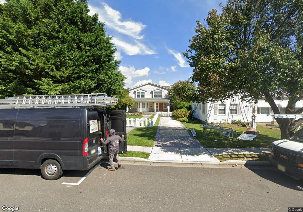
313 Central Ave Point Pleasant Beach, NJ 08742
Point Pleasant Beach NeighborhoodEstimated Value: $895,822 - $1,072,000
4
Beds
2
Baths
2,814
Sq Ft
$356/Sq Ft
Est. Value
About This Home
This home is located at 313 Central Ave, Point Pleasant Beach, NJ 08742 and is currently estimated at $1,002,956, approximately $356 per square foot. 313 Central Ave is a home located in Ocean County with nearby schools including G Harold Antrim Elementary School, Point Pleasant Beach High School, and St. Peter School.
Ownership History
Date
Name
Owned For
Owner Type
Purchase Details
Closed on
Apr 16, 2007
Sold by
Fritz Edward and Fritz Maureen
Bought by
Posada Cristian and Posada Melissa
Current Estimated Value
Home Financials for this Owner
Home Financials are based on the most recent Mortgage that was taken out on this home.
Original Mortgage
$58,400
Outstanding Balance
$35,542
Interest Rate
6.18%
Mortgage Type
Unknown
Estimated Equity
$967,414
Create a Home Valuation Report for This Property
The Home Valuation Report is an in-depth analysis detailing your home's value as well as a comparison with similar homes in the area
Home Values in the Area
Average Home Value in this Area
Purchase History
| Date | Buyer | Sale Price | Title Company |
|---|---|---|---|
| Posada Cristian | $584,900 | First American Title Ins Co |
Source: Public Records
Mortgage History
| Date | Status | Borrower | Loan Amount |
|---|---|---|---|
| Open | Posada Cristian | $58,400 | |
| Open | Posada Cristian | $467,900 |
Source: Public Records
Tax History Compared to Growth
Tax History
| Year | Tax Paid | Tax Assessment Tax Assessment Total Assessment is a certain percentage of the fair market value that is determined by local assessors to be the total taxable value of land and additions on the property. | Land | Improvement |
|---|---|---|---|---|
| 2025 | $9,428 | $548,800 | $370,000 | $178,800 |
| 2024 | $9,143 | $548,800 | $370,000 | $178,800 |
Source: Public Records
Map
Nearby Homes
- 110 Parkway
- 201 Forman Ave
- 607 Richmond Ave Unit 4
- 202 Yale Ave
- 326 Curtis Ave Unit Lot 27
- 606 Bay Ave Unit 2
- 606 Bay Ave Unit 3
- 328 Curtis Ave Unit Lot 28
- 109 Griffiths Ave
- 728 Arnold Ave
- 312 Woodland Rd
- 800 Grove St
- 204 Curtis Ave
- 704 Forman Ave
- 118 New York Ave
- 10 Brunswick Place
- 7 Brunswick Place
- 1008 Ocean Ave N
- 5 Water St
- 140 Ocean Ave
- 315 Central Ave
- 311 Central Ave
- 317 Central Ave
- 317 Central Ave Unit Back
- 317 Central Ave Unit FRONT
- 310 Saint Louis Ave
- 307 Central Ave
- 319 Central Ave
- 319 Central Ave Unit 2
- 319 Central Ave Unit 1
- 319 Central Ave Unit 2
- 319 Central Ave Unit 1
- 312 Saint Louis Ave
- 306 Saint Louis Ave
- 305 Central Ave
- 308 Parkway
- 308 Parkway Unit A
- 308 Parkway Unit B
- 308 Parkway Unit D
- 312 Central Ave