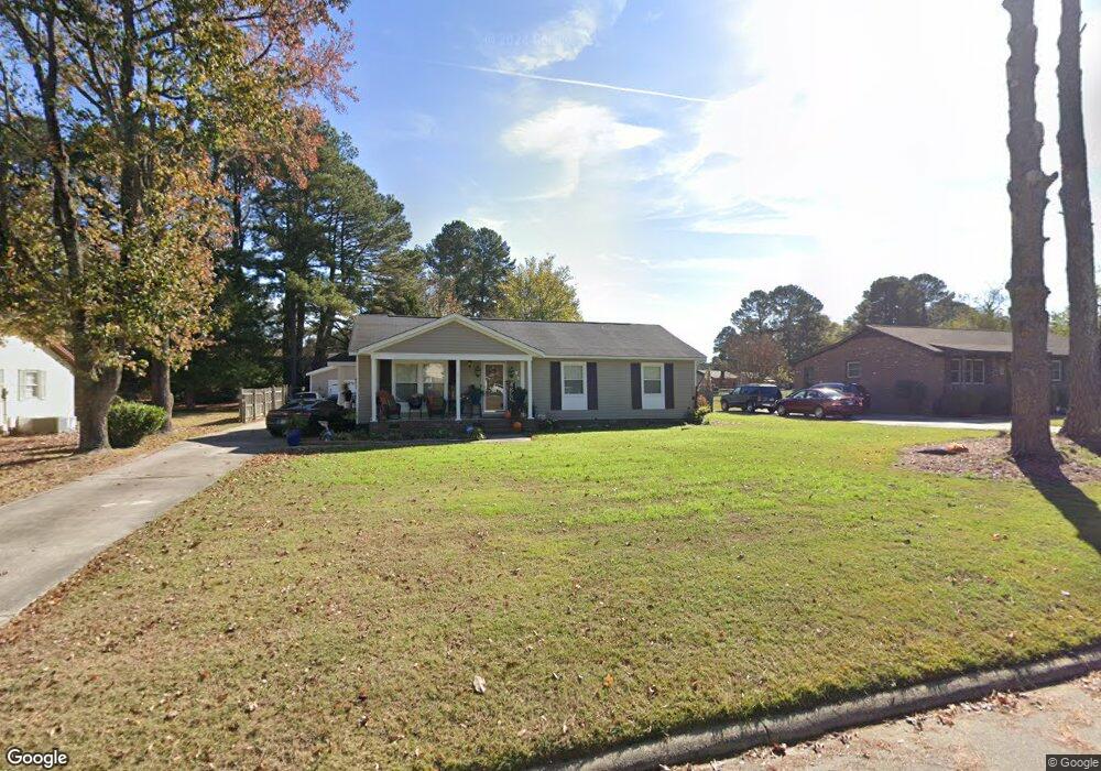
313 Cunningham Dr Rocky Mount, NC 27804
Estimated Value: $173,000 - $205,000
3
Beds
2
Baths
1,344
Sq Ft
$139/Sq Ft
Est. Value
About This Home
This home is located at 313 Cunningham Dr, Rocky Mount, NC 27804 and is currently estimated at $186,489, approximately $138 per square foot. 313 Cunningham Dr is a home located in Nash County with nearby schools including Northern Nash High School, M.B. Hubbard Elementary School, and Red Oak Middle School.
Ownership History
Date
Name
Owned For
Owner Type
Purchase Details
Closed on
Apr 9, 2014
Sold by
Wells Fargo Bank Na
Bought by
Williams Robert and Williams Tonia
Current Estimated Value
Home Financials for this Owner
Home Financials are based on the most recent Mortgage that was taken out on this home.
Original Mortgage
$34,200
Outstanding Balance
$25,330
Interest Rate
3.75%
Mortgage Type
Adjustable Rate Mortgage/ARM
Estimated Equity
$161,159
Purchase Details
Closed on
Mar 19, 2013
Sold by
Jones Steven Roscoe and Jones Capressa
Bought by
Wells Fargo Bank Na
Create a Home Valuation Report for This Property
The Home Valuation Report is an in-depth analysis detailing your home's value as well as a comparison with similar homes in the area
Home Values in the Area
Average Home Value in this Area
Purchase History
| Date | Buyer | Sale Price | Title Company |
|---|---|---|---|
| Williams Robert | $40,500 | None Available | |
| Wells Fargo Bank Na | $75,000 | None Available |
Source: Public Records
Mortgage History
| Date | Status | Borrower | Loan Amount |
|---|---|---|---|
| Open | Williams Robert | $34,200 |
Source: Public Records
Tax History Compared to Growth
Tax History
| Year | Tax Paid | Tax Assessment Tax Assessment Total Assessment is a certain percentage of the fair market value that is determined by local assessors to be the total taxable value of land and additions on the property. | Land | Improvement |
|---|---|---|---|---|
| 2025 | $927 | $147,220 | $34,020 | $113,200 |
| 2024 | $927 | $90,090 | $30,620 | $59,470 |
| 2023 | $604 | $90,090 | $0 | $0 |
| 2022 | $617 | $90,090 | $30,620 | $59,470 |
| 2021 | $604 | $90,090 | $30,620 | $59,470 |
| 2020 | $604 | $90,090 | $30,620 | $59,470 |
| 2019 | $604 | $90,090 | $30,620 | $59,470 |
| 2018 | $604 | $90,090 | $0 | $0 |
| 2017 | $604 | $90,090 | $0 | $0 |
| 2015 | $693 | $103,362 | $0 | $0 |
| 2014 | $693 | $103,362 | $0 | $0 |
Source: Public Records
Map
Nearby Homes
- 1132 Niblick Dr
- 101 Rock Creek Ct
- 1009 Southbriar Dr
- 1248 Drivers Cir
- 1512 Briar Glenn Rd
- 1820 Burnt Mill Rd
- 1152 Freer Dr
- 1732 Bobwhite Ln
- 1739 Bobwhite Ln
- 813 Greyson Rd
- 1205 Mashie Ln
- 1704 Old Barn Rd
- 105 Ambergate Ct
- 136 Ambergate Ct
- 144 Ambergate Ct
- 148 Ambergate Ct
- 145 Ambergate Ct
- 627 Greyson Rd
- 317 Cunningham Dr
- 309 Cunningham Dr
- 220 Saint Christophers Walk
- 216 Saint Christophers Walk
- 321 Cunningham Dr
- 305 Cunningham Dr
- 301 Whitehall Dr
- 229 Saint Christophers Walk
- 212 Saint Christophers Walk
- 241 Brentwood Dr
- 225 Saint Christophers Walk
- 304 Whitehall Dr
- 237 Brentwood Dr
- 301 Brentwood Dr
- 208 Saint Christophers Walk
- 309 Whitehall Dr
- 1281 Goldrock Rd
- 221 Saint Christophers Walk
- 308 Whitehall Dr