313 Dundee Rd Barrington, IL 60010
Estimated Value: $1,261,000 - $1,471,000
4
Beds
5
Baths
5,328
Sq Ft
$261/Sq Ft
Est. Value
About This Home
This home is located at 313 Dundee Rd, Barrington, IL 60010 and is currently estimated at $1,391,461, approximately $261 per square foot. 313 Dundee Rd is a home located in Cook County with nearby schools including Countryside Elementary School, Barrington Mdle School- Prairie Cmps, and Barrington High School.
Ownership History
Date
Name
Owned For
Owner Type
Purchase Details
Closed on
Sep 27, 1996
Sold by
Demski George J and Demski Marcia I
Bought by
Su Neichung and Su Neiming
Current Estimated Value
Purchase Details
Closed on
Nov 9, 1994
Sold by
Demski George J and Demski Marcia L
Bought by
Department Of Transporation
Purchase Details
Closed on
Dec 6, 1993
Sold by
Cole Taylor Bank
Bought by
Demski George J and Demski Marcia I
Create a Home Valuation Report for This Property
The Home Valuation Report is an in-depth analysis detailing your home's value as well as a comparison with similar homes in the area
Home Values in the Area
Average Home Value in this Area
Purchase History
| Date | Buyer | Sale Price | Title Company |
|---|---|---|---|
| Su Neichung | $190,000 | Attorneys Natl Title Network | |
| Department Of Transporation | -- | -- | |
| Demski George J | -- | -- |
Source: Public Records
Tax History
| Year | Tax Paid | Tax Assessment Tax Assessment Total Assessment is a certain percentage of the fair market value that is determined by local assessors to be the total taxable value of land and additions on the property. | Land | Improvement |
|---|---|---|---|---|
| 2025 | $25,790 | $121,000 | $41,771 | $79,229 |
| 2024 | $25,790 | $111,000 | $41,771 | $69,229 |
| 2023 | $25,153 | $111,000 | $41,771 | $69,229 |
| 2022 | $25,153 | $111,000 | $41,771 | $69,229 |
| 2021 | $26,454 | $102,142 | $41,771 | $60,371 |
| 2020 | $25,734 | $102,142 | $41,771 | $60,371 |
| 2019 | $25,030 | $113,492 | $41,771 | $71,721 |
| 2018 | $28,525 | $126,219 | $31,328 | $94,891 |
| 2017 | $27,911 | $126,219 | $31,328 | $94,891 |
| 2016 | $26,604 | $126,219 | $31,328 | $94,891 |
| 2015 | $28,541 | $121,094 | $20,885 | $100,209 |
| 2014 | $28,500 | $121,094 | $20,885 | $100,209 |
| 2013 | $27,361 | $121,094 | $20,885 | $100,209 |
Source: Public Records
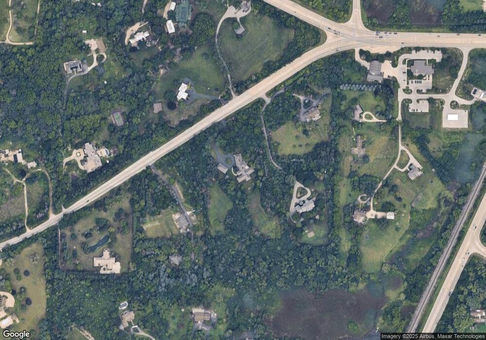
Map
Nearby Homes
- 326 Dundee Rd
- 315 Dundee Rd
- 118 Algonquin Rd
- 114 Algonquin Rd
- 15 Creekside Ln
- 320 Dundee Rd
- 319 W Dundee Rd
- 319 Dundee Rd
- 310 Algonquin Rd
- 116 Algonquin Rd
- 310 Dundee Rd
- 14 Creekside Ln
- 16 Creekside Ln
- 200 Dundee Rd
- 177 Dundee Rd
- 177 Dundee Rd
- 177 Dundee Rd
- 13 Creekside Ln
- 12 Creekside Ln
- 17 Creekside Ln
Your Personal Tour Guide
Ask me questions while you tour the home.