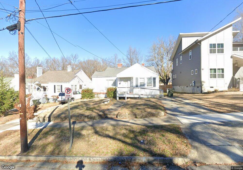
313 Dunstan Ave Durham, NC 27707
Spaulding Community NeighborhoodEstimated Value: $256,000 - $320,000
About This Home
This home is located at 313 Dunstan Ave, Durham, NC 27707 and is currently estimated at $278,530, approximately $222 per square foot. 313 Dunstan Ave is a home located in Durham County with nearby schools including C. C. Spaulding Elementary, Morehead Montessori, and Sherwood Githens Middle.
Ownership History
We collect this data history from publicly available records. To have your information removed, we recommend requesting removal directly through your county’s website.
Purchase Details
Home Financials for this Owner
Home Financials are based on the most recent Mortgage that was taken out on this home.Purchase Details
Home Values in the Area
Average Home Value in this Area
Purchase History
We collect this data history from publicly available records. To have your information removed, we recommend requesting removal directly through your county’s website.
| Date | Buyer | Sale Price | Title Company |
|---|---|---|---|
| $70,000 | None Available | ||
| -- | -- |
Mortgage History
We collect this data history from publicly available records. To have your information removed, we recommend requesting removal directly through your county’s website.
| Date | Status | Borrower | Loan Amount |
|---|---|---|---|
| Closed | $15,000 |
Tax History
We collect this data history from publicly available records. To have your information removed, we recommend requesting removal directly through your county’s website.
| Year | Tax Paid | Tax Assessment Tax Assessment Total Assessment is a certain percentage of the fair market value that is determined by local assessors to be the total taxable value of land and additions on the property. | Land | Improvement |
|---|---|---|---|---|
| 2025 | $2,698 | $272,172 | $142,500 | $129,672 |
| 2024 | $1,627 | $116,673 | $56,750 | $59,923 |
| 2023 | $1,528 | $116,673 | $56,750 | $59,923 |
| 2022 | $1,493 | $116,673 | $56,750 | $59,923 |
| 2021 | $1,486 | $116,673 | $56,750 | $59,923 |
| 2020 | $1,451 | $116,673 | $56,750 | $59,923 |
| 2019 | $1,451 | $116,673 | $56,750 | $59,923 |
| 2018 | $854 | $62,923 | $14,187 | $48,736 |
| 2017 | $847 | $62,923 | $14,187 | $48,736 |
| 2016 | $819 | $69,900 | $14,187 | $55,713 |
| 2015 | $869 | $62,784 | $18,627 | $44,157 |
| 2014 | -- | $62,784 | $18,627 | $44,157 |
Map
- 1608 Fayetteville St
- 417 Dupree St
- 200 Bern St
- 111 Dunstan Ave
- 217 Moline St
- 1203 Avery St
- 1312 S Roxboro St
- 511 Linwood Ave
- 1510 S Roxboro St
- 1222 Merrick St
- 701 Linwood Ave
- 1406 South St
- 1313 Fargo St
- 803 B Dupree St
- 106 W Enterprise St
- 809 Dupree St
- 1711 South St
- 203 Nelson St
- 212 W Enterprise St
- 906 Price Ave
- 311 Dunstan Ave
- 401 Dunstan Ave
- 403 Dunstan Ave
- 309 Dunstan Ave
- 314 Price Ave
- 400-402-404-406 Price Ave
- 307 Dunstan Ave
- 405 Dunstan Ave
- 312 Price Ave
- 402 Price Ave
- 400 Price Ave
- 400 Price Ave Unit 4
- 408 Price Ave
- 310 Price Ave
- 312 Dunstan Ave
- 406 Price Ave
- 305 Dunstan Ave
- 310 Dunstan Ave
- 400 Dunstan Ave
- 308 Dunstan Ave
Ask me questions while you tour the home.