313 Field Point Rd Branford, CT 06405
Estimated Value: $396,000 - $417,654
3
Beds
3
Baths
1,556
Sq Ft
$263/Sq Ft
Est. Value
About This Home
This home is located at 313 Field Point Rd, Branford, CT 06405 and is currently estimated at $409,914, approximately $263 per square foot. 313 Field Point Rd is a home located in New Haven County with nearby schools including Francis Walsh Intermediate School, Branford High School, and East Shoreline Catholic Academy.
Ownership History
Date
Name
Owned For
Owner Type
Purchase Details
Closed on
Oct 28, 2003
Sold by
Demir Elizabeth A
Bought by
Charlow John P and Charlow Sarah L
Current Estimated Value
Home Financials for this Owner
Home Financials are based on the most recent Mortgage that was taken out on this home.
Original Mortgage
$152,000
Outstanding Balance
$71,201
Interest Rate
6.15%
Estimated Equity
$338,713
Purchase Details
Closed on
Jun 30, 1998
Sold by
Watsky Adam J and Watsky Nancy E
Bought by
Demir Elizabeth A and Oconnor Jennifer P
Create a Home Valuation Report for This Property
The Home Valuation Report is an in-depth analysis detailing your home's value as well as a comparison with similar homes in the area
Home Values in the Area
Average Home Value in this Area
Purchase History
| Date | Buyer | Sale Price | Title Company |
|---|---|---|---|
| Charlow John P | $192,000 | -- | |
| Demir Elizabeth A | $130,000 | -- |
Source: Public Records
Mortgage History
| Date | Status | Borrower | Loan Amount |
|---|---|---|---|
| Open | Demir Elizabeth A | $152,000 | |
| Previous Owner | Demir Elizabeth A | $101,500 |
Source: Public Records
Tax History Compared to Growth
Tax History
| Year | Tax Paid | Tax Assessment Tax Assessment Total Assessment is a certain percentage of the fair market value that is determined by local assessors to be the total taxable value of land and additions on the property. | Land | Improvement |
|---|---|---|---|---|
| 2025 | $5,555 | $259,600 | $0 | $259,600 |
| 2024 | $4,950 | $162,400 | $0 | $162,400 |
| 2023 | $4,854 | $162,400 | $0 | $162,400 |
| 2022 | $4,783 | $162,400 | $0 | $162,400 |
| 2021 | $4,783 | $162,400 | $0 | $162,400 |
| 2020 | $4,697 | $162,400 | $0 | $162,400 |
| 2019 | $4,721 | $162,400 | $0 | $162,400 |
| 2018 | $4,651 | $162,400 | $0 | $162,400 |
| 2017 | $4,624 | $162,400 | $0 | $162,400 |
| 2016 | $4,449 | $162,300 | $0 | $162,300 |
| 2015 | $4,371 | $162,300 | $0 | $162,300 |
| 2014 | $4,324 | $164,800 | $0 | $164,800 |
Source: Public Records
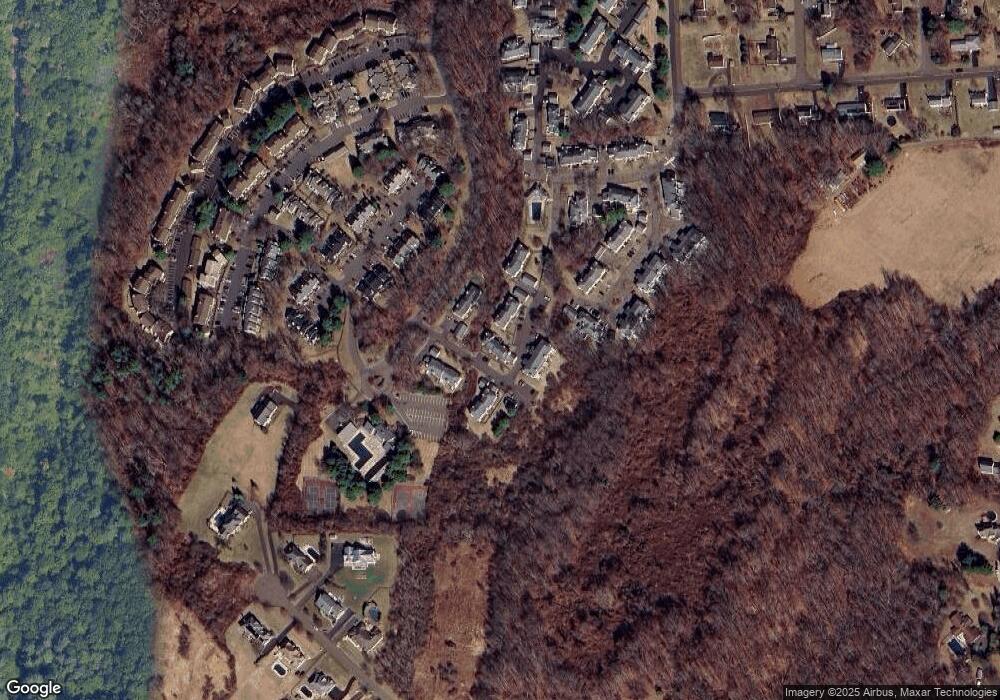
Map
Nearby Homes
- 100 Hemlock Rd Unit 4-2
- 169 Watch Hill Rd Unit 169
- 38 Foxbridge Village Rd
- 8 Autumn Ridge Rd
- 175 Cherry Hill Rd
- 47 Jerimoth Dr Unit 47
- 53 Brushy Plain Rd Unit 4E
- 240 Austin Ryer Ln Unit 240
- 226 Austin Ryer Ln Unit 226
- 12 Heritage Hill Rd
- 13 Brushy Plain Rd
- 184 Cherry Hill Rd Unit Lot 4
- 180 Cherry Hill Rd Unit Lot 5
- 379 Brushy Plain Rd
- 26 Cedar Knolls Dr
- 983 N High St
- 12 Corbin Rd
- 107 Chestnut St
- 9 Mirage Dr
- 27 Hickory Hill Ln
- 315 Field Point Rd
- 311 Field Point Rd
- 311 Field Point Rd Unit 311
- 309 Field Point Rd
- 309 Field Point Rd Unit 309
- 372 Old Rock Rd
- 370 Old Rock Rd
- 370 Old Rock Rd Unit 370
- 374 Old Rock Rd
- 371 Old Rock Rd
- 371 Old Rock Rd Unit 371
- 376 Old Rock Rd
- 376 Old Rock Rd Unit 376
- 373 Old Rock Rd
- 373 Old Rock Rd Unit 373
- 310 Field Point Rd
- 378 Old Rock Rd
- 375 Old Rock Rd
- 375 Old Rock Rd Unit 375
- 377 Old Rock Rd