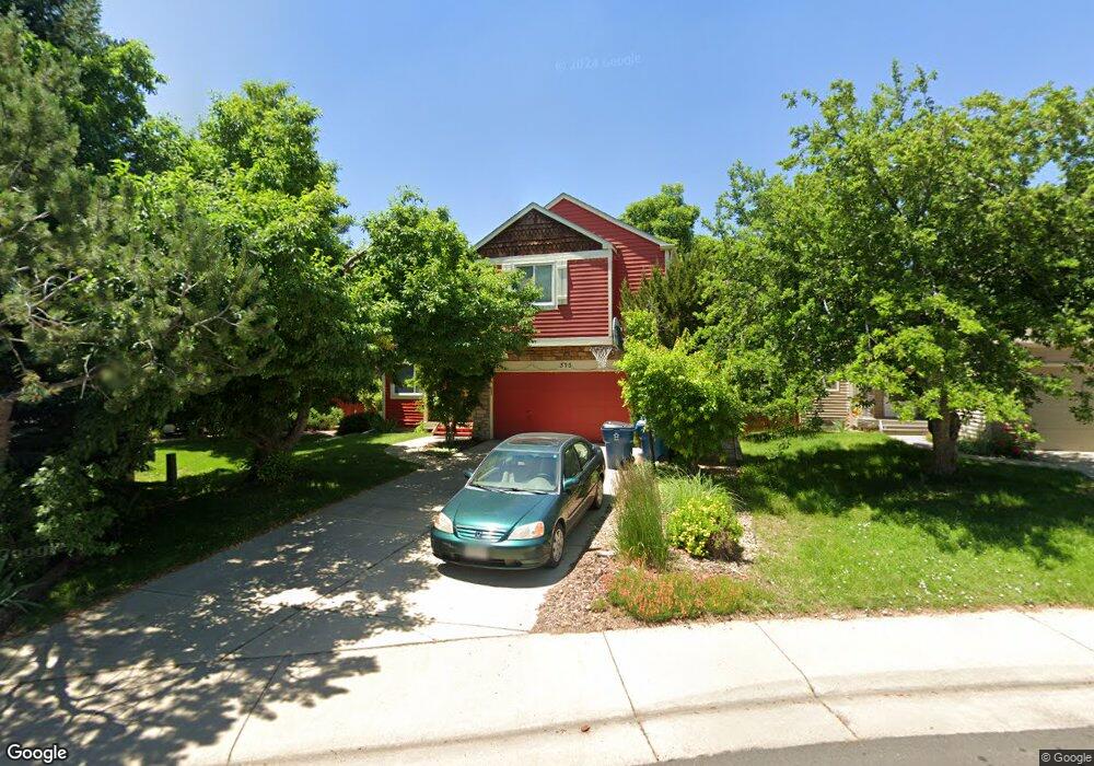
313 Grouse Ct Louisville, CO 80027
Estimated Value: $764,000 - $870,000
3
Beds
3
Baths
1,358
Sq Ft
$590/Sq Ft
Est. Value
About This Home
This home is located at 313 Grouse Ct, Louisville, CO 80027 and is currently estimated at $801,345, approximately $590 per square foot. 313 Grouse Ct is a home located in Boulder County with nearby schools including Fireside Elementary School, Monarch K-8 School, and Monarch High School.
Ownership History
Date
Name
Owned For
Owner Type
Purchase Details
Closed on
Jun 30, 2006
Sold by
Wyant Tyrone Clossen
Bought by
Lehti Richard A
Current Estimated Value
Home Financials for this Owner
Home Financials are based on the most recent Mortgage that was taken out on this home.
Original Mortgage
$224,000
Outstanding Balance
$132,836
Interest Rate
6.63%
Mortgage Type
Purchase Money Mortgage
Estimated Equity
$668,509
Purchase Details
Closed on
May 15, 1995
Sold by
Tamburello Anthony J and Sutliff Elizabeth A
Bought by
Wyant Tyrone Clossen
Home Financials for this Owner
Home Financials are based on the most recent Mortgage that was taken out on this home.
Original Mortgage
$127,900
Interest Rate
7%
Purchase Details
Closed on
Mar 29, 1988
Bought by
Lehti Richard A and Lehti Manuela
Purchase Details
Closed on
Mar 6, 1984
Bought by
Lehti Richard A and Lehti Manuela
Create a Home Valuation Report for This Property
The Home Valuation Report is an in-depth analysis detailing your home's value as well as a comparison with similar homes in the area
Home Values in the Area
Average Home Value in this Area
Purchase History
| Date | Buyer | Sale Price | Title Company |
|---|---|---|---|
| Lehti Richard A | $280,000 | Land Title Guarantee Company | |
| Wyant Tyrone Clossen | $159,900 | Commonwealth Land Title | |
| Lehti Richard A | $98,700 | -- | |
| Lehti Richard A | -- | -- |
Source: Public Records
Mortgage History
| Date | Status | Borrower | Loan Amount |
|---|---|---|---|
| Open | Lehti Richard A | $224,000 | |
| Previous Owner | Wyant Tyrone Clossen | $127,900 |
Source: Public Records
Tax History Compared to Growth
Tax History
| Year | Tax Paid | Tax Assessment Tax Assessment Total Assessment is a certain percentage of the fair market value that is determined by local assessors to be the total taxable value of land and additions on the property. | Land | Improvement |
|---|---|---|---|---|
| 2025 | $4,463 | $51,275 | $23,419 | $27,856 |
| 2024 | $4,463 | $51,275 | $23,419 | $27,856 |
| 2023 | $4,387 | $49,654 | $25,393 | $27,946 |
| 2022 | $3,788 | $39,358 | $19,252 | $20,106 |
| 2021 | $3,947 | $42,621 | $20,849 | $21,772 |
| 2020 | $3,492 | $37,316 | $17,518 | $19,798 |
| 2019 | $3,442 | $37,316 | $17,518 | $19,798 |
| 2018 | $3,082 | $34,495 | $8,784 | $25,711 |
| 2017 | $3,020 | $38,136 | $9,711 | $28,425 |
| 2016 | $2,624 | $29,827 | $13,214 | $16,613 |
| 2015 | $2,487 | $26,412 | $14,408 | $12,004 |
| 2014 | $2,258 | $26,412 | $14,408 | $12,004 |
Source: Public Records
Map
Nearby Homes
- 408 Fillmore Ct
- 159 S Polk Ave
- 592 Spruce Cir
- 494 Owl Dr Unit 4
- 118 S Tanager Ct
- 641 W Dahlia St
- 291 W Sycamore Ln
- 426 W Spruce Ln
- 812 W Mulberry St
- 593 Wildrose Way
- 279 S Taft Ct Unit 53
- 284 S Taft Ct Unit 76
- 323 S Taft Ct Unit 26
- 810 Trail Ridge Dr
- 513 Adams Ave
- 305 S Taft Ct Unit 33
- 362 S Taft Ct Unit 108
- 474 W Spruce St
- 823 Trail Ridge Dr
- 310 W Spruce St
- 317 Grouse Ct
- 309 Grouse Ct
- 305 Grouse Ct
- 327 Grouse Ct
- 301 Grouse Ct
- 314 Grouse Ct
- 562 W Sandbar Cir
- 576 W Sandbar Cir
- 326 Grouse Ct
- 568 W Sycamore St
- 550 W Sandbar Cir
- 344 Grouse Ct
- 580 W Sandbar Cir
- 401 Grouse Ct
- 566 W Sycamore St
- 311 Buchanan Ct
- 100 S Polk Ave
- 325 Buchanan Ct
- 378 Grouse Ct
- 341 Buchanan Ct