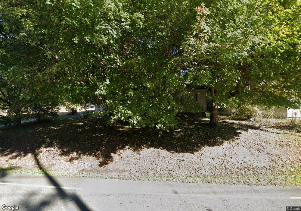
313 Linwood Rd Lexington, NC 27292
Estimated Value: $85,000 - $118,000
3
Beds
1
Bath
1,204
Sq Ft
$90/Sq Ft
Est. Value
About This Home
This home is located at 313 Linwood Rd, Lexington, NC 27292 and is currently estimated at $107,908, approximately $89 per square foot. 313 Linwood Rd is a home with nearby schools including South Lexington School, Lexington Middle School, and Lexington Senior High School.
Ownership History
Date
Name
Owned For
Owner Type
Purchase Details
Closed on
Aug 24, 2006
Sold by
Thomas Annie Mae
Bought by
Barriet Lavette N and Barriet Derek D
Current Estimated Value
Home Financials for this Owner
Home Financials are based on the most recent Mortgage that was taken out on this home.
Original Mortgage
$34,000
Outstanding Balance
$20,380
Interest Rate
6.73%
Mortgage Type
Unknown
Estimated Equity
$87,528
Purchase Details
Closed on
Dec 14, 2004
Sold by
Thomas Annie Mae and Mcgill Kevin
Bought by
Barriet Derek D and Barriet Lavette N
Create a Home Valuation Report for This Property
The Home Valuation Report is an in-depth analysis detailing your home's value as well as a comparison with similar homes in the area
Home Values in the Area
Average Home Value in this Area
Purchase History
| Date | Buyer | Sale Price | Title Company |
|---|---|---|---|
| Barriet Lavette N | $34,000 | None Available | |
| Barriet Derek D | $16,000 | None Available |
Source: Public Records
Mortgage History
| Date | Status | Borrower | Loan Amount |
|---|---|---|---|
| Open | Barriet Lavette N | $34,000 | |
| Closed | Barriet Derek D | $0 |
Source: Public Records
Tax History Compared to Growth
Tax History
| Year | Tax Paid | Tax Assessment Tax Assessment Total Assessment is a certain percentage of the fair market value that is determined by local assessors to be the total taxable value of land and additions on the property. | Land | Improvement |
|---|---|---|---|---|
| 2025 | $752 | $57,860 | $0 | $0 |
| 2024 | $752 | $57,860 | $0 | $0 |
| 2023 | $752 | $57,860 | $0 | $0 |
| 2022 | $752 | $57,860 | $0 | $0 |
| 2021 | $752 | $57,860 | $0 | $0 |
| 2020 | $693 | $53,680 | $0 | $0 |
| 2019 | $703 | $53,680 | $0 | $0 |
| 2018 | $703 | $53,680 | $0 | $0 |
| 2017 | $703 | $53,680 | $0 | $0 |
| 2016 | $703 | $53,680 | $0 | $0 |
| 2015 | $676 | $53,680 | $0 | $0 |
| 2014 | $814 | $64,600 | $0 | $0 |
Source: Public Records
Map
Nearby Homes
- 10 Grant St
- 3 Linwood Rd
- 308 Carters Grove Rd
- 602 Old Linwood Rd
- 410 Irma Ave
- 603 Oak Ave
- 517 Liberty Ave
- 1301 Cotton Grove Rd
- 705 Laurel Ave
- 26 Harrington Ave
- 10 E 12th Ave
- 119 Cotton Grove Rd
- 969 Old Linwood Rd
- 306 Pope St
- 609 Peeler St
- 412 Wall St
- 644 Brown St
- 1235 Fairview Dr
- 422 Woodsway Dr
- 905 Kildee Dr
- 309 Linwood Rd
- 514 S Pennington Ave
- 401 Linwood Rd
- 602 S Pennington Ave
- 515 S Pennington Ave
- 606 S Pennington Ave
- 513 S Pennington Ave
- 511 S Pennington Ave
- 601 S Pennington Ave
- 603 S Pennington Ave
- 608 S Pennington Ave
- 509 S Pennington Ave
- 407 Old Linwood Rd
- 303 Linwood Rd
- 301 Linwood Rd
- 409 Linwood Rd
- 300 Jessup Street Extension
- 298 Jessup Street Extension
- 298 Jessup St
- 112 Bookington Dr