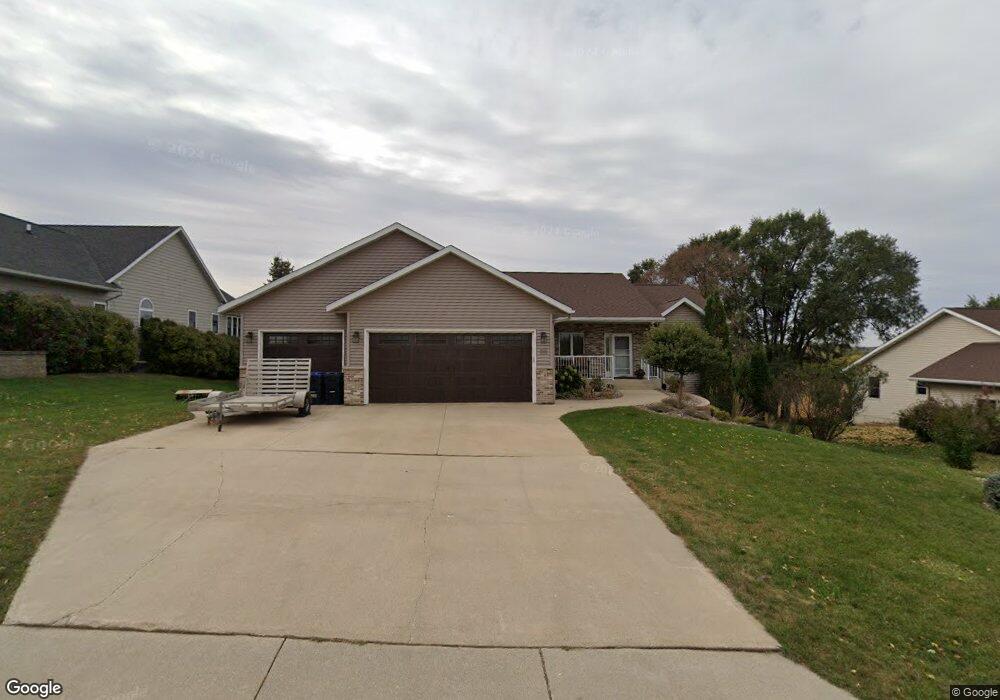
313 Maple Dr Lanesboro, MN 55949
Estimated Value: $354,178 - $460,000
4
Beds
3
Baths
2,652
Sq Ft
$159/Sq Ft
Est. Value
About This Home
This home is located at 313 Maple Dr, Lanesboro, MN 55949 and is currently estimated at $420,795, approximately $158 per square foot. 313 Maple Dr is a home located in Fillmore County with nearby schools including Lanesboro Elementary School and Lanesboro High School.
Ownership History
Date
Name
Owned For
Owner Type
Purchase Details
Closed on
Jun 18, 2019
Sold by
Haugen Keith and Haugen Keeta
Bought by
Haugen Chad and Haugen Darren
Current Estimated Value
Purchase Details
Closed on
Nov 15, 2018
Sold by
Ekstrom Keith A and Ekstrom Julie A
Bought by
Haugen Keith and Haugen Keeta
Purchase Details
Closed on
Aug 31, 2010
Sold by
Abelmann Robert R and Abelmann Cheryl L
Bought by
Ekstrom Keith A and Ekstrom Julie Abrahamson
Home Financials for this Owner
Home Financials are based on the most recent Mortgage that was taken out on this home.
Original Mortgage
$192,000
Interest Rate
4.6%
Mortgage Type
New Conventional
Purchase Details
Closed on
Apr 25, 2008
Sold by
Grebin Gary F and Grebin Wanda L
Bought by
Abelmann Robert R and Abelmann Cheryl L
Create a Home Valuation Report for This Property
The Home Valuation Report is an in-depth analysis detailing your home's value as well as a comparison with similar homes in the area
Purchase History
We collect this data history from publicly available records. To have your information removed, we recommend requesting removal directly through your county’s website.
| Date | Buyer | Sale Price | Title Company |
|---|---|---|---|
| Haugen Chad | -- | -- | |
| Haugen Keith | $280,000 | -- | |
| Ekstrom Keith A | $240,000 | None Available | |
| Abelmann Robert R | $25,000 | None Available |
Source: Public Records
Mortgage History
We collect this data history from publicly available records. To have your information removed, we recommend requesting removal directly through your county’s website.
| Date | Status | Borrower | Loan Amount |
|---|---|---|---|
| Previous Owner | Ekstrom Keith A | $192,000 |
Source: Public Records
Tax History
| Year | Tax Paid | Tax Assessment Tax Assessment Total Assessment is a certain percentage of the fair market value that is determined by local assessors to be the total taxable value of land and additions on the property. | Land | Improvement |
|---|---|---|---|---|
| 2025 | $5,160 | $349,700 | $35,000 | $314,700 |
| 2024 | $5,896 | $363,500 | $35,000 | $328,500 |
| 2023 | $4,482 | $363,500 | $35,000 | $328,500 |
| 2022 | $4,482 | $308,900 | $35,000 | $273,900 |
| 2021 | $4,482 | $275,600 | $29,900 | $245,700 |
| 2020 | $3,704 | $275,600 | $29,900 | $245,700 |
| 2019 | $3,358 | $209,000 | $28,500 | $180,500 |
| 2018 | $2,930 | $209,000 | $28,500 | $180,500 |
| 2017 | -- | $201,200 | $23,900 | $177,300 |
| 2016 | $2,524 | $201,200 | $23,900 | $177,300 |
| 2015 | $2,342 | $162,200 | $21,183 | $141,017 |
| 2014 | $2,342 | $167,500 | $21,317 | $146,183 |
| 2013 | $2,342 | $174,800 | $21,479 | $153,321 |
Source: Public Records
Map
Nearby Homes
- 210 Zenith St
- TBD State 16
- 104 Hidden Valley Dr
- 606 Kenilworth Ave S
- 708 Parkway Ave S
- 202 Ridgeview Ln S
- 705 Rochelle Ave S
- 201 Ridgeview Ln S Unit 201
- 201 Ridgeview Ln S Unit 204
- 105 Kenilworth Ave N
- 206 Elmwood St E
- 36649 Ember Dr
- 34760 Fawn Dr
- Faith Trail
- 36658 Dogwood Rd
- 27333 Deep River Rd
- 113 Valley St NE
- 517 Pleasant St NE
- 501 Saint Anthony St N
- 327 Parkside Dr SE
Your Personal Tour Guide
Ask me questions while you tour the home.