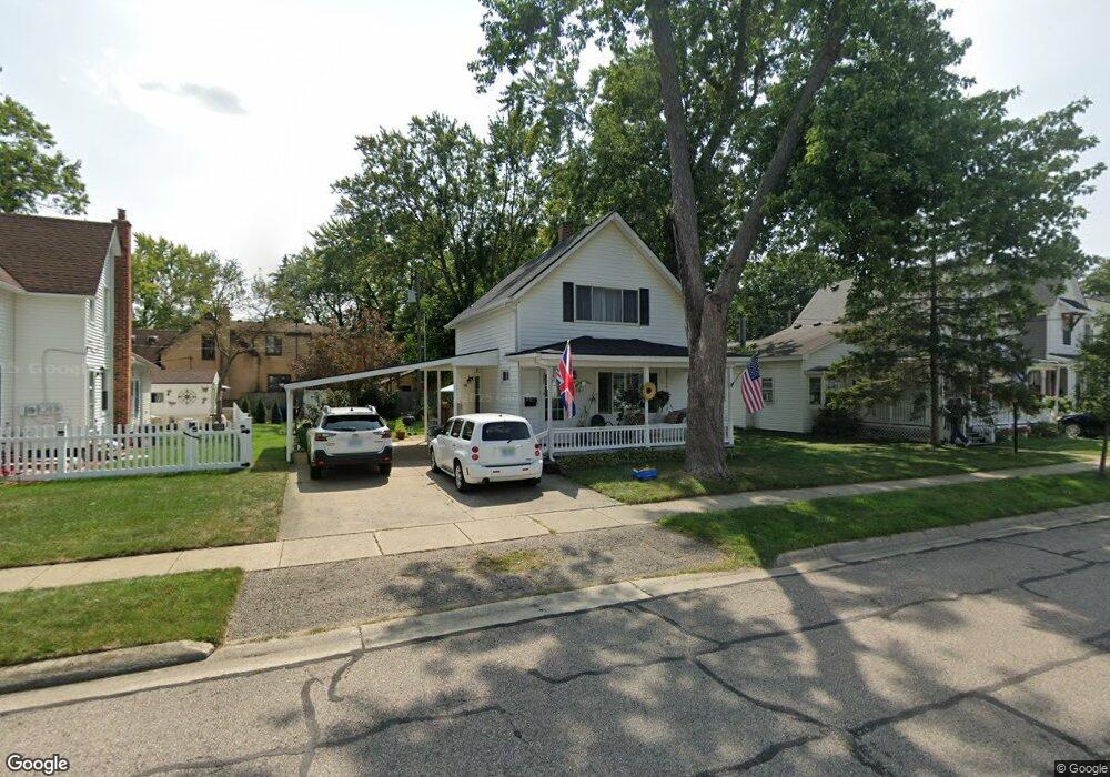
313 Maple St Plymouth, MI 48170
Estimated Value: $338,932 - $503,000
3
Beds
1
Bath
1,022
Sq Ft
$414/Sq Ft
Est. Value
About This Home
This home is located at 313 Maple St, Plymouth, MI 48170 and is currently estimated at $423,233, approximately $414 per square foot. 313 Maple St is a home located in Wayne County with nearby schools including Canton High School, Smith Elementary School, and East Middle School.
Ownership History
Date
Name
Owned For
Owner Type
Purchase Details
Closed on
Jul 30, 2021
Sold by
Rank Gregory
Bought by
Rank Lesley A
Current Estimated Value
Home Financials for this Owner
Home Financials are based on the most recent Mortgage that was taken out on this home.
Original Mortgage
$219,000
Interest Rate
2.9%
Mortgage Type
New Conventional
Purchase Details
Closed on
Aug 27, 2015
Sold by
Rank Joan E and Rank Paul W
Bought by
Rank Joan E and Rank Leslyn
Create a Home Valuation Report for This Property
The Home Valuation Report is an in-depth analysis detailing your home's value as well as a comparison with similar homes in the area
Home Values in the Area
Average Home Value in this Area
Purchase History
| Date | Buyer | Sale Price | Title Company |
|---|---|---|---|
| Rank Lesley A | -- | None Available | |
| Rank Leslyn A | -- | None Available | |
| Rank Joan E | -- | Attorney |
Source: Public Records
Mortgage History
| Date | Status | Borrower | Loan Amount |
|---|---|---|---|
| Closed | Rank Lesley A | $219,000 |
Source: Public Records
Tax History Compared to Growth
Tax History
| Year | Tax Paid | Tax Assessment Tax Assessment Total Assessment is a certain percentage of the fair market value that is determined by local assessors to be the total taxable value of land and additions on the property. | Land | Improvement |
|---|---|---|---|---|
| 2025 | $3,195 | $158,800 | $0 | $0 |
| 2024 | $3,195 | $141,300 | $0 | $0 |
| 2023 | $3,112 | $138,400 | $0 | $0 |
| 2022 | $3,299 | $130,000 | $0 | $0 |
| 2021 | $3,197 | $128,000 | $0 | $0 |
| 2020 | $3,188 | $126,300 | $0 | $0 |
| 2019 | $2,807 | $113,900 | $0 | $0 |
| 2018 | $2,727 | $105,100 | $0 | $0 |
| 2017 | $578 | $100,600 | $0 | $0 |
| 2016 | $2,970 | $95,300 | $0 | $0 |
| 2015 | $6,803 | $85,680 | $0 | $0 |
| 2013 | $6,591 | $78,040 | $0 | $0 |
| 2011 | -- | $70,160 | $0 | $0 |
Source: Public Records
Map
Nearby Homes
- 278 Maple St
- 256 Maple St
- 381 Hamilton St
- 300 Hamilton St Unit 201
- 300 Hamilton St Unit 306
- 525 W Ann Arbor Trail
- 190 Hamilton St
- 163 Hamilton St
- 628 Maple St
- 644 Maple St
- 636 Maple St
- 660 Maple St
- 668 Maple St
- 543 Deer St
- 221 Pinewood Cir Unit 25
- 333 N Sydney Ct
- 364 N Sydney Ct
- 396 N Sydney Ct
- 303 N Sydney Ct
- 372 N Sydney Ct
- 323 Maple St
- 303 Maple St
- 556 Fairground St
- 333 Maple St
- 580 Fairground St
- 314 Maple St
- 289 Maple St
- 302 Maple St
- 341 Maple St
- 635 Fairground St
- 326 Maple St
- 632 Fairground St
- 351 Maple St Unit Bldg-Unit
- 351 Maple St
- 338 Maple St
- 633 Fairground St
- 615 Fairground St
- 265 Maple St
- 290 Fairground St
- 308 Maple St