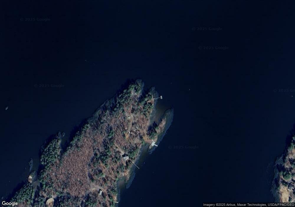
313 N End Rd Westport Island, ME 04578
Estimated Value: $551,738 - $743,000
3
Beds
1
Bath
1,120
Sq Ft
$583/Sq Ft
Est. Value
About This Home
This home is located at 313 N End Rd, Westport Island, ME 04578 and is currently estimated at $653,185, approximately $583 per square foot. 313 N End Rd is a home located in Lincoln County.
Ownership History
Date
Name
Owned For
Owner Type
Purchase Details
Closed on
Sep 26, 2006
Sold by
Race Clarence A and Race Justine P
Bought by
Donovan Laurie H
Current Estimated Value
Home Financials for this Owner
Home Financials are based on the most recent Mortgage that was taken out on this home.
Original Mortgage
$270,000
Outstanding Balance
$161,437
Interest Rate
6.59%
Mortgage Type
Purchase Money Mortgage
Estimated Equity
$491,748
Create a Home Valuation Report for This Property
The Home Valuation Report is an in-depth analysis detailing your home's value as well as a comparison with similar homes in the area
Home Values in the Area
Average Home Value in this Area
Purchase History
| Date | Buyer | Sale Price | Title Company |
|---|---|---|---|
| Donovan Laurie H | -- | -- | |
| Donovan Laurie H | -- | -- | |
| Donovan Laurie H | -- | -- |
Source: Public Records
Mortgage History
| Date | Status | Borrower | Loan Amount |
|---|---|---|---|
| Open | Donovan Laurie H | $270,000 | |
| Closed | Donovan Laurie H | $270,000 |
Source: Public Records
Tax History Compared to Growth
Tax History
| Year | Tax Paid | Tax Assessment Tax Assessment Total Assessment is a certain percentage of the fair market value that is determined by local assessors to be the total taxable value of land and additions on the property. | Land | Improvement |
|---|---|---|---|---|
| 2024 | $3,167 | $427,955 | $331,230 | $96,725 |
| 2023 | $2,803 | $427,955 | $331,230 | $96,725 |
| 2022 | $2,912 | $350,784 | $271,500 | $79,284 |
| 2021 | $2,771 | $350,784 | $271,500 | $79,284 |
| 2020 | $2,841 | $350,784 | $271,500 | $79,284 |
| 2019 | $2,620 | $350,784 | $271,500 | $79,284 |
| 2018 | $1,122 | $350,784 | $271,500 | $79,284 |
| 2016 | $2,526 | $350,784 | $271,500 | $79,284 |
| 2014 | $3,371 | $448,811 | $0 | $0 |
| 2013 | $3,478 | $448,811 | $371,500 | $77,311 |
Source: Public Records
Map
Nearby Homes
- 114 Fort Rd
- 67 Village Way Unit 505
- 304 Eddy Rd Unit 216
- 52 Eddy Rd
- 11 Island Ln Unit 1
- 306 Eddy Rd Unit 310
- 306 Eddy Rd Unit 307
- 306 Eddy Rd Unit 309
- 48 Us Route 1
- 91 Lord Rd
- 11 Koasi Trail
- 200 Main St
- 18 High St
- 00 Maine 27
- 83 Bath Rd
- 22 Sand Hill Rd
- 18 Churchill St
- 40 Old Bath Rd
- 3 Langdon Rd
- Lot #3 Bay View Trail