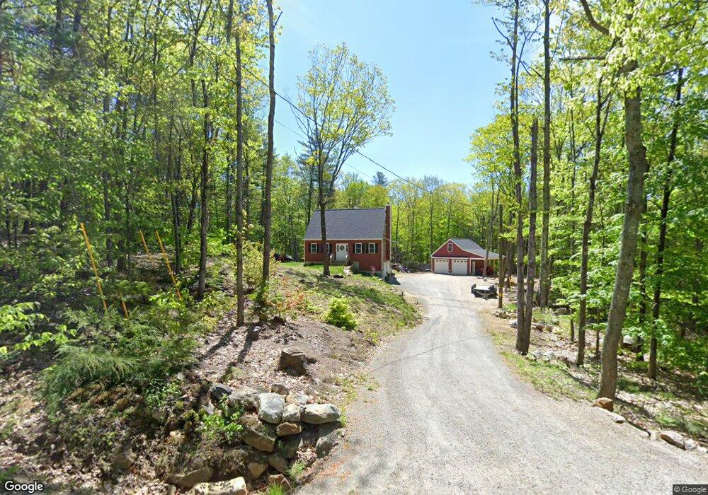
313 Pitman Rd Center Barnstead, NH 03225
Estimated Value: $516,000 - $595,000
3
Beds
2
Baths
1,970
Sq Ft
$285/Sq Ft
Est. Value
About This Home
This home is located at 313 Pitman Rd, Center Barnstead, NH 03225 and is currently estimated at $560,866, approximately $284 per square foot. 313 Pitman Rd is a home with nearby schools including Barnstead Elementary School and Prospect Mountain High School.
Ownership History
Date
Name
Owned For
Owner Type
Purchase Details
Closed on
Jul 6, 2020
Sold by
Rf Downing Homes Llc
Bought by
Munroe Dale K and Munroe Lori J
Current Estimated Value
Home Financials for this Owner
Home Financials are based on the most recent Mortgage that was taken out on this home.
Original Mortgage
$256,377
Outstanding Balance
$225,746
Interest Rate
3.2%
Mortgage Type
New Conventional
Estimated Equity
$335,120
Create a Home Valuation Report for This Property
The Home Valuation Report is an in-depth analysis detailing your home's value as well as a comparison with similar homes in the area
Home Values in the Area
Average Home Value in this Area
Purchase History
| Date | Buyer | Sale Price | Title Company |
|---|---|---|---|
| Munroe Dale K | $330,200 | None Available |
Source: Public Records
Mortgage History
| Date | Status | Borrower | Loan Amount |
|---|---|---|---|
| Open | Munroe Dale K | $256,377 |
Source: Public Records
Tax History
| Year | Tax Paid | Tax Assessment Tax Assessment Total Assessment is a certain percentage of the fair market value that is determined by local assessors to be the total taxable value of land and additions on the property. | Land | Improvement |
|---|---|---|---|---|
| 2025 | $8,325 | $485,400 | $108,800 | $376,600 |
| 2024 | $7,917 | $485,400 | $108,800 | $376,600 |
| 2023 | $6,965 | $485,400 | $108,800 | $376,600 |
| 2022 | $6,096 | $282,200 | $50,400 | $231,800 |
| 2021 | $6,197 | $282,200 | $50,400 | $231,800 |
| 2020 | $3,816 | $165,200 | $50,400 | $114,800 |
| 2019 | $881 | $38,600 | $38,600 | $0 |
| 2018 | $859 | $38,600 | $38,600 | $0 |
| 2017 | $925 | $32,000 | $32,000 | $0 |
| 2016 | $872 | $32,000 | $32,000 | $0 |
| 2015 | $869 | $32,000 | $32,000 | $0 |
| 2014 | $767 | $32,000 | $32,000 | $0 |
| 2013 | $752 | $32,000 | $32,000 | $0 |
Source: Public Records
Map
Nearby Homes
- 956 N Barnstead Rd
- 11b Bow Mills Rd
- 145 Holmes Rd
- 7 Sampson Dr
- 487 Shackford Corner Rd
- 15 Davis Dr
- 55 Walker Rd
- 157 Georgetown Dr
- 1 Wentworth Ln
- 37446 N Shore Washington Dr
- 222 Varney Rd
- Lot 76 Vail Rd
- 161 Vail Rd
- 28 Dalton Dr
- 184 Varney Rd
- 180 Varney Rd
- 101 Rogers Rd
- L68-1 Vail Rd
- 91 Bradford Ln
- 0 Chamberlain Rd Unit 11 5061842
- 22 Pitman Rd
- L22-1 Pitman Rd
- 323 Pitman Rd
- 333 Pitman Rd
- 669 N Barnstead Rd
- 44 Peter Biron Rd
- 683 N Barnstead Rd
- 277 Pitman Rd
- 680 N Barnstead Rd
- 26 George Pitman Dr
- 55 Peter Biron Rd
- 99 George Pitman Dr
- 38 Peter Biron Rd
- 267 Pitman Rd
- 255 Pitman Rd
- 729 N Barnstead Rd
- 300 Pitman Rd
- 18 Lands End Rd
- 238 Pitman Rd
- 88 Peter Biron Rd
Your Personal Tour Guide
Ask me questions while you tour the home.