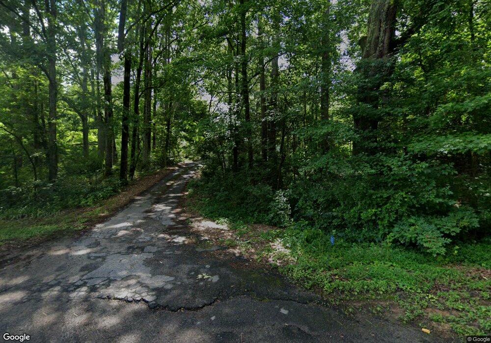
313 Smith Mill Rd Winder, GA 30680
Estimated Value: $314,000
3
Beds
1
Bath
1,692
Sq Ft
$186/Sq Ft
Est. Value
About This Home
This home is located at 313 Smith Mill Rd, Winder, GA 30680 and is currently estimated at $314,000, approximately $185 per square foot. 313 Smith Mill Rd is a home located in Barrow County with nearby schools including Bethlehem Elementary School, Haymon-Morris Middle School, and Apalachee High School.
Ownership History
Date
Name
Owned For
Owner Type
Purchase Details
Closed on
Oct 18, 2019
Sold by
Brown Tammy Smith
Bought by
Brown Tammy Smith and Brown William David
Current Estimated Value
Purchase Details
Closed on
Mar 31, 2017
Sold by
Irrevocab Harold Joe
Bought by
Smith Rudy F Cr and Smith Shelter Testam
Purchase Details
Closed on
Jul 22, 2010
Sold by
Smith Harold J
Bought by
Smith Harold J Trust
Purchase Details
Closed on
Jul 31, 1997
Sold by
Smith Jobe Jr And
Bought by
Smith Jobe
Purchase Details
Closed on
Mar 20, 1990
Bought by
Smith Jobe Jr And
Create a Home Valuation Report for This Property
The Home Valuation Report is an in-depth analysis detailing your home's value as well as a comparison with similar homes in the area
Home Values in the Area
Average Home Value in this Area
Purchase History
| Date | Buyer | Sale Price | Title Company |
|---|---|---|---|
| Brown Tammy Smith | -- | -- | |
| Brown Joseph D | -- | -- | |
| Brown Joseph D | $85,000 | -- | |
| Brown Tammy Smith | -- | -- | |
| Smith Rudy F Cr | -- | -- | |
| Smith Harold J Trust | -- | -- | |
| Smith Jobe | -- | -- | |
| Smith Jobe Jr And | -- | -- |
Source: Public Records
Tax History Compared to Growth
Tax History
| Year | Tax Paid | Tax Assessment Tax Assessment Total Assessment is a certain percentage of the fair market value that is determined by local assessors to be the total taxable value of land and additions on the property. | Land | Improvement |
|---|---|---|---|---|
| 2025 | $371 | $112,846 | $112,846 | $0 |
| 2024 | $368 | $112,846 | $112,846 | $0 |
| 2023 | $357 | $112,846 | $112,846 | $0 |
| 2022 | $397 | $112,846 | $112,846 | $0 |
| 2021 | $397 | $112,846 | $112,846 | $0 |
| 2020 | $388 | $99,310 | $99,310 | $0 |
| 2019 | $398 | $103,063 | $103,063 | $0 |
| 2018 | $373 | $103,063 | $103,063 | $0 |
| 2017 | $3,677 | $126,276 | $114,065 | $12,211 |
| 2016 | $716 | $108,939 | $96,728 | $12,211 |
| 2015 | $710 | $108,939 | $96,728 | $12,211 |
| 2014 | $724 | $73,150 | $60,938 | $12,211 |
| 2013 | -- | $72,539 | $60,938 | $11,600 |
Source: Public Records
Map
Nearby Homes
- 129 Carnaby St
- 884 Jackson Trail Rd
- 1101 Kailie Dr
- 463 Gin Mill Dr
- 259 Dunagan Ct
- 269 Knightsbridge Ln
- 1050 Bethlehem Church Rd
- 659 Smith Cemetery Rd
- 898 Harrison Mill Rd
- 465 Cade Ct
- 1224 Dale Dr
- 534 Walton Dr
- 633 Skyland Dr
- 1224 Dylan Way
- 182 Nativity Cove
- 182 Nativity Cove Unit 30
- 724 Manger Ave
- 784 Manger Ave
- 0 Manger Ave E Unit 20154677
- 0 Manger Ave E Unit 20127001
- 295 Smith Mill Rd
- 251 Smith Mill Rd
- 440 Vinings Ct
- 935 Vinings Dr
- 936 Vinings Dr
- 934 Vinings Dr
- 438 Vinings Ct
- 439 Vinings Ct
- 933 Vinings Dr
- 932 Vinings Dr
- 436 Vinings Ct
- 1015 Vinings Ln
- 437 Vinings Ct
- 437 Vinings Ct Unit 1
- 931 Vinings Dr
- 1016 Vinings Ln
- 930 Vinings Dr
- 1009 Vinings Ln
- 929 Vinings Dr
- 342 Smith Mill Rd
