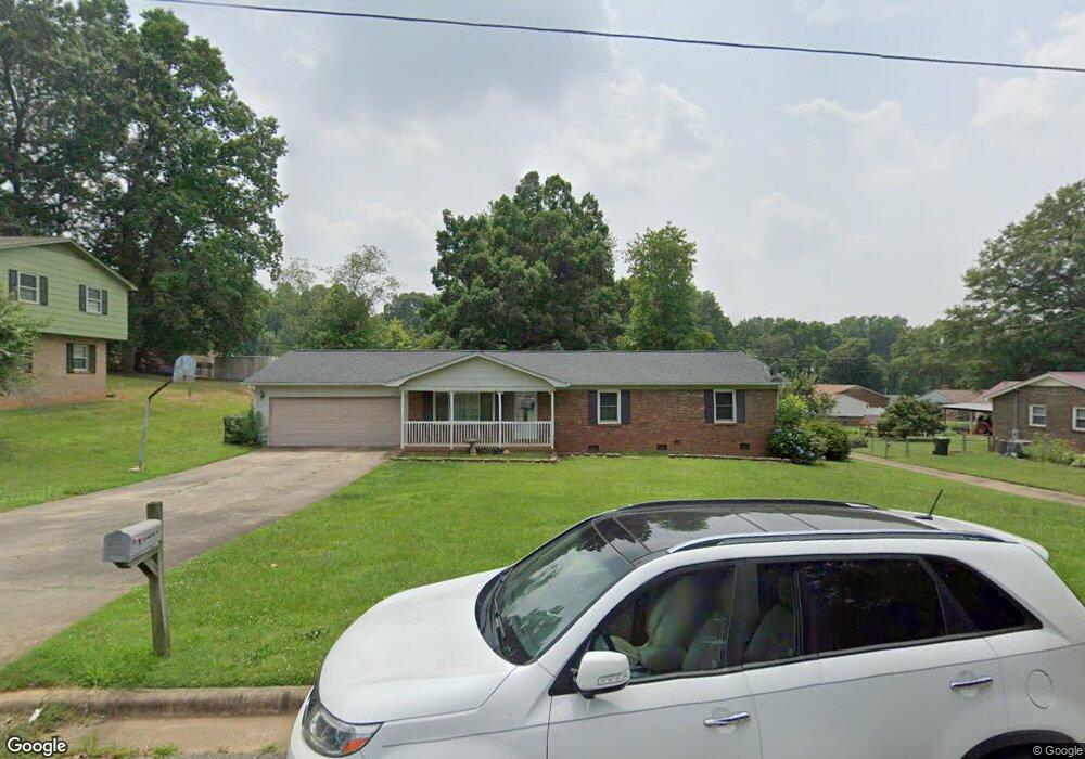
313 Somerset Dr Kings Mountain, NC 28086
Estimated Value: $236,953 - $300,000
--
Bed
--
Bath
1,508
Sq Ft
$175/Sq Ft
Est. Value
About This Home
This home is located at 313 Somerset Dr, Kings Mountain, NC 28086 and is currently estimated at $263,988, approximately $175 per square foot. 313 Somerset Dr is a home located in Cleveland County with nearby schools including West Elementary School, Kings Mountain Middle, and Kings Mountain Intermediate School.
Ownership History
Date
Name
Owned For
Owner Type
Purchase Details
Closed on
Sep 28, 2013
Sold by
Collins Teresa T
Bought by
Collins Forest P
Current Estimated Value
Home Financials for this Owner
Home Financials are based on the most recent Mortgage that was taken out on this home.
Original Mortgage
$111,500
Outstanding Balance
$84,011
Interest Rate
4.57%
Mortgage Type
New Conventional
Estimated Equity
$179,977
Create a Home Valuation Report for This Property
The Home Valuation Report is an in-depth analysis detailing your home's value as well as a comparison with similar homes in the area
Home Values in the Area
Average Home Value in this Area
Purchase History
| Date | Buyer | Sale Price | Title Company |
|---|---|---|---|
| Collins Forest P | -- | None Available |
Source: Public Records
Mortgage History
| Date | Status | Borrower | Loan Amount |
|---|---|---|---|
| Open | Collins Forest P | $111,500 |
Source: Public Records
Tax History Compared to Growth
Tax History
| Year | Tax Paid | Tax Assessment Tax Assessment Total Assessment is a certain percentage of the fair market value that is determined by local assessors to be the total taxable value of land and additions on the property. | Land | Improvement |
|---|---|---|---|---|
| 2025 | $2,184 | $213,027 | $27,500 | $185,527 |
| 2024 | $1,739 | $146,847 | $22,000 | $124,847 |
| 2023 | $1,731 | $146,847 | $22,000 | $124,847 |
| 2022 | $1,658 | $146,847 | $22,000 | $124,847 |
| 2021 | $1,666 | $146,847 | $22,000 | $124,847 |
| 2020 | $1,366 | $116,873 | $15,400 | $101,473 |
| 2019 | $1,366 | $116,873 | $15,400 | $101,473 |
| 2018 | $1,365 | $116,873 | $15,400 | $101,473 |
| 2017 | $1,358 | $116,873 | $15,400 | $101,473 |
| 2016 | $1,363 | $116,873 | $15,400 | $101,473 |
| 2015 | $1,222 | $107,407 | $12,650 | $94,757 |
| 2014 | $1,222 | $107,407 | $12,650 | $94,757 |
Source: Public Records
Map
Nearby Homes
- 804 Lee St
- 0 Southridge Dr Unit CAR4298120
- 112 Fulton Dr
- 245 Paige Rd
- 230 Paige Rd
- 430 Fulton Dr
- 227 Paige Rd
- 218 Paige Rd
- 212 Paige Rd
- 149 Parker Claire Ln
- 123 Parker Claire Ln
- 219 Parker Claire Ln
- 143 Parker Claire Ln
- 137 Parker Claire Ln
- 157 Parker Claire Ln
- 104 Parker Claire Ln
- 207 Parker Claire Ln
- Belhaven Plan at Brinkley Ridge
- Freeport Plan at Brinkley Ridge
- Robie Plan at Brinkley Ridge
- 311 Somerset Dr
- 315 Somerset Dr
- 314 Amhurst Dr
- 312 Amhurst Dr
- 316 Amhurst Dr
- 309 Somerset Dr
- 312 Somerset Dr
- 314 Somerset Dr
- 310 Amhurst Dr
- 317 Somerset Dr
- 310 Somerset Dr
- 316 Somerset Dr
- 318 Amhurst Dr
- 308 Amhurst Dr
- 307 Somerset Dr
- 308 Somerset Dr
- 319 Somerset Dr
- 318 Somerset Dr
- 311 Scotland Dr
- 313 Scotland Dr