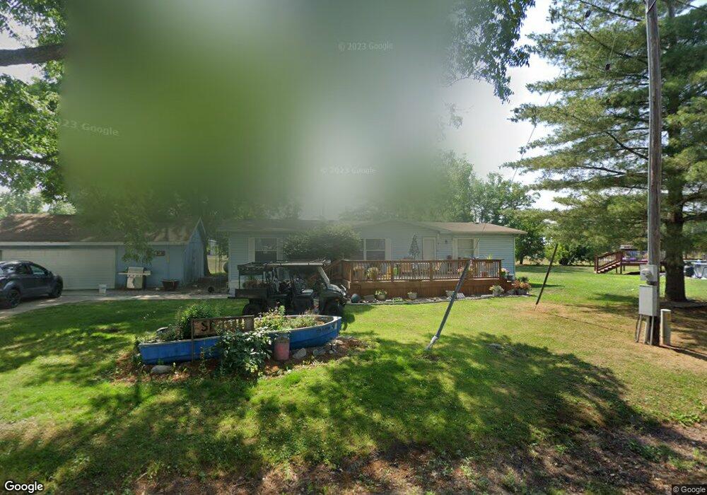
313 Walnut St Sumner, MO 64681
Estimated Value: $68,861 - $103,000
Studio
--
Bath
--
Sq Ft
13,068
Sq Ft Lot
About This Home
This home is located at 313 Walnut St, Sumner, MO 64681 and is currently estimated at $85,931. 313 Walnut St is a home with nearby schools including Northwestern Elementary School and Northwestern High School.
Ownership History
Date
Name
Owned For
Owner Type
Purchase Details
Closed on
Aug 11, 2025
Sold by
Dostal Richard Lynn
Bought by
Smith Tracy D and Smith Randi
Current Estimated Value
Purchase Details
Closed on
Aug 30, 2013
Sold by
Fmb Ore Inc
Bought by
Smith Tracy D and Smith Randi
Home Financials for this Owner
Home Financials are based on the most recent Mortgage that was taken out on this home.
Original Mortgage
$35,200
Interest Rate
4.36%
Mortgage Type
Future Advance Clause Open End Mortgage
Create a Home Valuation Report for This Property
The Home Valuation Report is an in-depth analysis detailing your home's value as well as a comparison with similar homes in the area
Purchase History
| Date | Buyer | Sale Price | Title Company |
|---|---|---|---|
| Smith Tracy D | -- | None Listed On Document | |
| Smith Tracy D | -- | None Listed On Document | |
| Smith Tracy D | -- | None Available |
Source: Public Records
Mortgage History
| Date | Status | Borrower | Loan Amount |
|---|---|---|---|
| Previous Owner | Smith Tracy D | $35,200 |
Source: Public Records
Tax History
| Year | Tax Paid | Tax Assessment Tax Assessment Total Assessment is a certain percentage of the fair market value that is determined by local assessors to be the total taxable value of land and additions on the property. | Land | Improvement |
|---|---|---|---|---|
| 2025 | $475 | $5,930 | $0 | $0 |
| 2024 | $475 | $5,930 | $0 | $0 |
| 2023 | $432 | $31,190 | $0 | $0 |
| 2022 | $434 | $31,190 | $0 | $0 |
| 2021 | $413 | $31,190 | $0 | $0 |
| 2020 | $415 | $5,930 | $0 | $0 |
| 2019 | $394 | $0 | $0 | $0 |
| 2018 | $460 | $36,300 | $0 | $0 |
| 2017 | $463 | $36,300 | $0 | $0 |
| 2016 | $464 | $6,900 | $0 | $0 |
| 2015 | -- | $6,900 | $0 | $0 |
| 2014 | -- | $6,900 | $0 | $0 |
Source: Public Records
Map
Nearby Homes
- Tbd Hog Ridge Rd
- 0000 County Rd
- 322 Elm St
- 209 E Sunset Dr
- 23860 LIV 377
- 202 Wood St
- 0 Cr 311 Rd Unit HMS2599407
- 20212 Highway 36
- 900 Cole St
- 205 Macon St
- 18687 State Highway H
- 701 Vernon St
- 15540 Cr 311 Rd
- 27700 Highway Ff
- 19358 Fargo Rd
- 201 Percy Ln
- 21145 Highway 5
- 0 S State St
- 26049 Image Rd
- 26153 Image Rd
Your Personal Tour Guide
Ask me questions while you tour the home.