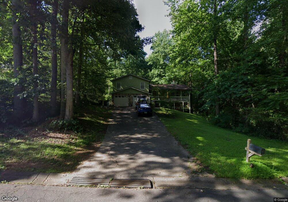
313 Westover Dr Woodstock, GA 30188
Union Hill NeighborhoodEstimated Value: $400,227 - $432,000
3
Beds
3
Baths
1,680
Sq Ft
$248/Sq Ft
Est. Value
About This Home
This home is located at 313 Westover Dr, Woodstock, GA 30188 and is currently estimated at $416,114, approximately $247 per square foot. 313 Westover Dr is a home located in Cherokee County with nearby schools including Arnold Mill Elementary School, Mill Creek Middle School, and River Ridge High School.
Ownership History
Date
Name
Owned For
Owner Type
Purchase Details
Closed on
Jul 10, 2017
Sold by
Quantum Atlanta Llc
Bought by
Pence John C
Current Estimated Value
Home Financials for this Owner
Home Financials are based on the most recent Mortgage that was taken out on this home.
Original Mortgage
$134,000
Outstanding Balance
$111,331
Interest Rate
3.89%
Mortgage Type
New Conventional
Estimated Equity
$304,783
Purchase Details
Closed on
Sep 28, 2011
Sold by
Hazen Ivan Hugh
Bought by
Quantum Atlanta Llc
Create a Home Valuation Report for This Property
The Home Valuation Report is an in-depth analysis detailing your home's value as well as a comparison with similar homes in the area
Home Values in the Area
Average Home Value in this Area
Purchase History
| Date | Buyer | Sale Price | Title Company |
|---|---|---|---|
| Pence John C | $209,000 | -- | |
| Quantum Atlanta Llc | $89,000 | -- |
Source: Public Records
Mortgage History
| Date | Status | Borrower | Loan Amount |
|---|---|---|---|
| Open | Pence John C | $134,000 |
Source: Public Records
Tax History Compared to Growth
Tax History
| Year | Tax Paid | Tax Assessment Tax Assessment Total Assessment is a certain percentage of the fair market value that is determined by local assessors to be the total taxable value of land and additions on the property. | Land | Improvement |
|---|---|---|---|---|
| 2024 | $3,441 | $134,740 | $30,000 | $104,740 |
| 2023 | $3,485 | $134,100 | $30,000 | $104,100 |
| 2022 | $3,162 | $120,300 | $23,200 | $97,100 |
| 2021 | $2,768 | $97,500 | $18,000 | $79,500 |
| 2020 | $2,556 | $89,940 | $15,200 | $74,740 |
| 2019 | $2,377 | $83,640 | $15,200 | $68,440 |
| 2018 | $2,167 | $75,800 | $15,200 | $60,600 |
| 2017 | $1,792 | $155,500 | $15,200 | $47,000 |
| 2016 | $1,663 | $142,800 | $11,200 | $45,920 |
| 2015 | $1,604 | $136,400 | $11,200 | $43,360 |
| 2014 | $1,495 | $126,900 | $11,200 | $39,560 |
Source: Public Records
Map
Nearby Homes
- 112 Sunnybrook Ln
- 806 Westover Ct
- 217 Sweetbriar Club Dr
- 120 Sweetbriar Farm Rd
- 436 Silver Brook Dr
- 499 Bishop Ln
- 102 River Marsh Ln
- 454 Silver Brook Dr
- 2875 Trickum Rd
- 0 O Hara Dr Unit 8443973
- 0 O Hara Dr Unit 6064833
- 104 River Creek Dr
- 2209 River Woods Way
- 112 River Marsh Ln
- 711 Woodbridge Dr
- 5090 Eubanks Rd
- 120 Farm Gate Dr
- 624 Arnold Mill Rd
- 313 Westover Dr
- 311 Westover Dr
- 601 Wellington Ct
- 603 Wellington Ct
- 309 Westover Dr
- 312 Westover Dr
- 310 Westover Dr Unit I
- 605 Wellington Ct
- 911 Andover Ct
- 913 Andover Ct
- 217 Windfield Dr
- 307 Westover Dr Unit 307
- 307 Westover Dr
- 317 Westover Dr
- 308 Westover Dr
- 604 Wellington Ct
- 909 Andover Ct
- 915 Andover Ct
- 702 Fairfax Ct
- 0 Wellington Ct Unit 7219245