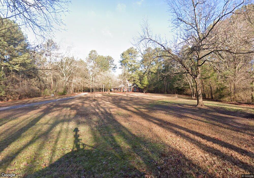
3130 Bunk Tillman Rd Monroe, GA 30656
Estimated Value: $460,000 - $778,000
Studio
--
Bath
2,643
Sq Ft
$232/Sq Ft
Est. Value
About This Home
This home is located at 3130 Bunk Tillman Rd, Monroe, GA 30656 and is currently estimated at $612,274, approximately $231 per square foot. 3130 Bunk Tillman Rd is a home located in Walton County with nearby schools including Monroe Elementary School, Carver Middle School, and Monroe Area High School.
Ownership History
Date
Name
Owned For
Owner Type
Purchase Details
Closed on
Sep 18, 2025
Sold by
Snyder Denise Lynn
Bought by
Ha Paradise Rural Llc
Current Estimated Value
Purchase Details
Closed on
Sep 26, 2016
Sold by
Denise Lynn C
Bought by
Snyde Denise Lynn and Snyder Warren A
Home Financials for this Owner
Home Financials are based on the most recent Mortgage that was taken out on this home.
Original Mortgage
$100,000
Interest Rate
3.46%
Mortgage Type
Purchase Money Mortgage
Create a Home Valuation Report for This Property
The Home Valuation Report is an in-depth analysis detailing your home's value as well as a comparison with similar homes in the area
Home Values in the Area
Average Home Value in this Area
Purchase History
| Date | Buyer | Sale Price | Title Company |
|---|---|---|---|
| Ha Paradise Rural Llc | -- | -- | |
| Snyde Denise Lynn | -- | -- |
Source: Public Records
Mortgage History
| Date | Status | Borrower | Loan Amount |
|---|---|---|---|
| Previous Owner | Snyde Denise Lynn | $100,000 |
Source: Public Records
Tax History
| Year | Tax Paid | Tax Assessment Tax Assessment Total Assessment is a certain percentage of the fair market value that is determined by local assessors to be the total taxable value of land and additions on the property. | Land | Improvement |
|---|---|---|---|---|
| 2025 | $3,260 | $263,640 | $74,840 | $188,800 |
| 2024 | $3,009 | $256,160 | $74,840 | $181,320 |
| 2023 | $2,466 | $241,360 | $71,120 | $170,240 |
| 2022 | $2,878 | $220,040 | $66,560 | $153,480 |
| 2021 | $2,544 | $172,880 | $51,720 | $121,160 |
| 2020 | $2,421 | $162,120 | $44,880 | $117,240 |
| 2019 | $2,346 | $142,880 | $39,920 | $102,960 |
| 2018 | $2,309 | $142,880 | $39,920 | $102,960 |
| 2017 | $4,824 | $140,000 | $39,920 | $100,080 |
| 2016 | $1,887 | $115,560 | $29,880 | $85,680 |
| 2015 | $1,896 | $112,840 | $31,240 | $81,600 |
| 2014 | $3,304 | $95,880 | $27,160 | $68,720 |
Source: Public Records
Map
Nearby Homes
- 1186 Emmas Path
- 970 John W Breedlove Rd
- 2891 Ike Stone Rd
- 950 John W Breedlove Rd NW
- 1393 Michael Rd NW
- 440 Mount Vernon Rd NW
- 1537 Lakeland Dr
- 1790 Michael Rd NW
- 1159 Locklin Rd
- 1811 Michael Rd
- 216 Saddle Creek Dr
- 3846 Mt Enon Church Rd
- 1849 Bradley Gin Rd
- 1650 Locklin Cemetery Rd
- 1650 & 1620 Locklin Cemetery Rd
- 1299 McLeod Estates Dr
- 305 Springtime Way
- 403 Springtime Way
- 275 Springtime Way
- 327 Springtime Way
- 3110 Bunk Tillman Rd
- 3140 Bunk Tillman Rd
- 3150 Bunk Tillman Rd
- 1453 Palmer Dr Unit 14
- 1453 Palmer Dr
- 1457 Palmer Dr Unit 15
- 1457 Palmer Dr
- 3160 Bunk Tillman Rd
- 3060 Bunk Tillman Rd
- 1449 Palmer Dr
- 1445 Palmer Dr
- 1461 Palmer Dr Unit 16
- 1461 Palmer Dr
- 3180 Bunk Tillman Rd
- 1441 Palmer Dr Unit 11
- 1441 Palmer Dr
- 1460 Palmer Dr Unit 32
- 1460 Palmer Dr
- 1465 Palmer Dr
- 1444 Palmer Dr Unit 33
Your Personal Tour Guide
Ask me questions while you tour the home.