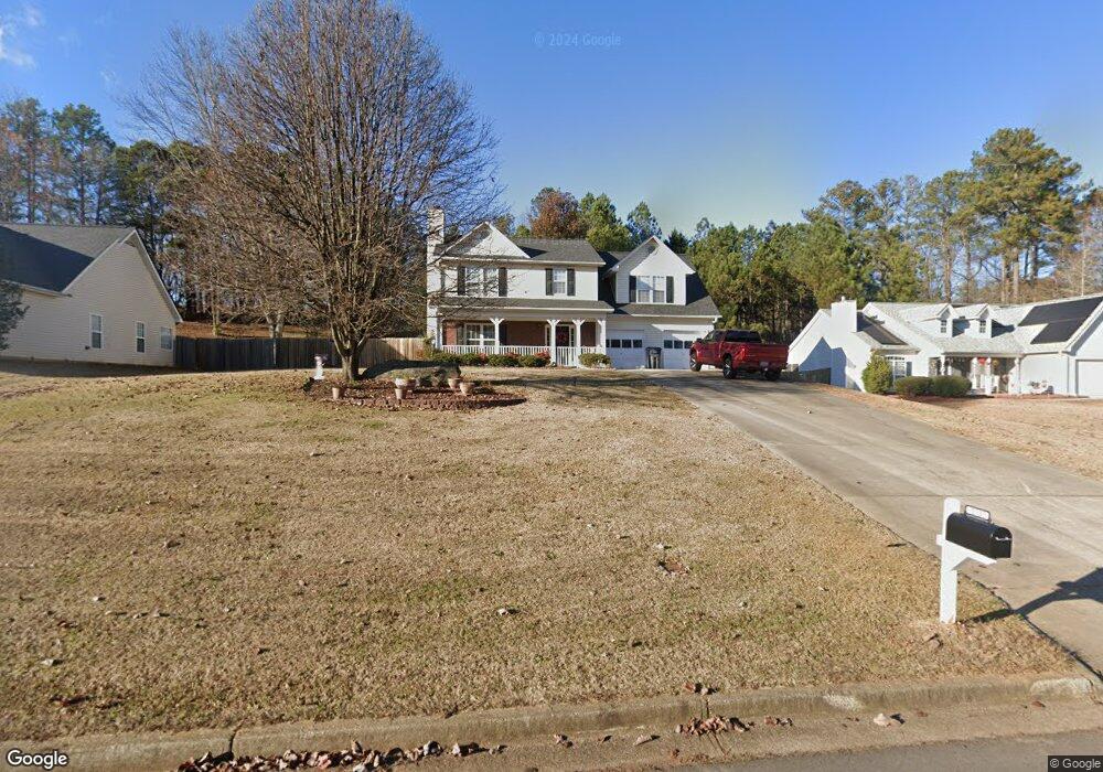
3130 Greyside Dr Buford, GA 30519
Estimated Value: $382,000 - $457,000
4
Beds
3
Baths
2,109
Sq Ft
$203/Sq Ft
Est. Value
About This Home
This home is located at 3130 Greyside Dr, Buford, GA 30519 and is currently estimated at $427,386, approximately $202 per square foot. 3130 Greyside Dr is a home located in Gwinnett County with nearby schools including Harmony Elementary School and Glenn C. Jones Middle School.
Ownership History
Date
Name
Owned For
Owner Type
Purchase Details
Closed on
Feb 20, 1998
Sold by
Mclin Construction Inc
Bought by
Paul Daniel E and Paul Anna M
Current Estimated Value
Home Financials for this Owner
Home Financials are based on the most recent Mortgage that was taken out on this home.
Original Mortgage
$115,300
Outstanding Balance
$18,373
Interest Rate
6.95%
Mortgage Type
New Conventional
Estimated Equity
$409,013
Create a Home Valuation Report for This Property
The Home Valuation Report is an in-depth analysis detailing your home's value as well as a comparison with similar homes in the area
Home Values in the Area
Average Home Value in this Area
Purchase History
| Date | Buyer | Sale Price | Title Company |
|---|---|---|---|
| Paul Daniel E | $118,900 | -- |
Source: Public Records
Mortgage History
| Date | Status | Borrower | Loan Amount |
|---|---|---|---|
| Open | Paul Daniel E | $115,300 |
Source: Public Records
Tax History
| Year | Tax Paid | Tax Assessment Tax Assessment Total Assessment is a certain percentage of the fair market value that is determined by local assessors to be the total taxable value of land and additions on the property. | Land | Improvement |
|---|---|---|---|---|
| 2025 | $1,359 | $163,640 | $32,800 | $130,840 |
| 2024 | $1,177 | $149,640 | $25,200 | $124,440 |
| 2023 | $1,177 | $149,640 | $25,200 | $124,440 |
| 2022 | $1,404 | $149,640 | $25,200 | $124,440 |
| 2021 | $390 | $89,600 | $21,160 | $68,440 |
| 2020 | $388 | $89,600 | $21,160 | $68,440 |
| 2019 | $465 | $89,600 | $21,160 | $68,440 |
| 2018 | $447 | $84,680 | $21,160 | $63,520 |
| 2016 | $371 | $65,440 | $14,800 | $50,640 |
| 2015 | $368 | $65,440 | $14,800 | $50,640 |
| 2014 | $367 | $61,960 | $14,800 | $47,160 |
Source: Public Records
Map
Nearby Homes
- 3263 N Bogan Rd NE
- 3267 N Bogan Rd NE
- 4176 Cami Way
- 3271 Meadow Lily Ct
- 3016 Sea Aster Way
- 3372 Wild Clary (Lot 69) Ct
- 4375 Easter Lily Ave
- 4679 Silver Meadow Dr
- 3236 Copper Creek Ln NE
- 3302 Stone Point Way
- 4184 Thompson Mill Rd
- 2938 Pebblebrook Dr
- 2710 Blake Towers Ln
- 3385 Stoneleigh Run Dr
- 3016 Pebblebrook Dr
- 2838 N Bogan Rd
- 3020 Pebblebrook Dr
- 2416 Loughridge Dr
- 3528 N Bogan Rd
- 5758 Hickory Wood Ln
- 3140 Greyside Dr NE Unit 24
- 3140 Greyside Dr NE
- 3140 Greyside Dr Unit 24
- 3140 Greyside Dr
- 3120 Greyside Dr
- 3150 Greyside Dr
- 3110 Greyside Dr
- 3145 Greyside Dr
- 4373 Grey Park Dr
- 3155 Greyside Dr
- 4374 Grey Park Dr
- 4363 Grey Park Dr
- 4364 Grey Park Dr
- 3105 Greyside Dr
- 3253 N Bogan Rd
- 3175 Moss Glen Ct Unit 12
- 3175 Moss Glen Ct
- 3116 Grey Park Ct
- 3106 Grey Park Ct
- 3126 Grey Park Ct
Your Personal Tour Guide
Ask me questions while you tour the home.