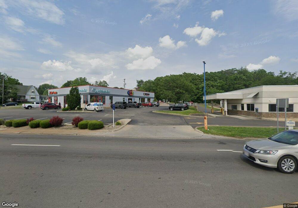
3130 Maple Ave Zanesville, OH 43701
Estimated Value: $1,769,329
--
Bed
2
Baths
7,140
Sq Ft
$248/Sq Ft
Est. Value
About This Home
This home is located at 3130 Maple Ave, Zanesville, OH 43701 and is currently estimated at $1,769,329, approximately $247 per square foot. 3130 Maple Ave is a home located in Muskingum County with nearby schools including John McIntire Elementary School, Zanesville Middle School, and Zanesville High School.
Ownership History
Date
Name
Owned For
Owner Type
Purchase Details
Closed on
Apr 10, 2019
Sold by
Yara Sayegh Michael F and Yara Jamal
Bought by
Kesco Investments Llp
Current Estimated Value
Home Financials for this Owner
Home Financials are based on the most recent Mortgage that was taken out on this home.
Original Mortgage
$255,000
Outstanding Balance
$104,168
Interest Rate
4.3%
Mortgage Type
Future Advance Clause Open End Mortgage
Estimated Equity
$1,665,161
Purchase Details
Closed on
Mar 29, 2016
Sold by
Sayegh Michael F
Bought by
Sayegh Michael F
Home Financials for this Owner
Home Financials are based on the most recent Mortgage that was taken out on this home.
Interest Rate
3.71%
Create a Home Valuation Report for This Property
The Home Valuation Report is an in-depth analysis detailing your home's value as well as a comparison with similar homes in the area
Home Values in the Area
Average Home Value in this Area
Purchase History
| Date | Buyer | Sale Price | Title Company |
|---|---|---|---|
| Kesco Investments Llp | $850,000 | None Available | |
| Sayegh Michael F | -- | -- |
Source: Public Records
Mortgage History
| Date | Status | Borrower | Loan Amount |
|---|---|---|---|
| Open | Kesco Investments Llp | $255,000 | |
| Previous Owner | Sayegh Michael F | -- |
Source: Public Records
Tax History Compared to Growth
Tax History
| Year | Tax Paid | Tax Assessment Tax Assessment Total Assessment is a certain percentage of the fair market value that is determined by local assessors to be the total taxable value of land and additions on the property. | Land | Improvement |
|---|---|---|---|---|
| 2024 | $16,008 | $359,730 | $173,810 | $185,920 |
| 2023 | $15,322 | $325,290 | $165,130 | $160,160 |
| 2022 | $15,049 | $325,290 | $165,130 | $160,160 |
| 2021 | $14,900 | $325,290 | $165,130 | $160,160 |
| 2020 | $14,962 | $325,290 | $165,130 | $160,160 |
| 2019 | $14,899 | $325,290 | $165,130 | $160,160 |
| 2018 | $14,737 | $323,750 | $165,130 | $158,620 |
| 2017 | $14,180 | $301,105 | $165,130 | $135,975 |
| 2016 | $14,437 | $301,110 | $165,130 | $135,980 |
| 2015 | $14,436 | $301,110 | $165,130 | $135,980 |
| 2013 | $15,641 | $301,110 | $165,130 | $135,980 |
Source: Public Records
Map
Nearby Homes
- 910 Orchard Hill Rd
- 875 Orchard Hill Rd
- 610 Military Rd
- 600 Military Rd
- 3250 Dale Rd
- 1106 S Slope Bay
- 0 Colony Park Ct
- 1208 Brandywine Blvd
- 1069 Terrace Ct
- 3245 Circle Ct
- 3095 E Winding Way
- 0 W Ray- 36c Dr
- 530 N Ray Dr
- 0 Leonard Ave Unit 4200634
- 801 Leonard Ave
- 0 Harding- 36b Rd
- 0 W Ray Dr
- 36C W Ray Dr
- 753 Leonard Ave
- 0 E Ray- 36a Dr
- 3122 Maple Ave
- 3118 Maple Ave
- 941 Military Rd
- 3108 Maple Ave
- 925 Military Rd
- 915 Military Rd
- 3089 Maple Ave
- 909 Military Rd
- 3066 Maple Ave
- 902 Orchard Hill Rd
- 903 Military Rd
- 3075 Maple Ave
- 1003 Beverly Ave
- 900 Orchard Hill Rd
- 870 Orchard Hill Rd
- 930 Orchard Hill Rd
- 950 Orchard Hill Rd
- 890 Orchard Hill Rd
- 851 Military Rd
- 1004 Beverly Ave