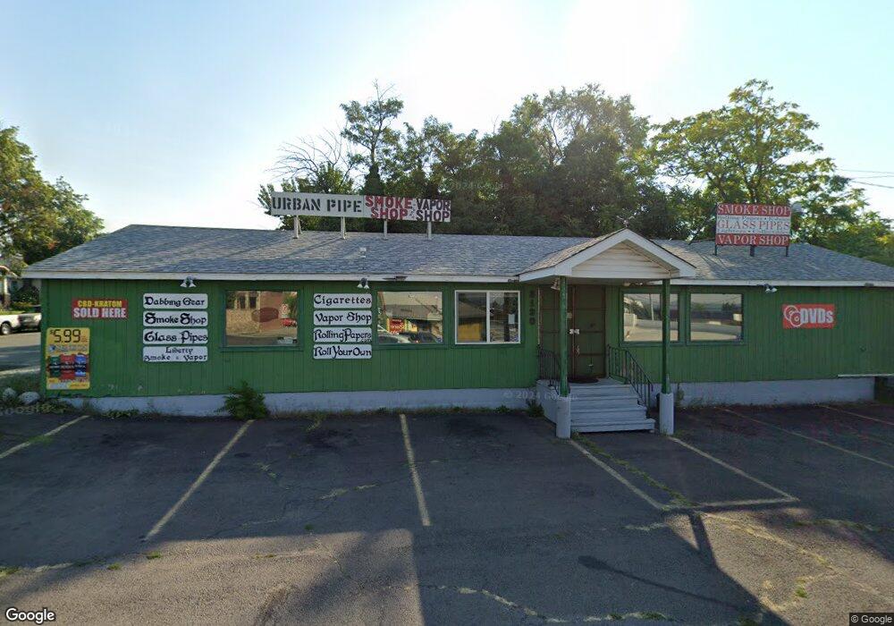
3130 N Division St Spokane, WA 99207
Nevada Lidgerwood NeighborhoodEstimated Value: $442,164
--
Bed
--
Bath
1,380
Sq Ft
$320/Sq Ft
Est. Value
About This Home
This home is located at 3130 N Division St, Spokane, WA 99207 and is currently estimated at $442,164, approximately $320 per square foot. 3130 N Division St is a home located in Spokane County with nearby schools including Willard Elementary School, Garry Middle School, and Rogers High School.
Ownership History
Date
Name
Owned For
Owner Type
Purchase Details
Closed on
Feb 8, 2024
Sold by
Westover Albert R
Bought by
Albert Westover Living Trust and Westover
Current Estimated Value
Purchase Details
Closed on
Aug 26, 2020
Sold by
Westover Ray Allen and Westover Claudia Joan
Bought by
Westover Albert R
Purchase Details
Closed on
Aug 7, 2017
Sold by
Westover Ray Allen and Westover Claudia Joan
Bought by
Westover Ray Allen and Westover Claudia Joan
Purchase Details
Closed on
Oct 22, 2012
Sold by
Vidwes Llc
Bought by
Westover Ray A and Westover Claudia J
Purchase Details
Closed on
Jul 3, 2008
Sold by
Mahar Lindsey S and Mahar Sally A
Bought by
Vidwes Llc
Home Financials for this Owner
Home Financials are based on the most recent Mortgage that was taken out on this home.
Original Mortgage
$184,000
Interest Rate
6.41%
Mortgage Type
Seller Take Back
Create a Home Valuation Report for This Property
The Home Valuation Report is an in-depth analysis detailing your home's value as well as a comparison with similar homes in the area
Home Values in the Area
Average Home Value in this Area
Purchase History
| Date | Buyer | Sale Price | Title Company |
|---|---|---|---|
| Albert Westover Living Trust | $313 | None Listed On Document | |
| Westover Albert R | $300,000 | First American Title Ins Co | |
| Westover Ray Allen | -- | None Available | |
| Westover Ray A | $200,280 | Accommodation | |
| Vidwes Llc | $224,000 | First American Title Ins Co |
Source: Public Records
Mortgage History
| Date | Status | Borrower | Loan Amount |
|---|---|---|---|
| Previous Owner | Vidwes Llc | $184,000 |
Source: Public Records
Tax History Compared to Growth
Tax History
| Year | Tax Paid | Tax Assessment Tax Assessment Total Assessment is a certain percentage of the fair market value that is determined by local assessors to be the total taxable value of land and additions on the property. | Land | Improvement |
|---|---|---|---|---|
| 2025 | $2,110 | $223,800 | $78,100 | $145,700 |
| 2024 | $2,110 | $212,100 | $78,100 | $134,000 |
| 2023 | $1,532 | $177,450 | $74,550 | $102,900 |
| 2022 | $1,698 | $155,950 | $74,550 | $81,400 |
| 2021 | $1,534 | $128,400 | $71,000 | $57,400 |
| 2020 | $1,608 | $129,700 | $71,000 | $58,700 |
| 2019 | $1,507 | $125,800 | $71,000 | $54,800 |
| 2018 | $1,616 | $115,900 | $71,000 | $44,900 |
| 2017 | $1,588 | $116,000 | $71,000 | $45,000 |
| 2016 | $1,617 | $115,600 | $71,000 | $44,600 |
| 2015 | $1,648 | $115,300 | $71,000 | $44,300 |
| 2014 | -- | $112,900 | $71,000 | $41,900 |
| 2013 | -- | $0 | $0 | $0 |
Source: Public Records
Map
Nearby Homes
- 45 E Euclid Ave
- 40 E Courtland Ave
- 118 E Dalton Ave
- 223 W Glass Ave
- 3603 N Atlantic St
- 3608 N Calispel St
- 426 E Dalton Ave
- 417 E Fairview Ave
- 417 W Euclid Ave
- 427 E Glass Ave
- 429 E Gordon Ave
- 438 W Cleveland Ave
- 538 W Park Place
- 603 E Liberty Ave
- 38 E Lacrosse Ave
- 406 W Garland Ave
- 717 W Cora Ave
- 2420 N Astor St
- 327 E Lacrosse Ave
- 415 E Carlisle Ave
- 3130& 3190 N Division St
- 3190 N Division St
- 15 E Liberty Ave
- 0 E Liberty Ave
- 20 E Liberty Ave
- 21 E Liberty Ave
- 23 E Liberty Ave
- 22 E Liberty Ave
- 27 E Dalton Ave
- 29 E Dalton Ave
- 27 E Liberty Ave
- 14 E Bridgeport Ave
- 24 E Liberty Ave
- 20 E Bridgeport Ave
- 33 E Liberty Ave
- 0 Dalton Rd & Country Hills
- 0000 E Dalton Ave
- 0 E Dalton Ave
- 00 E Dalton Ave
- 24 E Bridgeport Ave