31300 W 191st St S Bristow, OK 74010
Estimated Value: $216,000 - $424,196
3
Beds
2
Baths
1,637
Sq Ft
$196/Sq Ft
Est. Value
About This Home
This home is located at 31300 W 191st St S, Bristow, OK 74010 and is currently estimated at $320,098, approximately $195 per square foot. 31300 W 191st St S is a home located in Creek County with nearby schools including Edison Elementary School, Collins Elementary School, and Bristow Middle School.
Ownership History
Date
Name
Owned For
Owner Type
Purchase Details
Closed on
Jan 19, 2022
Sold by
Beasler Ii Alfred M and Beasler Robin R
Bought by
Oklahoma Turnpike Authority
Current Estimated Value
Purchase Details
Closed on
Jul 6, 1993
Sold by
O'Neal Tracy
Bought by
Beasler Ii Alfred M and Beasler Robin R
Create a Home Valuation Report for This Property
The Home Valuation Report is an in-depth analysis detailing your home's value as well as a comparison with similar homes in the area
Home Values in the Area
Average Home Value in this Area
Purchase History
| Date | Buyer | Sale Price | Title Company |
|---|---|---|---|
| Oklahoma Turnpike Authority | -- | First American Title | |
| Beasler Ii Alfred M | $55,500 | -- |
Source: Public Records
Tax History Compared to Growth
Tax History
| Year | Tax Paid | Tax Assessment Tax Assessment Total Assessment is a certain percentage of the fair market value that is determined by local assessors to be the total taxable value of land and additions on the property. | Land | Improvement |
|---|---|---|---|---|
| 2025 | $1,333 | $14,548 | $2,050 | $12,498 |
| 2024 | $1,290 | $14,124 | $2,050 | $12,074 |
| 2023 | $1,290 | $13,713 | $2,050 | $11,663 |
| 2022 | $1,177 | $13,314 | $2,388 | $10,926 |
| 2021 | $1,145 | $12,926 | $2,370 | $10,556 |
| 2020 | $1,070 | $12,550 | $2,310 | $10,240 |
| 2019 | $1,045 | $12,184 | $2,256 | $9,928 |
| 2018 | $1,005 | $11,485 | $2,156 | $9,329 |
| 2017 | $976 | $11,150 | $2,102 | $9,048 |
| 2016 | $958 | $10,825 | $2,050 | $8,775 |
| 2015 | -- | $10,511 | $2,000 | $8,511 |
| 2014 | -- | $10,204 | $1,951 | $8,253 |
Source: Public Records
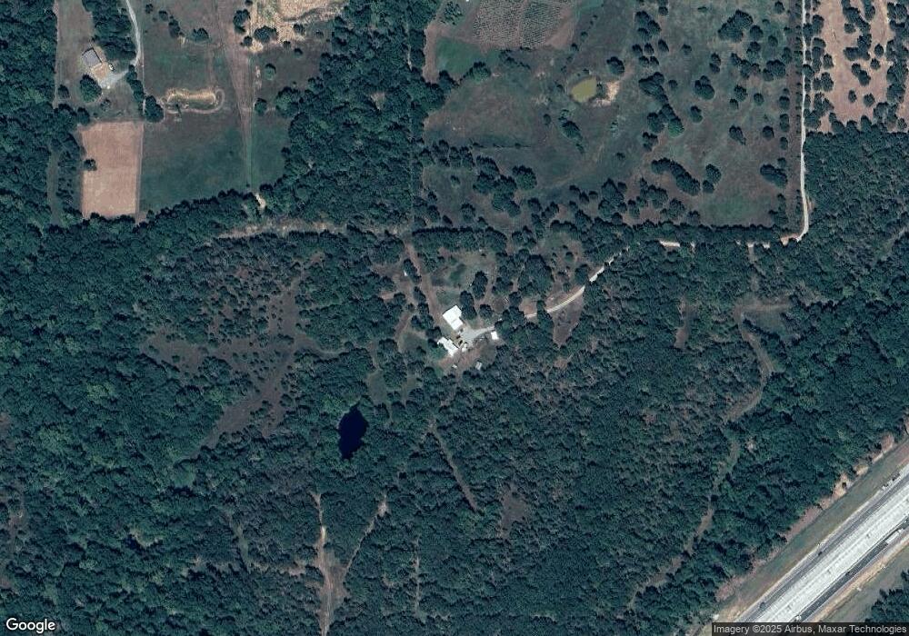
Map
Nearby Homes
- 19619 S 337th West Ave
- 32109 W Highway 66
- 18694 S 340 Ave W
- 17504 S 327th West Ave
- 0 W 181st St S Unit 2539521
- West 211th St S
- 51499 W Highway 66
- 41377 W Highway 66
- 00 S 369th West Ave
- 28520 W 166th St S
- 137 E 11th Ave
- 34335 W Highway 16
- 619 E 6th Ave
- 302 E 8th Ave
- 16605 State Highway 48
- 0 State Highway 48
- 608 N Elm St
- 610 E 4th Ave
- 106 N Main St
- 611 S Cedar St