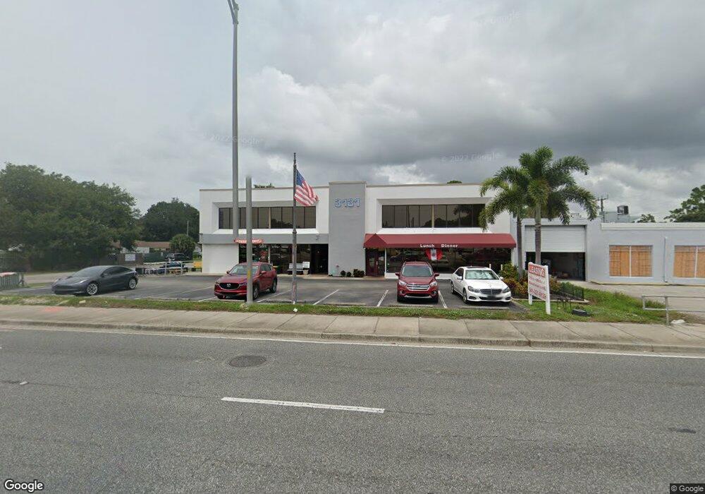
3131 Clark Rd Unit 203 Sarasota, FL 34231
Estimated Value: $1,568,042
--
Bed
8
Baths
6,799
Sq Ft
$231/Sq Ft
Est. Value
About This Home
This home is located at 3131 Clark Rd Unit 203, Sarasota, FL 34231 and is currently estimated at $1,568,042, approximately $230 per square foot. 3131 Clark Rd Unit 203 is a home located in Sarasota County with nearby schools including Gulf Gate Elementary School, Riverview High School, and Brookside Middle School.
Ownership History
Date
Name
Owned For
Owner Type
Purchase Details
Closed on
Oct 6, 2017
Sold by
Ihh Holdings Llc
Bought by
Suncoast Investments Group Llc
Current Estimated Value
Home Financials for this Owner
Home Financials are based on the most recent Mortgage that was taken out on this home.
Original Mortgage
$700,000
Outstanding Balance
$168,681
Interest Rate
3.83%
Mortgage Type
Commercial
Estimated Equity
$1,399,362
Purchase Details
Closed on
Dec 29, 1997
Sold by
Villa Desanto Inc
Bought by
Amalfi West Ltd
Create a Home Valuation Report for This Property
The Home Valuation Report is an in-depth analysis detailing your home's value as well as a comparison with similar homes in the area
Home Values in the Area
Average Home Value in this Area
Purchase History
| Date | Buyer | Sale Price | Title Company |
|---|---|---|---|
| Suncoast Investments Group Llc | $875,000 | Integrity Title Services | |
| Amalfi West Ltd | $409,200 | -- |
Source: Public Records
Mortgage History
| Date | Status | Borrower | Loan Amount |
|---|---|---|---|
| Open | Suncoast Investments Group Llc | $700,000 |
Source: Public Records
Tax History Compared to Growth
Tax History
| Year | Tax Paid | Tax Assessment Tax Assessment Total Assessment is a certain percentage of the fair market value that is determined by local assessors to be the total taxable value of land and additions on the property. | Land | Improvement |
|---|---|---|---|---|
| 2024 | $13,655 | $954,726 | -- | -- |
| 2023 | $13,655 | $1,144,300 | $496,700 | $647,600 |
| 2022 | $12,233 | $1,003,300 | $397,300 | $606,000 |
| 2021 | $10,244 | $717,300 | $251,700 | $465,600 |
| 2020 | $11,030 | $766,700 | $251,700 | $515,000 |
| 2019 | $11,021 | $770,900 | $251,700 | $519,200 |
| 2018 | $10,648 | $739,900 | $251,700 | $488,200 |
| 2017 | $11,021 | $756,300 | $251,700 | $504,600 |
| 2016 | $9,201 | $659,100 | $241,900 | $417,200 |
| 2015 | $8,399 | $564,100 | $225,800 | $338,300 |
| 2014 | $7,535 | $493,500 | $0 | $0 |
Source: Public Records
Map
Nearby Homes
- 5672 Lockwood Ridge Rd
- 5643 Murdock Ave
- 5753 Summer Side Ln Unit 8A
- 5617 Olive Ave
- 3231 Yorktown St
- 3310 Lexington St
- 5639 Blount Ave
- 5736 Ashton Lake Dr Unit 8
- 5657 Westwind Ln
- 5635 Ashton Lake Dr Unit 4
- 5685 Ashton Lake Dr Unit 2
- 2938 Clark Rd Unit 103
- 3263 Woodberry Ln Unit LOT 15
- 3413 Clark Rd Unit 114
- 3411 Clark Rd Unit 212
- 3457 Clark Rd Unit 156
- 3040 New England St
- 3405 Clark Rd Unit 205
- 3403 Clark Rd Unit 203
- 3423 Clark Rd Unit 124
- 3131 Clark Rd
- 3131 Clark Rd Unit 101
- 3155 Clark Rd
- 5727 Olive Ave Unit 2
- 5734 Olive Ave
- 5726 Olive Ave
- 5723 Olive Ave
- 5736 Olive Ave
- 5734 S Lockwood Ridge Rd
- 5722 Olive Ave
- 5725 Murdock Ave
- 5715 Olive Ave
- 5722 S Lockwood Ridge Rd
- 5716 Olive Ave
- 5719 Murdock Ave
- 5859 Olive Ave
- 5859 Olive Ave Unit 58
- 5711 Olive Ave
- 3175 Lexington St
- 5850 Olive Ave Unit 58