3131 Duffield Rd Unit Bldg-Unit Flushing, MI 48433
Estimated Value: $434,000 - $507,000
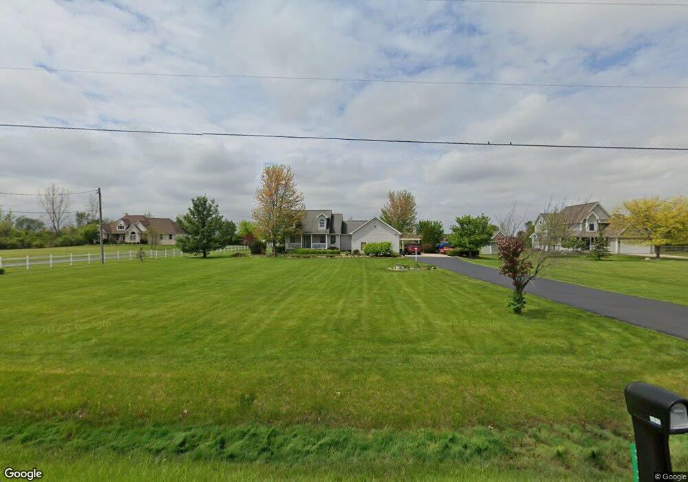
About This Home
This home is located at 3131 Duffield Rd Unit Bldg-Unit, Flushing, MI 48433 and is currently estimated at $462,581, approximately $224 per square foot. 3131 Duffield Rd Unit Bldg-Unit is a home located in Genesee County with nearby schools including Seymour Elementary School, Flushing Middle School, and Flushing High School.
Ownership History
We collect this data history from publicly available records. To have your information removed, we recommend requesting removal directly through your county’s website.
Purchase Details
Purchase Details
Purchase Details
Purchase Details
Home Values in the Area
Average Home Value in this Area
Purchase History
We collect this data history from publicly available records. To have your information removed, we recommend requesting removal directly through your county’s website.
| Date | Buyer | Sale Price | Title Company |
|---|---|---|---|
| $262,500 | Multiple | ||
| -- | -- | ||
| $222,000 | Guaranty Title Company | ||
| $25,000 | Guaranty Title Company |
Tax History
We collect this data history from publicly available records. To have your information removed, we recommend requesting removal directly through your county’s website.
| Year | Tax Paid | Tax Assessment Tax Assessment Total Assessment is a certain percentage of the fair market value that is determined by local assessors to be the total taxable value of land and additions on the property. | Land | Improvement |
|---|---|---|---|---|
| 2025 | $3,112 | $208,900 | $0 | $0 |
| 2024 | $3,030 | $207,600 | $0 | $0 |
| 2023 | $2,892 | $186,300 | $0 | $0 |
| 2022 | $4,947 | $165,600 | $0 | $0 |
| 2021 | $4,843 | $154,300 | $0 | $0 |
| 2020 | $2,691 | $146,300 | $0 | $0 |
| 2019 | $2,662 | $134,500 | $0 | $0 |
| 2018 | $3,680 | $111,900 | $0 | $0 |
| 2017 | $1,898 | $111,900 | $0 | $0 |
| 2016 | $3,361 | $110,400 | $0 | $0 |
| 2015 | $3,196 | $109,000 | $0 | $0 |
| 2014 | $1,868 | $103,600 | $0 | $0 |
| 2012 | -- | $97,800 | $97,800 | $0 |
Map
- 11345 Potter Rd
- 3314 Dillon Rd
- 4240 Sheridan Rd
- 11358 W Carpenter Rd Rd
- 6017 W Pierson Rd
- 000 Potter Rd
- 241 Aberdeen Ct Unit 11 bldg 6
- 1136 S Nichols Rd
- 524 Winters Eave
- 0 Winters Eave Dr Unit 50117986
- 227 Emily St
- 405 Terrace Dr
- 527 Spring Ln
- 604 Somerset Dr
- 0 W Pierson Rd Unit 50141989
- 0 E River Rd Unit 50180952
- 9800 Juddville Rd
- 324 George St
- 5255 N Seymour Rd
- 218 S Cherry St
- 3131 Duffield Rd
- 3147 Duffield Rd
- 3115 Duffield Rd
- 3163 Duffield Rd
- 3185 Duffield Rd
- 3191 Duffield Rd
- 3209 Duffield Rd
- 3204 Duffield Rd
- 3204 Duffield Rd
- 11522 Potter Rd
- 3253 Duffield Rd
- 12068 Potter Rd
- 3290 Duffield Rd
- 3254 Duffield Rd
- 3254 Duffield Rd
- 3275 Duffield Rd
- 12140 Potter Rd
- 3278 Duffield Rd
- 3278 Duffield Rd
- 3301 Duffield Rd
Ask me questions while you tour the home.