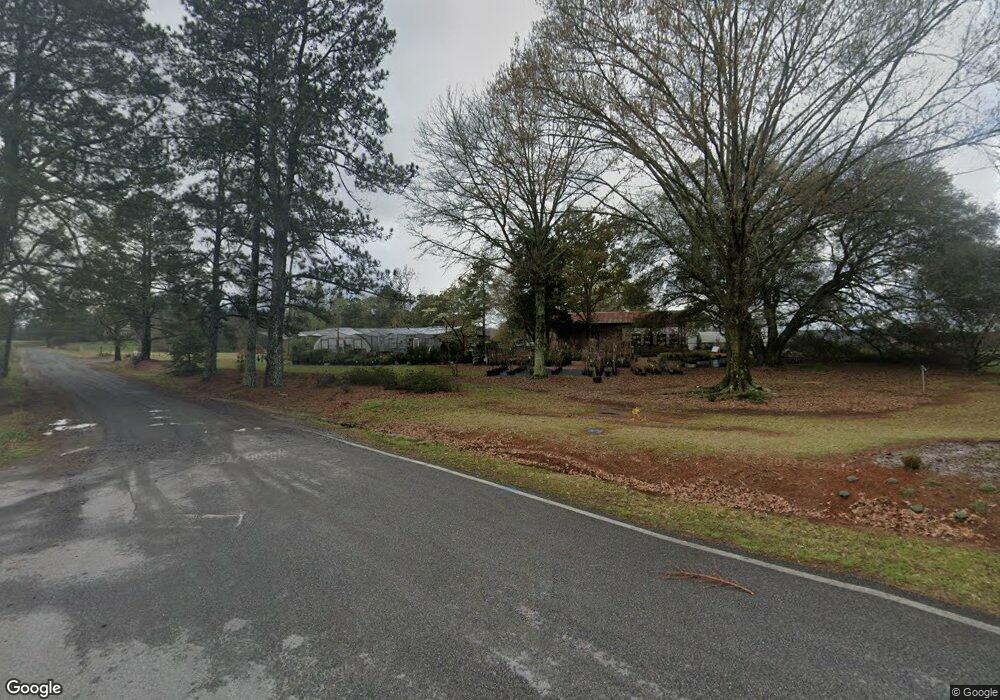
3131 Highway 41 S Forsyth, GA 31029
Estimated Value: $308,000 - $364,063
3
Beds
3
Baths
1,962
Sq Ft
$168/Sq Ft
Est. Value
About This Home
This home is located at 3131 Highway 41 S, Forsyth, GA 31029 and is currently estimated at $329,688, approximately $168 per square foot. 3131 Highway 41 S is a home located in Monroe County with nearby schools including T.G. Scott Elementary School, Mary Persons High School, and Monroe Academy.
Ownership History
Date
Name
Owned For
Owner Type
Purchase Details
Closed on
Jan 16, 2025
Sold by
Woodward Deborah A
Bought by
Woodward Patricia Lane
Current Estimated Value
Purchase Details
Closed on
Nov 12, 2018
Sold by
Woodward Joann B
Bought by
Vento Woodward Dale A and Vento Woodward Barbara
Purchase Details
Closed on
Jan 22, 2010
Sold by
Woodward Garnett L
Bought by
Woodward Joann B
Purchase Details
Closed on
Jan 1, 1901
Bought by
Woodward G L
Create a Home Valuation Report for This Property
The Home Valuation Report is an in-depth analysis detailing your home's value as well as a comparison with similar homes in the area
Home Values in the Area
Average Home Value in this Area
Purchase History
| Date | Buyer | Sale Price | Title Company |
|---|---|---|---|
| Woodward Patricia Lane | -- | -- | |
| Vento Woodward Dale A | -- | -- | |
| Woodward Thomas C | -- | -- | |
| Woodward Joann B | -- | -- | |
| Woodward G L | -- | -- |
Source: Public Records
Tax History Compared to Growth
Tax History
| Year | Tax Paid | Tax Assessment Tax Assessment Total Assessment is a certain percentage of the fair market value that is determined by local assessors to be the total taxable value of land and additions on the property. | Land | Improvement |
|---|---|---|---|---|
| 2024 | $841 | $137,640 | $89,600 | $48,040 |
| 2023 | $800 | $133,200 | $89,600 | $43,600 |
| 2022 | $668 | $133,200 | $89,600 | $43,600 |
| 2021 | $684 | $133,200 | $89,600 | $43,600 |
| 2020 | $174 | $115,080 | $89,600 | $25,480 |
| 2019 | $169 | $115,080 | $89,600 | $25,480 |
| 2018 | $495 | $174,040 | $148,560 | $25,480 |
| 2017 | $5,058 | $174,040 | $148,560 | $25,480 |
| 2016 | $440 | $174,040 | $148,560 | $25,480 |
| 2015 | $402 | $174,040 | $0 | $0 |
| 2014 | $437 | $174,040 | $148,560 | $25,480 |
Source: Public Records
Map
Nearby Homes
- 0 Old Rumble Rd
- TRACTS 1 & 5 Old Rumble Rd
- TRACTS 2-4 Old Rumble Rd
- 1550 Charlie Benson Rd
- Lot 27-A-1 Creekside Trail
- Lot 26-A-2 Creekside Trail
- Lot 26-A-1 Creekside Trail
- 905 Natures Trail
- Lot 15-A-1 Creekside Ln
- 14 Oak Valley Dr
- Lot 15-A-2 Creekside Ln
- 22 Rabon Dr
- 122 Laurel Ridge
- LOT 13 Creekside Ln
- 350 Lee King Rd
- 14 Creekside Ct
- 14 Creekside Ct
- 3025 Highway 41 S
- 121 King Rd
- 3128 Old MacOn Rd
- 301 Rumble Rd
- 18 Rumble Rd
- 188 Rumble Rd
- 349 Rumble Rd
- 367 Rumble Rd
- 3388 Old MacOn Rd
- 350 Rumble Rd
- 385 Rumble Rd
- 3398 Old MacOn Rd
- 2957 Highway 41 S
- 399 Rumble Rd
- 3434 Old MacOn Rd
- 462 Rumble Rd
- 439 Rumble Rd
- 66 Rumble Rd
- Lot 19 King Rd Unit 19
- 33 Bolingridge Dr