3131 N the Pacific Ln Springfield, MO 65802
Estimated Value: $604,264 - $709,000
5
Beds
3
Baths
3,566
Sq Ft
$180/Sq Ft
Est. Value
About This Home
This home is located at 3131 N the Pacific Ln, Springfield, MO 65802 and is currently estimated at $640,566, approximately $179 per square foot. 3131 N the Pacific Ln is a home located in Greene County with nearby schools including Willard Central Elementary School, Willard Intermediate School North, and Willard High School.
Ownership History
Date
Name
Owned For
Owner Type
Purchase Details
Closed on
Dec 5, 2008
Sold by
Bushong Evelyn
Bought by
Scott Mark and Scott Heather
Current Estimated Value
Home Financials for this Owner
Home Financials are based on the most recent Mortgage that was taken out on this home.
Original Mortgage
$15,000
Outstanding Balance
$9,843
Interest Rate
5.99%
Mortgage Type
Future Advance Clause Open End Mortgage
Estimated Equity
$630,723
Purchase Details
Closed on
Aug 21, 2006
Sold by
Propst Kelli
Bought by
Scott Mark and Scott Heather
Home Financials for this Owner
Home Financials are based on the most recent Mortgage that was taken out on this home.
Original Mortgage
$286,000
Interest Rate
7.12%
Mortgage Type
Adjustable Rate Mortgage/ARM
Create a Home Valuation Report for This Property
The Home Valuation Report is an in-depth analysis detailing your home's value as well as a comparison with similar homes in the area
Home Values in the Area
Average Home Value in this Area
Purchase History
| Date | Buyer | Sale Price | Title Company |
|---|---|---|---|
| Scott Mark | -- | None Available | |
| Scott Mark | -- | Southwest Missouri Title Com | |
| Propst Kelli | -- | Southwest Missouri Title Com |
Source: Public Records
Mortgage History
| Date | Status | Borrower | Loan Amount |
|---|---|---|---|
| Open | Scott Mark | $15,000 | |
| Previous Owner | Propst Kelli | $286,000 |
Source: Public Records
Tax History Compared to Growth
Tax History
| Year | Tax Paid | Tax Assessment Tax Assessment Total Assessment is a certain percentage of the fair market value that is determined by local assessors to be the total taxable value of land and additions on the property. | Land | Improvement |
|---|---|---|---|---|
| 2025 | $3,336 | $65,100 | $9,560 | $55,540 |
| 2024 | $3,336 | $57,990 | $6,710 | $51,280 |
| 2023 | $3,324 | $57,990 | $6,710 | $51,280 |
| 2022 | $2,934 | $52,440 | $6,710 | $45,730 |
| 2021 | $2,933 | $52,440 | $6,710 | $45,730 |
| 2020 | $2,589 | $45,470 | $6,710 | $38,760 |
| 2019 | $2,574 | $45,470 | $6,710 | $38,760 |
| 2018 | $2,501 | $43,700 | $6,710 | $36,990 |
| 2017 | $2,481 | $43,700 | $6,710 | $36,990 |
| 2016 | $2,469 | $43,700 | $6,710 | $36,990 |
| 2015 | $2,450 | $43,700 | $6,710 | $36,990 |
| 2014 | $2,469 | $43,690 | $6,700 | $36,990 |
Source: Public Records
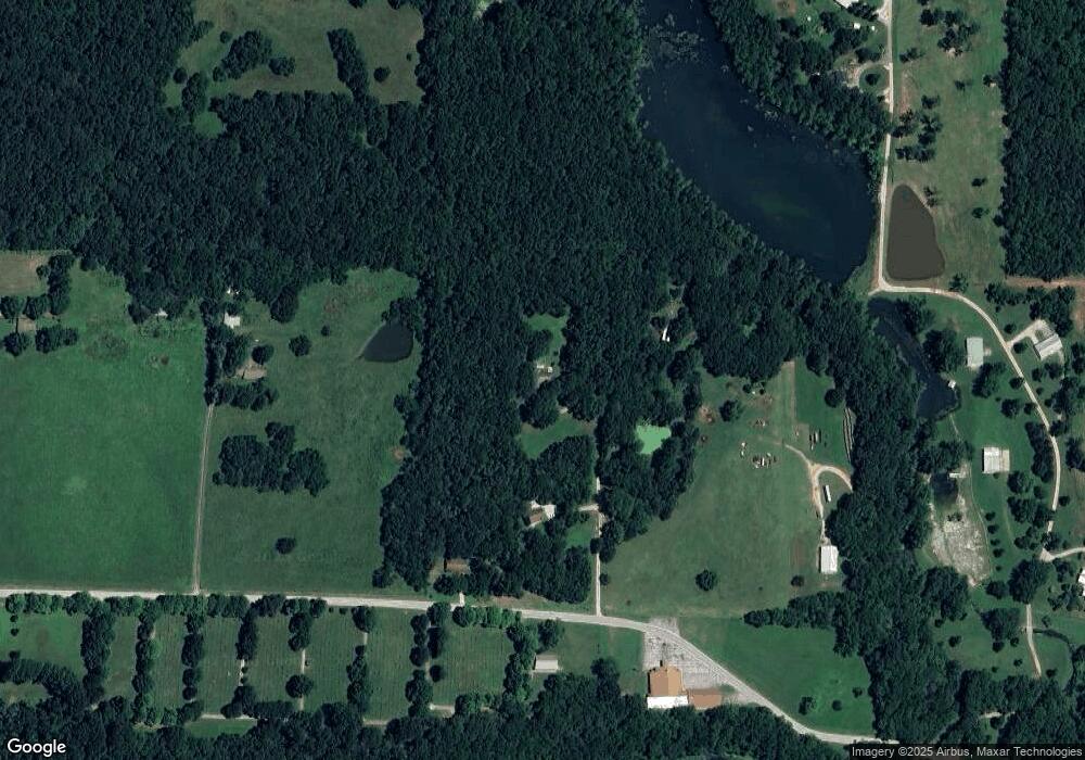
Map
Nearby Homes
- 7047 W Lone Oak St
- 6919 W Lone Oak St
- 2548 Arrow Ln N
- 6984 W Cottonwood Rd
- 11550 N Farm Road 101
- 7906 W Farm Road 94
- 000 W Farm Road 94
- 7546 Persimmon Ct
- 2007 N Farm Road 89
- 2506 N Meadow Lake Dr
- 2571 N Honeysuckle Way
- 2588 N Farm Road 103
- 7593 W Farm Road 124
- 000-Trct 4 N Farm Road 89
- 000-Trct 3 N Farm Road 89
- 6092 W Farm Road 114
- 825 Pershing St
- 303 E Hughes Rd
- 305 Hughes Rd
- 831 S Miller Rd
- 3131 N Pacific Ln
- 3091 N the Pacific Ln
- 7691 W Farm Road 108
- 7801 W Farm Road 108
- 3256 N Chevy Ln
- 3444 N Chevy Ln
- 3054 N Chevy Ln
- 2986 N Farm Road 97
- 0 N Farm Road 93 Unit 10802935
- 0 N Farm Road 93 Unit 10802934
- 0 N Farm Road 93 Unit 10812316
- Tbd N Farm Road 93
- 0 N Farm Road 93
- 2958 N Farm Road 97
- 3117 N Farm Road 93
- 3055 N Farm Road 93
- 7926 W Farm Road 106
- 3029 N Farm Road 93
- 2882 N Farm Road 93
- 2900 N Farm Road 97