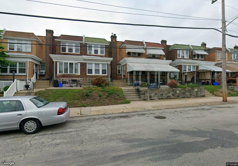
3131 Unruh Ave Philadelphia, PA 19149
Mayfair NeighborhoodEstimated Value: $255,000 - $281,000
3
Beds
2
Baths
1,320
Sq Ft
$200/Sq Ft
Est. Value
About This Home
This home is located at 3131 Unruh Ave, Philadelphia, PA 19149 and is currently estimated at $263,979, approximately $199 per square foot. 3131 Unruh Ave is a home located in Philadelphia County with nearby schools including Lincoln High School, Mayfair Elementary School, and Blessed Trinity Regional Catholic School.
Ownership History
Date
Name
Owned For
Owner Type
Purchase Details
Closed on
Jan 29, 2010
Sold by
Estate Of Anthony H Gasiorowski
Bought by
Perazzo Michael
Current Estimated Value
Home Financials for this Owner
Home Financials are based on the most recent Mortgage that was taken out on this home.
Original Mortgage
$132,554
Outstanding Balance
$87,816
Interest Rate
5.05%
Mortgage Type
FHA
Estimated Equity
$176,163
Create a Home Valuation Report for This Property
The Home Valuation Report is an in-depth analysis detailing your home's value as well as a comparison with similar homes in the area
Home Values in the Area
Average Home Value in this Area
Purchase History
| Date | Buyer | Sale Price | Title Company |
|---|---|---|---|
| Perazzo Michael | $135,000 | None Available |
Source: Public Records
Mortgage History
| Date | Status | Borrower | Loan Amount |
|---|---|---|---|
| Open | Perazzo Michael | $132,554 |
Source: Public Records
Tax History Compared to Growth
Tax History
| Year | Tax Paid | Tax Assessment Tax Assessment Total Assessment is a certain percentage of the fair market value that is determined by local assessors to be the total taxable value of land and additions on the property. | Land | Improvement |
|---|---|---|---|---|
| 2025 | $3,032 | $256,800 | $51,360 | $205,440 |
| 2024 | $3,032 | $256,800 | $51,360 | $205,440 |
| 2023 | $3,032 | $216,600 | $43,320 | $173,280 |
| 2022 | $1,573 | $171,600 | $43,320 | $128,280 |
| 2021 | $2,203 | $0 | $0 | $0 |
| 2020 | $2,203 | $0 | $0 | $0 |
| 2019 | $2,114 | $0 | $0 | $0 |
| 2018 | $1,900 | $0 | $0 | $0 |
| 2017 | $1,900 | $0 | $0 | $0 |
| 2016 | $1,480 | $0 | $0 | $0 |
| 2015 | $1,416 | $0 | $0 | $0 |
| 2014 | -- | $135,700 | $28,230 | $107,470 |
| 2012 | -- | $17,248 | $2,302 | $14,946 |
Source: Public Records
Map
Nearby Homes
- 3129 Fanshawe St
- 3125 Magee Ave
- 3139 Magee Ave
- 3202 Unruh Ave
- 3111 Gilham St
- 3228 Magee Ave
- 3127 Knorr St
- 3015 Rawle St
- 3013 Gilham St
- 4805 11 Rawle St
- 3118 Hellerman St
- 3038 Hellerman St
- 3107 Glenview St
- 6524 Battersby St
- 4016 Gilham St
- 2943 Knorr St
- 4019 Hellerman St
- 4917 Charles St
- 4107 Greeby St
- 2923 Knorr St