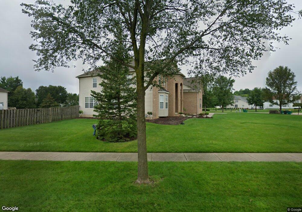
3132 Abrams Dr Twinsburg, OH 44087
Estimated Value: $629,390 - $716,000
4
Beds
4
Baths
4,078
Sq Ft
$168/Sq Ft
Est. Value
About This Home
This home is located at 3132 Abrams Dr, Twinsburg, OH 44087 and is currently estimated at $683,598, approximately $167 per square foot. 3132 Abrams Dr is a home located in Summit County with nearby schools including Wilcox Primary School, Dodge Intermediate School, and Samuel Bissell Elementary School.
Ownership History
Date
Name
Owned For
Owner Type
Purchase Details
Closed on
Mar 29, 2006
Sold by
Morley David T and Morley Nora
Bought by
Davis Marco and Davis Kim L
Current Estimated Value
Home Financials for this Owner
Home Financials are based on the most recent Mortgage that was taken out on this home.
Original Mortgage
$220,000
Outstanding Balance
$126,572
Interest Rate
6.38%
Mortgage Type
Fannie Mae Freddie Mac
Estimated Equity
$557,026
Purchase Details
Closed on
May 22, 2002
Sold by
Kimball Hill Abrams Farm Ltd
Bought by
Morley David T
Home Financials for this Owner
Home Financials are based on the most recent Mortgage that was taken out on this home.
Original Mortgage
$387,153
Outstanding Balance
$163,710
Interest Rate
6.95%
Mortgage Type
Purchase Money Mortgage
Estimated Equity
$519,888
Create a Home Valuation Report for This Property
The Home Valuation Report is an in-depth analysis detailing your home's value as well as a comparison with similar homes in the area
Home Values in the Area
Average Home Value in this Area
Purchase History
| Date | Buyer | Sale Price | Title Company |
|---|---|---|---|
| Davis Marco | $496,900 | Revere Title Agency Inc | |
| Morley David T | $430,170 | Affiliated Title |
Source: Public Records
Mortgage History
| Date | Status | Borrower | Loan Amount |
|---|---|---|---|
| Open | Davis Marco | $220,000 | |
| Open | Morley David T | $387,153 |
Source: Public Records
Tax History
| Year | Tax Paid | Tax Assessment Tax Assessment Total Assessment is a certain percentage of the fair market value that is determined by local assessors to be the total taxable value of land and additions on the property. | Land | Improvement |
|---|---|---|---|---|
| 2024 | $9,944 | $206,602 | $38,448 | $168,154 |
| 2023 | $9,944 | $206,602 | $38,448 | $168,154 |
| 2022 | $8,032 | $148,873 | $27,661 | $121,212 |
| 2021 | $8,070 | $148,873 | $27,661 | $121,212 |
| 2020 | $7,827 | $148,870 | $27,660 | $121,210 |
| 2019 | $8,760 | $155,700 | $32,090 | $123,610 |
| 2018 | $8,584 | $155,700 | $32,090 | $123,610 |
| 2017 | $7,584 | $155,700 | $32,090 | $123,610 |
| 2016 | $7,538 | $145,810 | $32,090 | $113,720 |
| 2015 | $7,584 | $145,810 | $32,090 | $113,720 |
| 2014 | $7,569 | $145,810 | $32,090 | $113,720 |
| 2013 | $7,633 | $147,170 | $32,090 | $115,080 |
Source: Public Records
Map
Nearby Homes
- 3163 Darien Ln
- 9864 Burton Dr
- 9717 Firelands Dr
- 2933 Cannon Rd Unit 2937
- 3564 Shady Timber Dr
- 9622 Ravenna Rd
- 9614 Ravenna Rd
- 2551 Edgebrook Crossing Unit 71
- 2541 Redtail Ct Unit 33
- 3659 Shady Timber Dr
- 2975 Waterford Dr Unit 5
- 10137 Tradewinds Cove
- 2472 Warren Pkwy Unit 20
- 2609 E Aurora Rd
- 3082 Willowbrook Dr
- 10265 Beaver Trail
- 3624 Nautilus Trail
- 2269 Sherwin Dr
- 10194 Corbetts Ln
- 2027 Meadowood Blvd
Your Personal Tour Guide
Ask me questions while you tour the home.