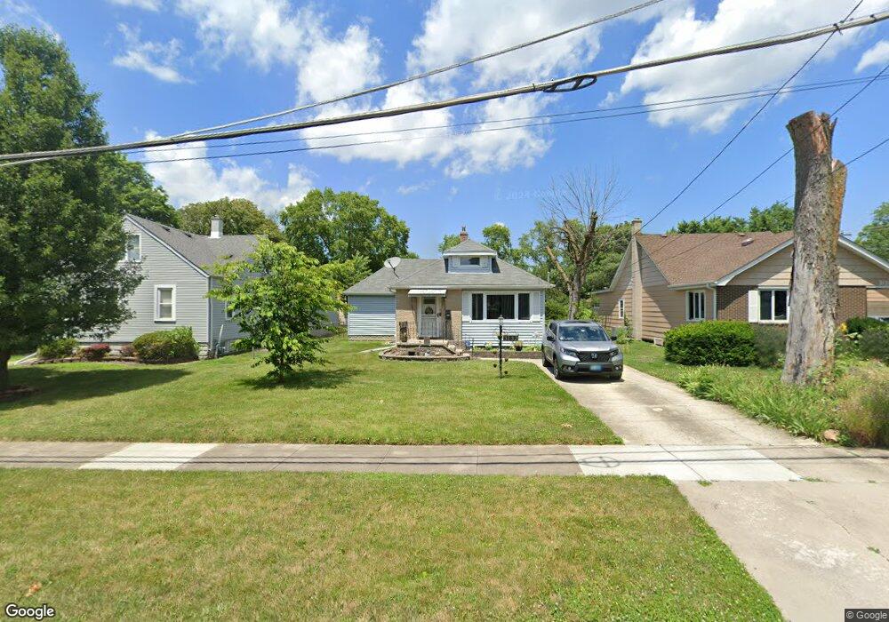
3132 Illinois St Lansing, IL 60438
Estimated Value: $180,000 - $213,000
2
Beds
2
Baths
1,220
Sq Ft
$160/Sq Ft
Est. Value
About This Home
This home is located at 3132 Illinois St, Lansing, IL 60438 and is currently estimated at $195,509, approximately $160 per square foot. 3132 Illinois St is a home located in Cook County with nearby schools including Coolidge Elementary School, Memorial Jr High School, and Thornton Fractnl So High School.
Ownership History
Date
Name
Owned For
Owner Type
Purchase Details
Closed on
Jan 25, 2012
Sold by
Livi Vajgrt Jean
Bought by
Vandermolen Katherine
Current Estimated Value
Home Financials for this Owner
Home Financials are based on the most recent Mortgage that was taken out on this home.
Original Mortgage
$64,326
Outstanding Balance
$43,496
Interest Rate
3.62%
Mortgage Type
FHA
Estimated Equity
$152,013
Purchase Details
Closed on
May 30, 2000
Sold by
Erickson Merlyn S
Bought by
Livi Erickson Merlyn and Merlyn Erickson Revocable Living Trust
Create a Home Valuation Report for This Property
The Home Valuation Report is an in-depth analysis detailing your home's value as well as a comparison with similar homes in the area
Home Values in the Area
Average Home Value in this Area
Purchase History
| Date | Buyer | Sale Price | Title Company |
|---|---|---|---|
| Vandermolen Katherine | $66,000 | Chicago Title Insurance Co | |
| Livi Erickson Merlyn | -- | -- |
Source: Public Records
Mortgage History
| Date | Status | Borrower | Loan Amount |
|---|---|---|---|
| Open | Vandermolen Katherine | $64,326 |
Source: Public Records
Tax History Compared to Growth
Tax History
| Year | Tax Paid | Tax Assessment Tax Assessment Total Assessment is a certain percentage of the fair market value that is determined by local assessors to be the total taxable value of land and additions on the property. | Land | Improvement |
|---|---|---|---|---|
| 2024 | $4,540 | $12,700 | $3,591 | $9,109 |
| 2023 | $3,700 | $12,700 | $3,591 | $9,109 |
| 2022 | $3,700 | $9,115 | $3,169 | $5,946 |
| 2021 | $3,656 | $9,113 | $3,168 | $5,945 |
| 2020 | $3,526 | $9,113 | $3,168 | $5,945 |
| 2019 | $3,762 | $10,037 | $2,957 | $7,080 |
| 2018 | $3,689 | $10,037 | $2,957 | $7,080 |
| 2017 | $3,759 | $10,037 | $2,957 | $7,080 |
| 2016 | $3,020 | $8,021 | $2,746 | $5,275 |
| 2015 | $2,742 | $8,021 | $2,746 | $5,275 |
| 2014 | $2,732 | $8,021 | $2,746 | $5,275 |
| 2013 | $4,650 | $10,328 | $2,746 | $7,582 |
Source: Public Records
Map
Nearby Homes
- 18315 Burnham Ave Unit 204
- 18301 Chicago Ave
- 18302 Roy St
- 18429 Ridgewood Ave
- 19510 Burnham Ave
- 18275 Ada St
- 2914 Ridge Rd
- 18514 Ridgewood Ave
- 18019 Lorenz Ave
- 18452 Oakwood Ave
- 18316 Sherman St
- 18136 Oakwood Ave
- 18013 Park Ave
- 18018 Park Ave
- 18240 Wildwood Ave
- 2934 186th St
- 18034 Ridgewood Ave
- 18101 Wildwood Ave
- 18602 Chicago Ave
- 18017 Oakwood Ave
- 3136 Illinois St
- 3128 Illinois St
- 18269 Greenbay Ave
- 18267 Greenbay Ave
- 18276 Burnham Ave
- 3131 Illinois St
- 18272 Burnham Ave
- 18288 Burnham Ave
- 18268 Burnham Ave
- 18266 Burnham Ave
- 18304 Burnham Ave
- 18309 Greenbay Ave
- 18262 Burnham Ave
- 18262 Burnham Ave Unit 2
- 18262 Burnham Ave Unit 1
- 18257 Greenbay Ave
- 18308 Burnham Ave
- 18258 Burnham Ave
- 18315 Greenbay Ave
- 18312 Burnham Ave