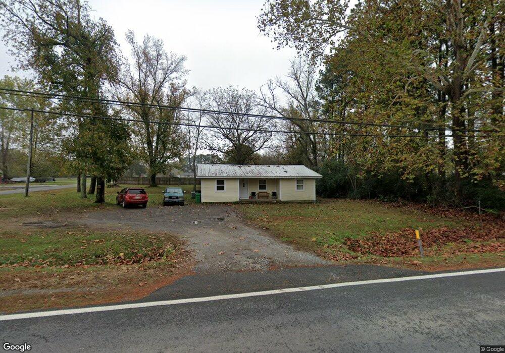
3133 Highway 367 N Austin, AR 72007
Estimated Value: $181,000 - $208,701
Studio
2
Baths
1,130
Sq Ft
$174/Sq Ft
Est. Value
About This Home
This home is located at 3133 Highway 367 N, Austin, AR 72007 and is currently estimated at $196,425, approximately $173 per square foot. 3133 Highway 367 N is a home located in Lonoke County with nearby schools including Northside Elementary School, Cabot Middle School North, and Cabot Junior High North.
Ownership History
Date
Name
Owned For
Owner Type
Purchase Details
Closed on
Oct 16, 2020
Sold by
Lusty Carlis and Lusty Claudette
Bought by
Stover Vannette and Stover Anthony Leo
Current Estimated Value
Purchase Details
Closed on
Jul 24, 2017
Sold by
Secretary Housing Urban Development
Bought by
Lusty Carl and Lusty Claudette
Purchase Details
Closed on
Jul 21, 1987
Bought by
Lusty and Wife Claudette
Purchase Details
Closed on
May 22, 1987
Bought by
Stephens
Create a Home Valuation Report for This Property
The Home Valuation Report is an in-depth analysis detailing your home's value as well as a comparison with similar homes in the area
Home Values in the Area
Average Home Value in this Area
Purchase History
| Date | Buyer | Sale Price | Title Company |
|---|---|---|---|
| Stover Vannette | -- | Attorney S Title Group Pllc | |
| Stover Vannette | -- | None Listed On Document | |
| Lusty Carl | -- | Professional Land Title | |
| Lusty | $15,000 | -- | |
| Lusty | $15,000 | -- | |
| Stephens | -- | -- |
Source: Public Records
Tax History
| Year | Tax Paid | Tax Assessment Tax Assessment Total Assessment is a certain percentage of the fair market value that is determined by local assessors to be the total taxable value of land and additions on the property. | Land | Improvement |
|---|---|---|---|---|
| 2025 | $571 | $11,290 | $1,950 | $9,340 |
| 2024 | $571 | $11,290 | $1,950 | $9,340 |
| 2023 | $571 | $11,290 | $1,950 | $9,340 |
| 2022 | $571 | $11,290 | $1,950 | $9,340 |
| 2021 | $571 | $11,290 | $1,950 | $9,340 |
| 2020 | $491 | $9,700 | $1,950 | $7,750 |
| 2019 | $491 | $9,700 | $1,950 | $7,750 |
| 2018 | $491 | $9,700 | $1,950 | $7,750 |
| 2017 | $458 | $9,700 | $1,950 | $7,750 |
| 2016 | $491 | $9,700 | $1,950 | $7,750 |
| 2015 | $448 | $8,850 | $1,950 | $6,900 |
| 2014 | $448 | $8,850 | $1,950 | $6,900 |
Source: Public Records
Map
Nearby Homes
- E Main St
- 0 Rainbow Lake Unit 25045643
- Lot 99 Vernon Ct
- TBD E Main St
- 207 Plum Dr
- 241 Plum Dr
- 160 Creekside Dr
- 788 Mango Loop
- 761 Mango Loop
- 13 Marlin Dr
- 164 Crystal Lake Rd
- 741 E Main St
- 0 N Willie Ray Dr
- 44 Shadow Creek Cir
- 2614 Highway 38
- 00 N 2nd St
- 115 Carriage Cove
- 150 Gunsmoke Ln
- 505 Madeleine Cir
- 503 Madeleine Cir
- 3095 Highway 367 N
- 3165 Highway 367 N
- 312 S Pool St
- 3170 Highway 367 N
- 206 S Pool St
- 410 S Pool St Unit 412
- 204 S Pool St
- 3053 Arkansas 367
- N Hwy 367
- 301 S 1st St
- 2.3 Acres Hwy 319
- 35 Grandstand Dr
- 47 Grand Stand Dr
- 3023 Highway 367 N
- 3023 Highway 367 N
- 307 S 1st St
- 306 S Pool St
- 303 S 1st St
- 3222 Arkansas 367
- 3222 Highway 367 N
Your Personal Tour Guide
Ask me questions while you tour the home.