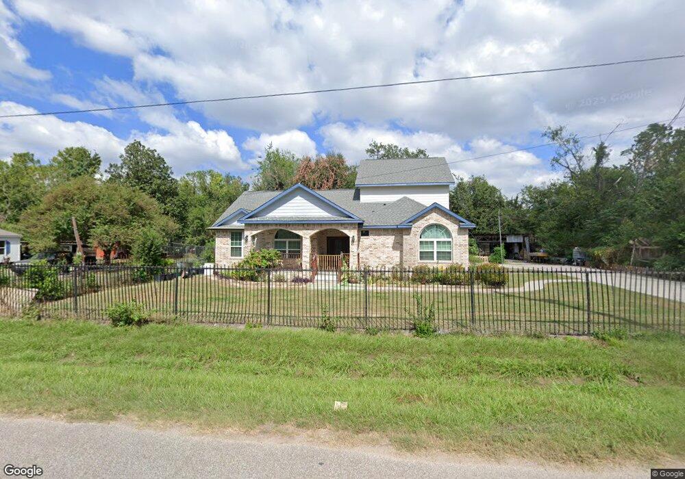
3134 Wheat St Houston, TX 77038
North Houston NeighborhoodEstimated Value: $267,000 - $318,000
2
Beds
2
Baths
1,916
Sq Ft
$157/Sq Ft
Est. Value
About This Home
This home is located at 3134 Wheat St, Houston, TX 77038 and is currently estimated at $300,023, approximately $156 per square foot. 3134 Wheat St is a home located in Harris County with nearby schools including Kujawa EC/Pre-K/K School, Wilson Intermediate School, and Shotwell Middle School.
Ownership History
Date
Name
Owned For
Owner Type
Purchase Details
Closed on
May 8, 2014
Sold by
Agile Funding Llc
Bought by
Namcharoen Sangthong
Current Estimated Value
Home Financials for this Owner
Home Financials are based on the most recent Mortgage that was taken out on this home.
Original Mortgage
$100,000
Outstanding Balance
$76,496
Interest Rate
4.43%
Mortgage Type
Purchase Money Mortgage
Estimated Equity
$223,527
Create a Home Valuation Report for This Property
The Home Valuation Report is an in-depth analysis detailing your home's value as well as a comparison with similar homes in the area
Home Values in the Area
Average Home Value in this Area
Purchase History
| Date | Buyer | Sale Price | Title Company |
|---|---|---|---|
| Namcharoen Sangthong | -- | Capital Title |
Source: Public Records
Mortgage History
| Date | Status | Borrower | Loan Amount |
|---|---|---|---|
| Open | Namcharoen Sangthong | $100,000 |
Source: Public Records
Tax History Compared to Growth
Tax History
| Year | Tax Paid | Tax Assessment Tax Assessment Total Assessment is a certain percentage of the fair market value that is determined by local assessors to be the total taxable value of land and additions on the property. | Land | Improvement |
|---|---|---|---|---|
| 2025 | $6,146 | $277,478 | $54,995 | $222,483 |
| 2024 | $6,146 | $317,641 | $59,895 | $257,746 |
| 2023 | $6,146 | $359,391 | $39,204 | $320,187 |
| 2022 | $7,138 | $347,144 | $39,204 | $307,940 |
| 2021 | $902 | $41,867 | $29,948 | $11,919 |
| 2020 | $973 | $42,850 | $29,948 | $12,902 |
| 2019 | $1,248 | $52,475 | $39,416 | $13,059 |
| 2018 | $713 | $49,657 | $39,416 | $10,241 |
| 2017 | $1,125 | $49,657 | $39,416 | $10,241 |
| 2016 | $953 | $42,051 | $31,810 | $10,241 |
| 2015 | $476 | $39,830 | $27,661 | $12,169 |
| 2014 | $476 | $39,512 | $27,661 | $11,851 |
Source: Public Records
Map
Nearby Homes
- 13308 Ann Louise Rd
- 3240 Brownie Campbell Rd
- 2919 Sunwood Dr
- 13803 Bearwood Rd
- 3127 Frick Rd
- 2719 Magnolia Hill Trail
- 2835 Oakland Brook St
- 2831 Oakland Brook St
- 2838 Packard Elm St
- 13518 Kaltenbrun Rd
- 2811 Oakland Brook St
- 13610 Kaltenbrun Rd
- 2530 Woodtown Dr
- 14003 Valley Grove Dr
- 3265 Frick Rd
- 12611 Landon Light Ln
- 2614 Lemonwood Ln
- 14118 Magnolia Springs Dr
- 6502 Trail Valley Way
- 10522 Northview Dr
- 3118 Wheat St
- 3137 Wheat St
- 3114 Wheat St
- 3115 Wheat St
- 3147 Wheat St
- 3123 Wheat St
- 13421 Sundale Rd
- 13425 Sundale Rd
- 3155 Wheat St
- 13510 Ann Louise Rd
- 13411 Sundale Rd
- 13525 Sundale Rd
- 13602 Ann Louise Rd
- 13602 Ann Louise Rd
- 13402 Ann Louise Rd
- 13329 Sundale Rd
- 13506 Sundale Rd
- 13418 Sundale Rd
- 3159 Wheat St
- 13426 Ann Louise Rd