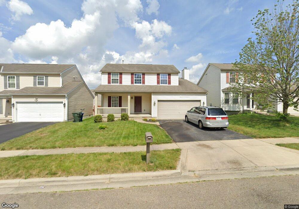
3135 Amberfield Dr Columbus, OH 43232
Walnut Heights NeighborhoodEstimated Value: $306,350 - $317,000
3
Beds
3
Baths
1,517
Sq Ft
$204/Sq Ft
Est. Value
About This Home
This home is located at 3135 Amberfield Dr, Columbus, OH 43232 and is currently estimated at $309,838, approximately $204 per square foot. 3135 Amberfield Dr is a home located in Franklin County with nearby schools including Liberty Elementary School, Yorktown Middle School, and Independence High School.
Ownership History
Date
Name
Owned For
Owner Type
Purchase Details
Closed on
Dec 14, 2005
Sold by
Joshua Investment Co
Bought by
Rogan Timothy
Current Estimated Value
Home Financials for this Owner
Home Financials are based on the most recent Mortgage that was taken out on this home.
Original Mortgage
$132,000
Outstanding Balance
$81,817
Interest Rate
8.17%
Mortgage Type
Fannie Mae Freddie Mac
Estimated Equity
$228,021
Create a Home Valuation Report for This Property
The Home Valuation Report is an in-depth analysis detailing your home's value as well as a comparison with similar homes in the area
Home Values in the Area
Average Home Value in this Area
Purchase History
| Date | Buyer | Sale Price | Title Company |
|---|---|---|---|
| Rogan Timothy | $165,100 | Builder Tit |
Source: Public Records
Mortgage History
| Date | Status | Borrower | Loan Amount |
|---|---|---|---|
| Open | Rogan Timothy | $132,000 |
Source: Public Records
Tax History Compared to Growth
Tax History
| Year | Tax Paid | Tax Assessment Tax Assessment Total Assessment is a certain percentage of the fair market value that is determined by local assessors to be the total taxable value of land and additions on the property. | Land | Improvement |
|---|---|---|---|---|
| 2024 | $3,616 | $80,570 | $24,150 | $56,420 |
| 2023 | $3,570 | $80,570 | $24,150 | $56,420 |
| 2022 | $2,781 | $53,620 | $5,250 | $48,370 |
| 2021 | $2,786 | $53,620 | $5,250 | $48,370 |
| 2020 | $2,790 | $53,620 | $5,250 | $48,370 |
| 2019 | $2,689 | $44,320 | $4,380 | $39,940 |
| 2018 | $2,573 | $44,320 | $4,380 | $39,940 |
| 2017 | $2,700 | $44,320 | $4,380 | $39,940 |
| 2016 | $2,713 | $40,960 | $7,390 | $33,570 |
| 2015 | $2,463 | $40,960 | $7,390 | $33,570 |
| 2014 | $2,469 | $40,960 | $7,390 | $33,570 |
| 2013 | $1,353 | $45,500 | $8,190 | $37,310 |
Source: Public Records
Map
Nearby Homes
- 4847 Amber Crossing Dr
- 4784 Nieles Edge Dr
- 4783 Nieles Edge Dr
- 5152 Burdett Dr
- 5143 Rutledge Dr N
- 2900 Ronda Rd
- 2901 Renfro Rd
- 2746 Noe Bixby Rd
- 5323 Sundale Place S
- 5125 Upton Rd N
- 3246 Latonia Rd
- 3493 Tremaine Rd
- 3496 Cadell Rd
- 5254 Sedalia Dr
- 5422 Everson Rd N
- 3567 Wymore Place
- 2998 Osgood Rd E
- 5011 Refugee Rd
- 5106 Harbor Blvd
- 5391 Newport Rd
- 3129 Amberfield Dr
- 3123 Amberfield Dr
- 3147 Amberfield Dr
- 4887 Hanover Hill Ct
- 4881 Hanover Hill Ct
- 3117 Amberfield Dr
- 3159 Amberfield Dr
- 3124 Amberfield Dr
- 3136 Amberfield Dr
- 3142 Amberfield Dr
- 4882 Hanover Hill Ct
- 3130 Amberfield Dr
- 3111 Amberfield Dr
- 4886 Nieles Edge Dr
- 4875 Hanover Hill Ct
- 4880 Nieles Edge Dr
- 3154 Amberfield Dr
- 4876 Hanover Hill Ct
- 4874 Nieles Edge Dr
- 4869 Hanover Hill Ct