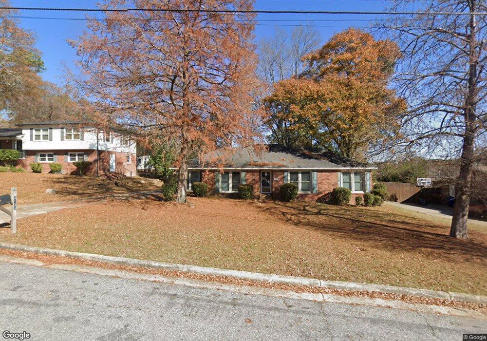
3135 Apache Dr Columbus, GA 31909
North Columbus NeighborhoodEstimated Value: $196,400 - $254,000
3
Beds
3
Baths
1,668
Sq Ft
$132/Sq Ft
Est. Value
About This Home
This home is located at 3135 Apache Dr, Columbus, GA 31909 and is currently estimated at $219,600, approximately $131 per square foot. 3135 Apache Dr is a home located in Muscogee County with nearby schools including Allen Elementary School, Arnold Middle School, and Jordan Vocational High School.
Ownership History
Date
Name
Owned For
Owner Type
Purchase Details
Closed on
Mar 13, 2024
Sold by
Averett Richard L
Bought by
Averett Healthcare Llc
Current Estimated Value
Home Financials for this Owner
Home Financials are based on the most recent Mortgage that was taken out on this home.
Original Mortgage
$153,000
Outstanding Balance
$135,667
Interest Rate
6.25%
Mortgage Type
Credit Line Revolving
Estimated Equity
$83,933
Purchase Details
Closed on
Sep 17, 2007
Sold by
Averett Denise
Bought by
Averett Denise and Averett Richard L
Home Financials for this Owner
Home Financials are based on the most recent Mortgage that was taken out on this home.
Original Mortgage
$142,759
Interest Rate
6.55%
Mortgage Type
FHA
Create a Home Valuation Report for This Property
The Home Valuation Report is an in-depth analysis detailing your home's value as well as a comparison with similar homes in the area
Home Values in the Area
Average Home Value in this Area
Purchase History
| Date | Buyer | Sale Price | Title Company |
|---|---|---|---|
| Averett Healthcare Llc | -- | None Listed On Document | |
| Averett Richard L | $180,000 | None Listed On Document | |
| Averett Denise | -- | None Available | |
| Averett Denise | $145,000 | None Available |
Source: Public Records
Mortgage History
| Date | Status | Borrower | Loan Amount |
|---|---|---|---|
| Open | Averett Richard L | $153,000 | |
| Previous Owner | Averett Denise | $142,759 |
Source: Public Records
Tax History
| Year | Tax Paid | Tax Assessment Tax Assessment Total Assessment is a certain percentage of the fair market value that is determined by local assessors to be the total taxable value of land and additions on the property. | Land | Improvement |
|---|---|---|---|---|
| 2025 | $2,712 | $69,292 | $8,588 | $60,704 |
| 2024 | $2,106 | $53,808 | $8,588 | $45,220 |
| 2023 | $2,120 | $53,808 | $8,588 | $45,220 |
| 2022 | $1,743 | $42,688 | $8,588 | $34,100 |
| 2021 | $1,662 | $40,692 | $8,588 | $32,104 |
| 2020 | $1,662 | $40,692 | $8,588 | $32,104 |
| 2019 | $1,667 | $40,692 | $8,588 | $32,104 |
| 2018 | $1,667 | $40,692 | $8,588 | $32,104 |
| 2017 | $1,672 | $40,692 | $8,588 | $32,104 |
| 2016 | $2,606 | $63,181 | $6,348 | $56,833 |
| 2015 | $2,609 | $63,181 | $6,348 | $56,833 |
| 2014 | $2,613 | $63,181 | $6,348 | $56,833 |
| 2013 | -- | $63,181 | $6,348 | $56,833 |
Source: Public Records
Map
Nearby Homes
- 3091 Mustang Dr
- 3121 Bellanca St
- 2924 Beech St
- 3342 Windermere St
- 5829 Ventura Dr
- 5724 Sanford Ave
- 5836 Sherborne Dr
- 5502 Southlea Ln
- 5921 Canterbury Dr
- 2723 N Walnut St
- 6002 Canterbury Dr
- 3101 Waco St
- 3325 N Quay Dr
- 2528 Lorraine St
- 2516 Lorraine St
- 6308 Adams Park Dr
- 5820 Windsor Dr
- 6221 Charing Dr
- 2 Biltmore Ct
- 2325 Coventry Dr
- 3127 Apache Dr
- 3143 Apache Dr Unit 6
- 3143 Apache Dr
- 3133 Dehaviland Dr
- 3137 Dehaviland Dr
- 3119 Apache Dr
- 3137 De Haviland Dr
- 3123 Dehaviland Dr
- 3143 Dehaviland Dr
- 3134 Apache Dr
- 3142 Apache Dr
- 3115 Dehaviland Dr
- 3126 Apache Dr
- 3111 Apache Dr
- 3148 Apache Dr
- 3149 Dehaviland Dr
- 3157 Apache Dr
- 3120 Apache Dr
- 3103 Apache Dr
- 3202 Jottings Dr
Your Personal Tour Guide
Ask me questions while you tour the home.